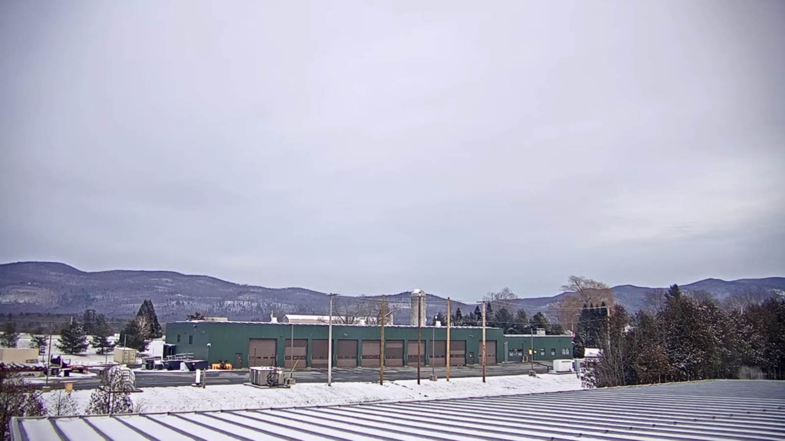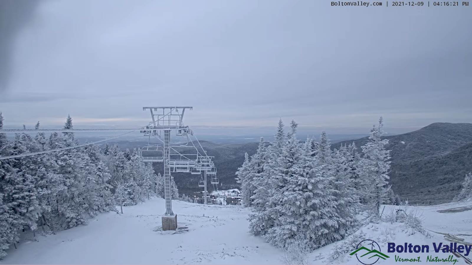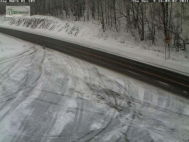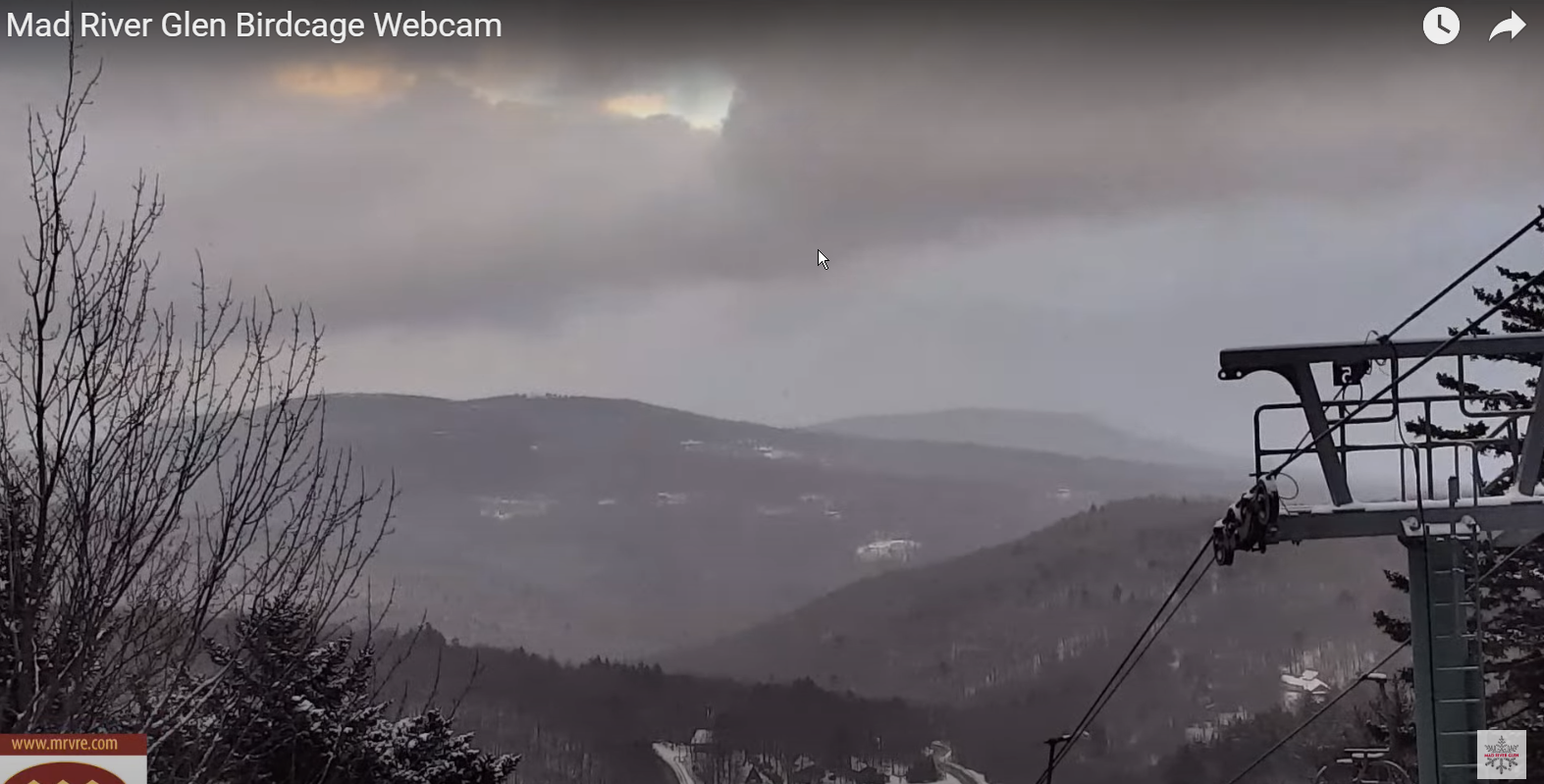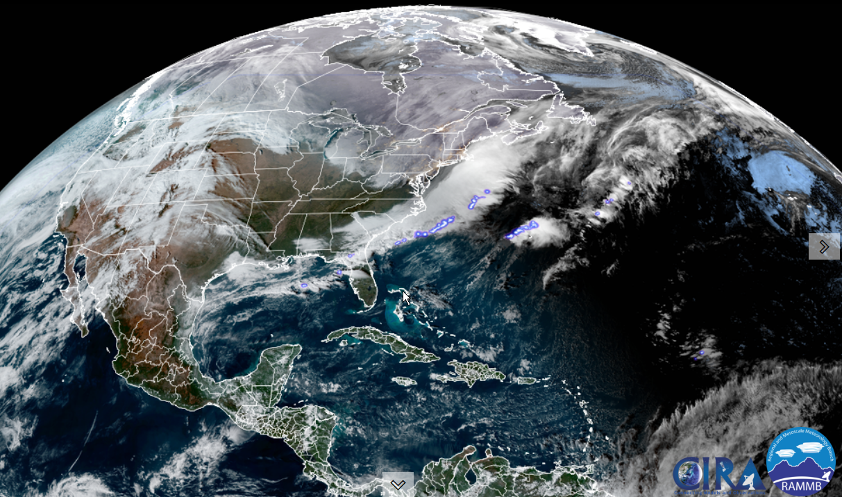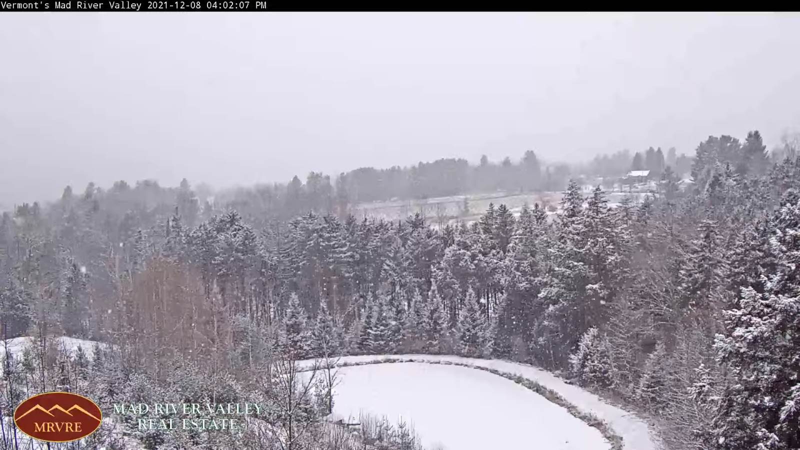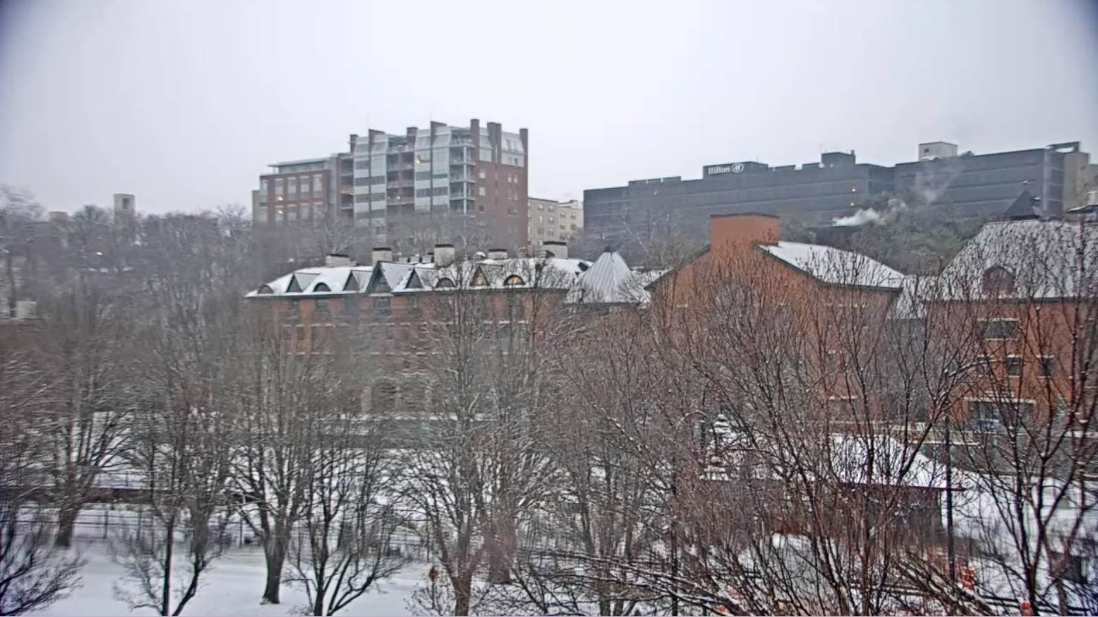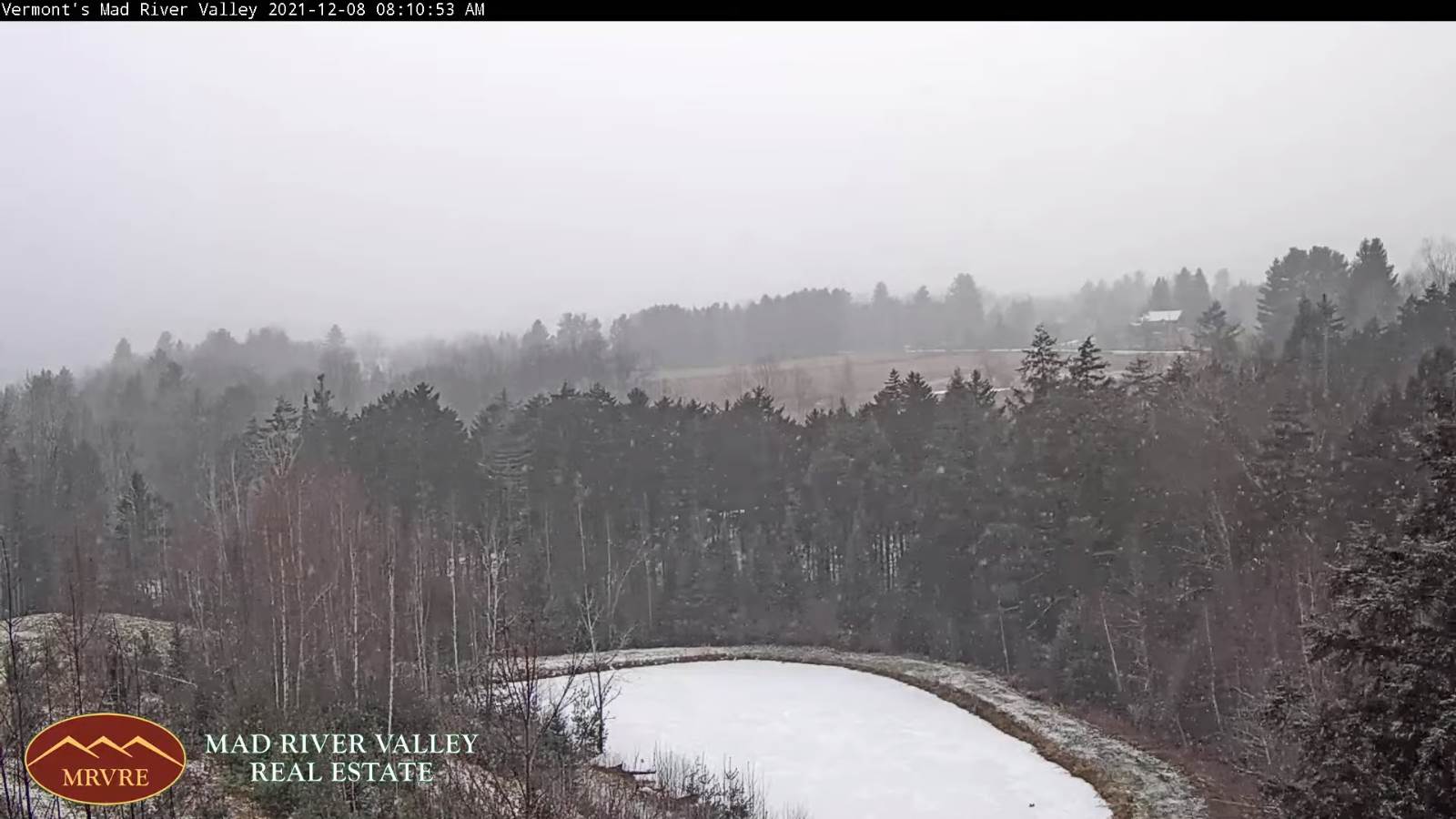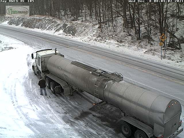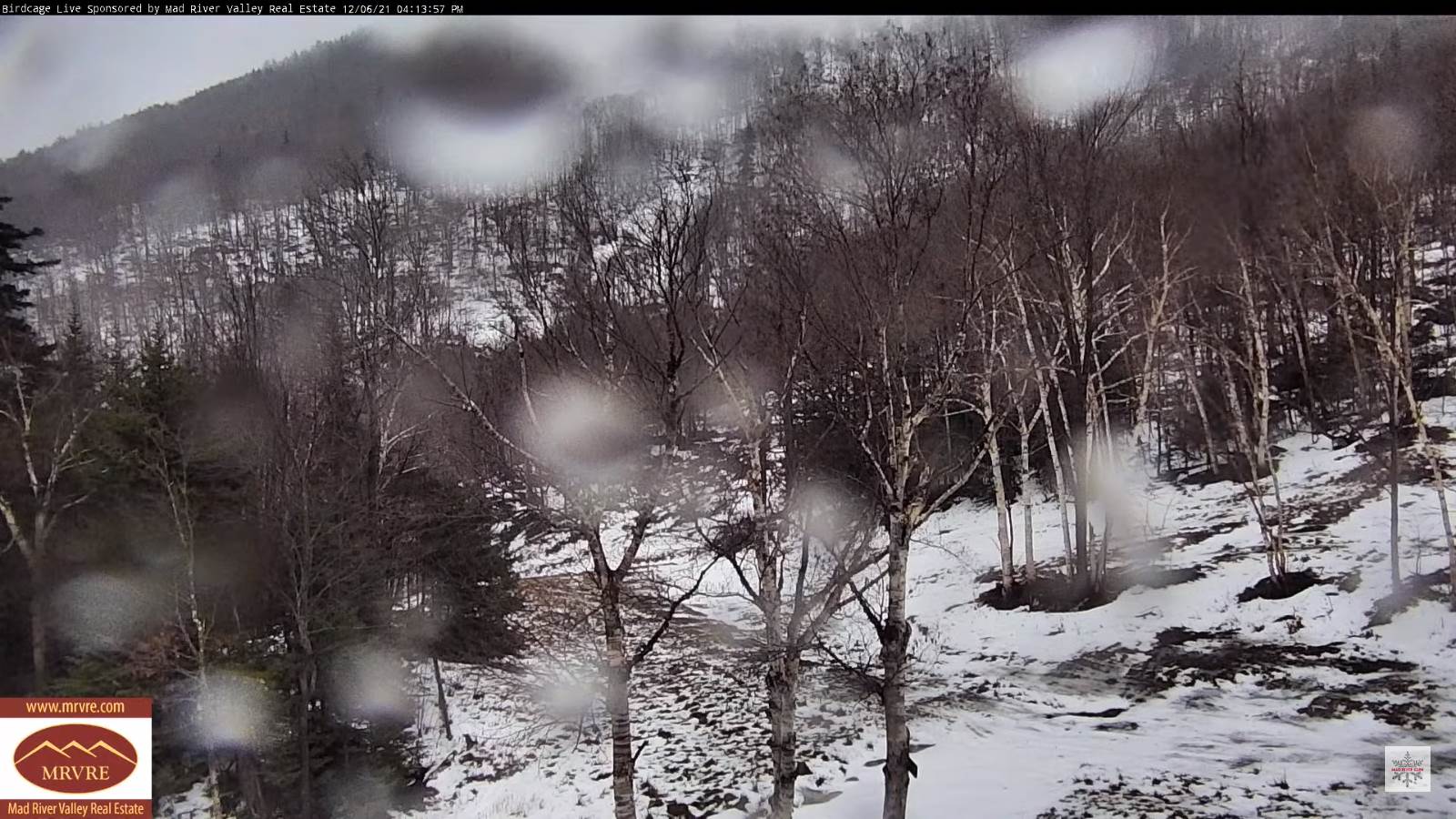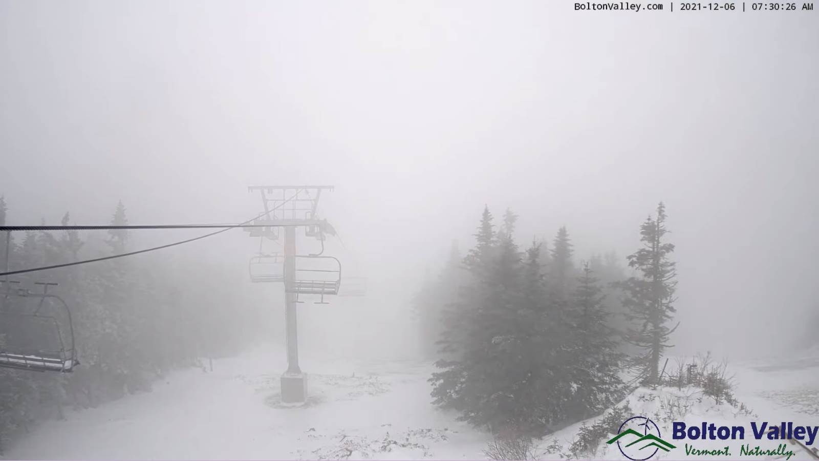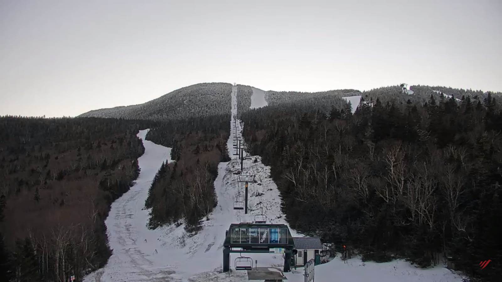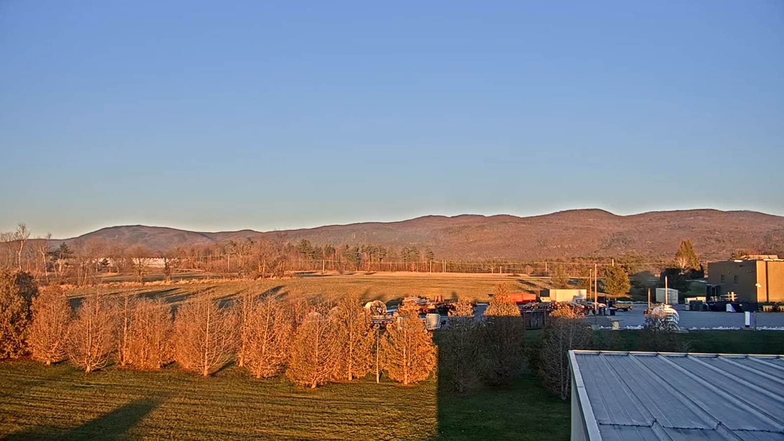
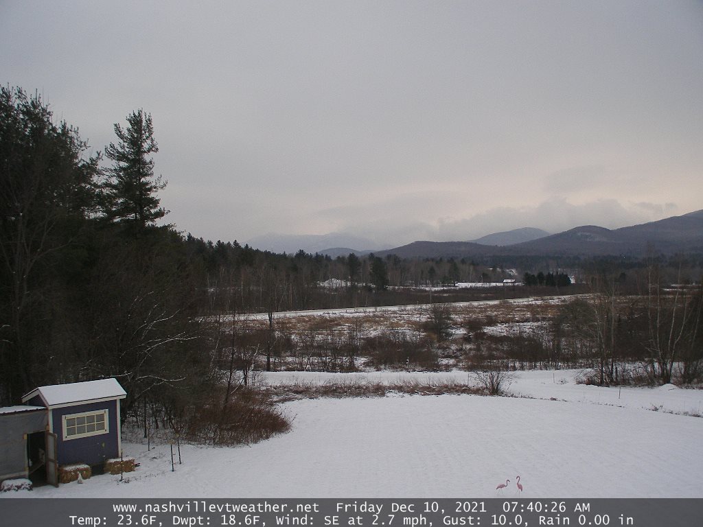
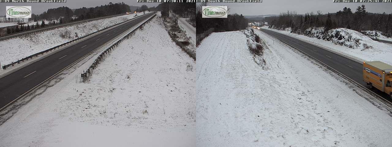
TODAY: Gray. Snow showers or flurries exit after the morning commute. A hint of sunshine at times this afternoon. A high around 35. Southeast winds 10 to 15 mph, stronger near Lake Champlain.
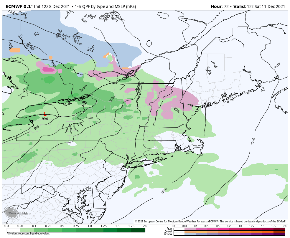
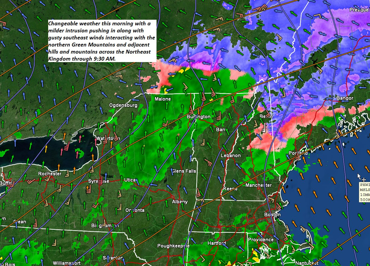
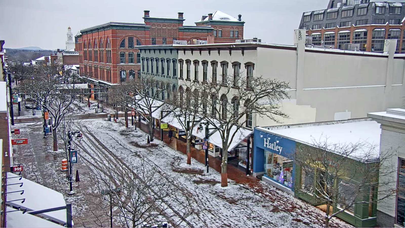
TONIGHT: Lots of clouds. Rain…with areas of freezing rain east of the Green Mountains arrives around daybreak producing a period of very slick travel. A low around 25. Light southeast winds.
SATURDAY: Rain with patches of freezing rain and light icing for couple hours east of the Green Mountains… making for slick travel. Rain showers late morning tapering to isolated showers in the afternoon. Turing very mild. A high reaching into the low to mid 50s toward evening. South to southeast winds 10 to 20 mph and gusty.
Looking further ahead…
SATURDAY NIGHT: A few brief showers early, then a round of moderate to briefly heavy rains showers…mid to late evening with a possible rumble of thunder. Breezy to windy conditions. Temperatures falling into the low to mid-30s after midnight with a few stray flurries.
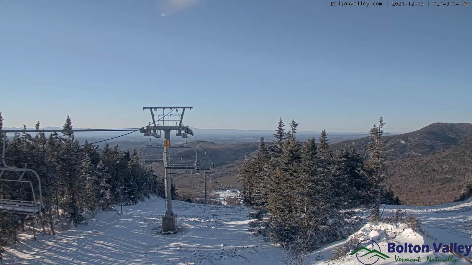
SUNDAY: Blustery and colder with a leftover mountain flurry early, giving way to increasing sunshine. Temperatures holding around 35.
MONDAY: More sun than clouds. A low 25 to 30. A high pushing to near 45.
TUESDAY: Variable cloudiness, slight chance for a northern morning flurry. A low around 30. A high mid to upper 30s.
WEDNESDAY: Clouds with periods of afternoon sunshine. A low 20 to 25. A high 35 to 40.
Average lows in the mid-teens to low 20s. Average highs in the 30s.
RH/12-10forecast][end]