
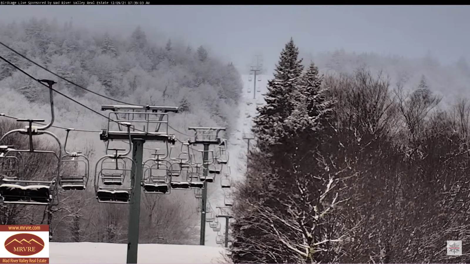
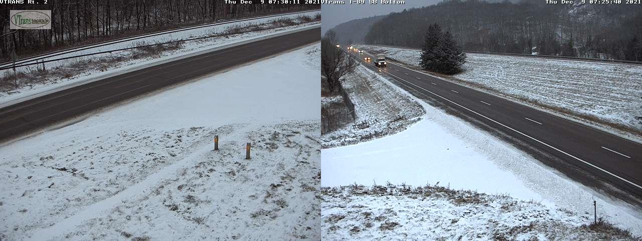
TODAY: Occasional flurries especially near the mountains into the early afternoon before diminishing, otherwise considerable cloudiness. Maybe a break of afternoon sun. A high mid to upper 20s. Northwest 10 mph.
TONIGHT: Cloudy. A rising chance for flurries northern areas after midnight. A low in the low 20s. Light southeast winds.
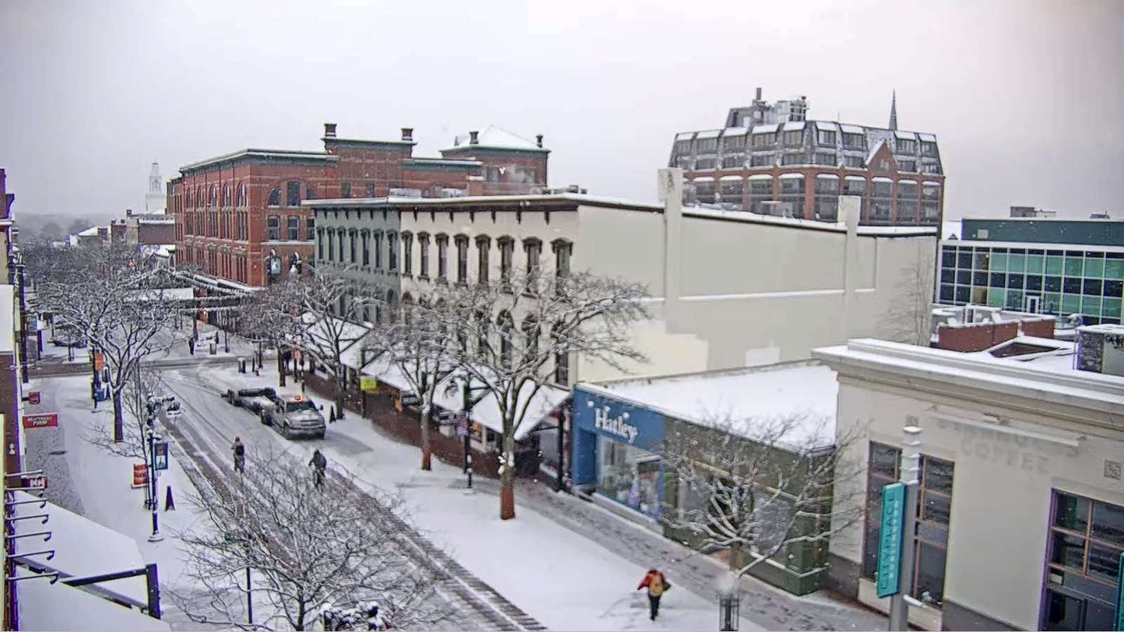
FRIDAY: Gray. Scattered snow showers or flurries exiting with minor accumulation in the morning. A high near 35. Southeast winds 10 to 15 mph, stronger near Lake Champlain.
Looking further ahead…
FRIDAY NIGHT: Lots of clouds. Good chance for rain showers arriving late…with areas of freezing rain east of the Green Mountains and slick travel Saturday morning. A low mid-20s.
SATURDAY: Gray but turning much milder. Chance for freezing rain for a time east of the Green Mountains…changing to rain…moderate at times. Risk for a round of showers with a few rumbles of thunder and strong gusty winds early to mid-evening. A high near 55.
SUNDAY: Blustery and colder with a leftover mountain flurry early, giving way to increasing sunshine. A low around 30 with a high in the mid-30s.
MONDAY: More sun than clouds. A low in the upper 20s. A high in the low 40s.
Average lows in the mid-teens to low 20s. Average highs in the 30s.
RH/12-9forecast][end]
