
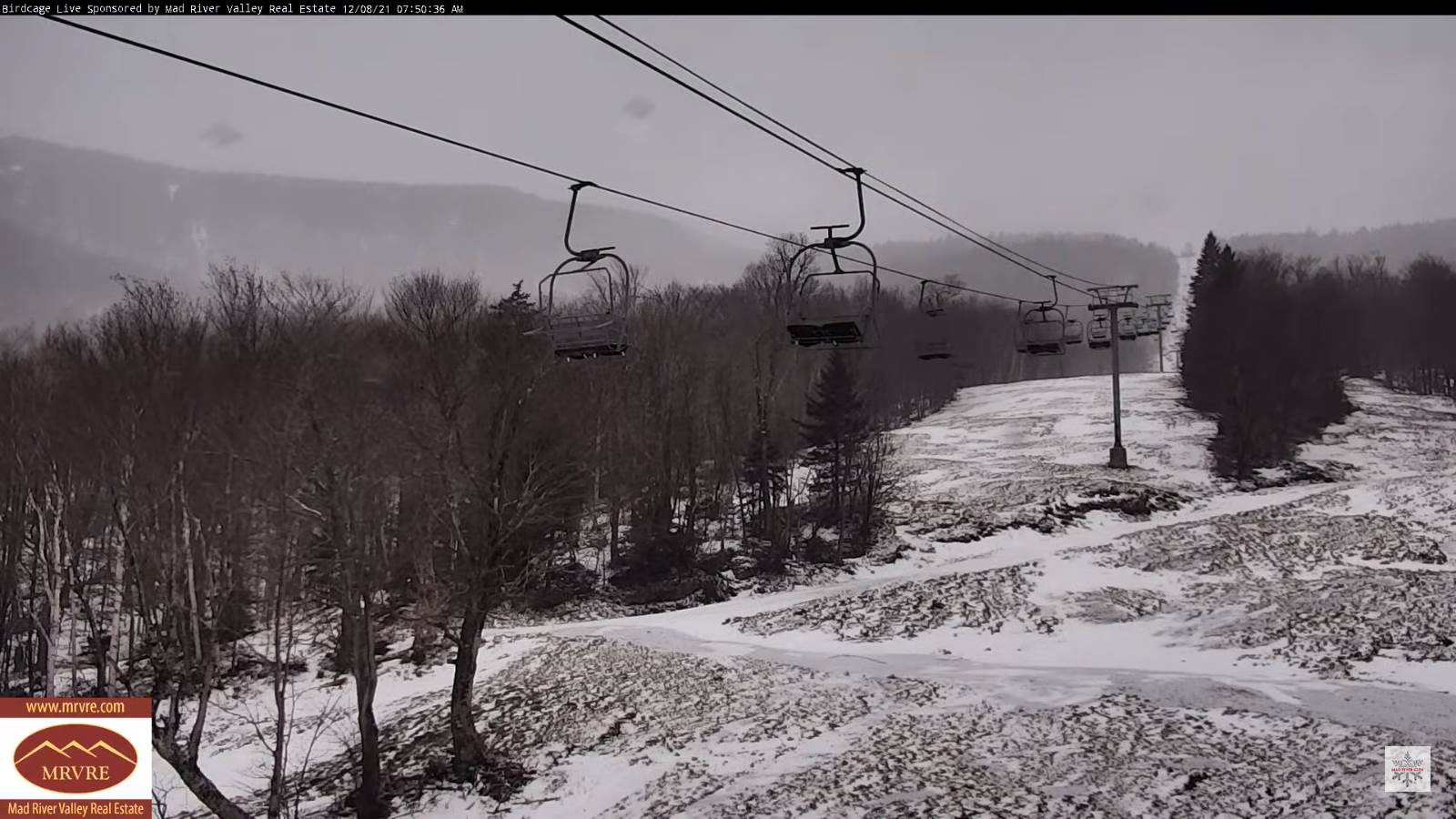
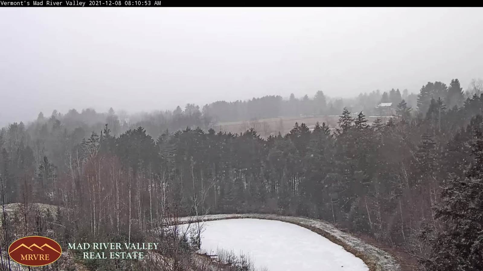
TODAY: Gray. A period of light snow or flurries this morning, with a dusting to an inch. A high upper 20s to near 30. Southeast winds 10 mph.
TONIGHT: Mainly cloudy. Occasional snow showers or flurries with about ½” of accumulation. A low around 20. Light east winds.

THURSDAY: Scattered mountain flurries with a dusting in the morning, otherwise lots of clouds. A high upper 20s to near 30. Northwest 10 mph.
Looking further ahead…
THURSDAY NIGHT: Lots of clouds. A rising chance for light snow showers or flurries after midnight. A low 20 to 25.
FRIDAY: Gray. Scattered snow showers or flurries exiting with minor accumulation in the morning. A high around 35.
SATURDAY: Mainly gray and turning much milder late. Chance for freezing rain for a time east of the Green Mountains…changing to rain…moderate at times. Mild and breezy to windy at times. A low near 30. A high 50 to 55.
SUNDAY: Isolated mountain flurries. Periods of sun developing late morning on. A low around 30 with a high in the mid-30s.
MONDAY: Partly to mostly sunny. A low around 30. A high in the low 40s.
Average lows in the mid-teens to low 20s. Average highs in the 30s.
RH/12- developing 7forecast][end]
