
Wind Advisory in effect thru 7 AM Tuesday morning.
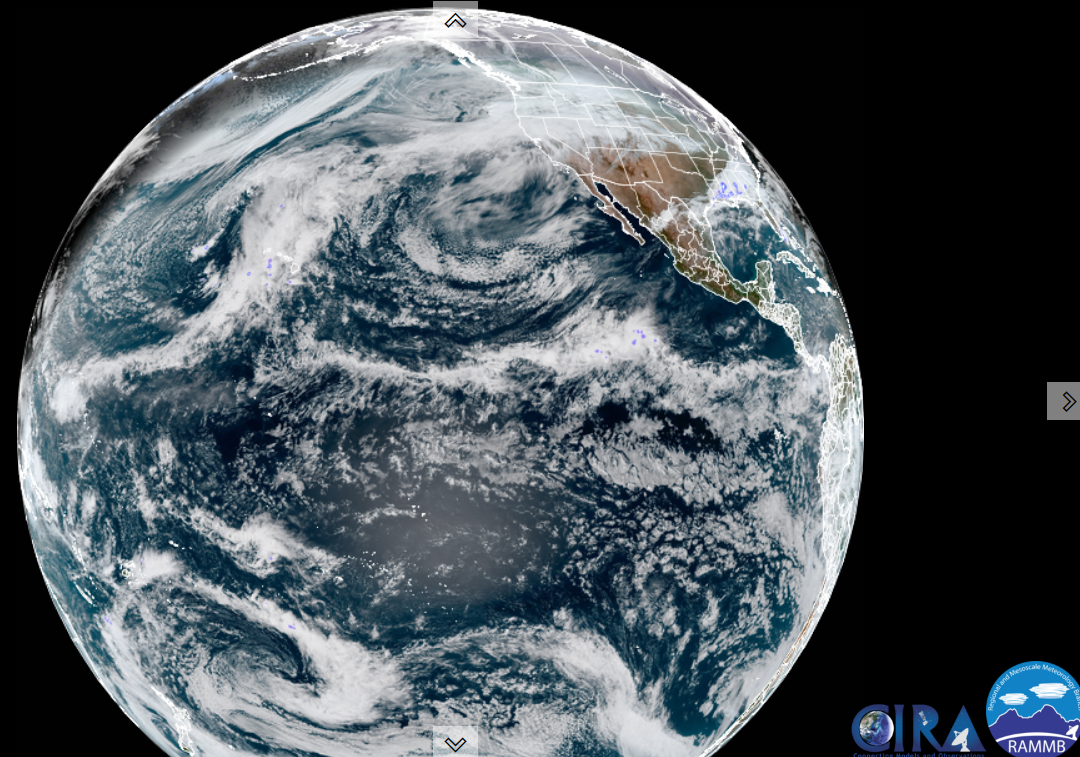
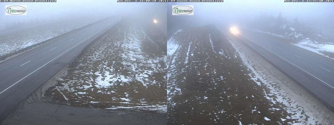
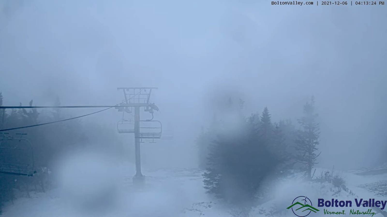
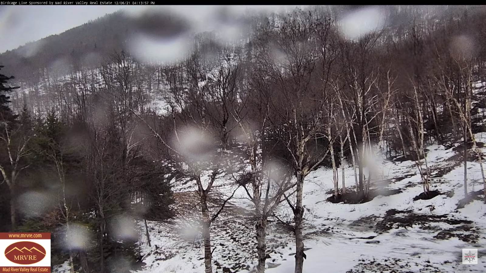
TONIGHT: Rain…briefly moderate to heavy early this evening…mixed with wet snow flakes in the mountains as a cold front passes. Otherwise partial clearing with isolated mountain flurries. A low around 25. West to southwest winds 10 to 25 mph with higher gusts southern higher terrain gradually falling off.
TOMORROW: Blustery and colder. Isolated flurries early exiting, otherwise partly to mostly sunny, but with more clouds arriving late. A high about 30. West to northwest winds 10 to 15 mph.
TUESDAY NIGHT: Mostly clear, then more clouds push in toward daybreak. Colder…A low 15 to 20. Light winds.
WEDNESDAY: Overcast. A period of light snow or flurries with a light coating of snow. A high upper 20s. Light southeast winds.
Looking further ahead…
WEDNESDAY NIGHT: Scattered leftover snow showers or flurries with minor accumulation followed by partial clearing overnight. A low in the mid-teens.
THURSDAY: Intervals of sunshine then thickening clouds. A high near 30.
FRIDAY: Gray. Chance for morning snow showers or flurries with minor accumulation. A low around 25. A high 35 to 40.
SATURDAY: Overcast. Chance for rain or showers…possibly moderate in the afternoon. A low around 32. A high 45 to 50.
SUNDAY: Gray. Chance for rain showers, changing to snow showers. A morning low in the 40s. Sharply colder. Temperatures falling thru the 30s into the 20s.
Average lows in the mid-teens to low 20s. Average highs in the 30s.
RH/12-6forecast][end]
