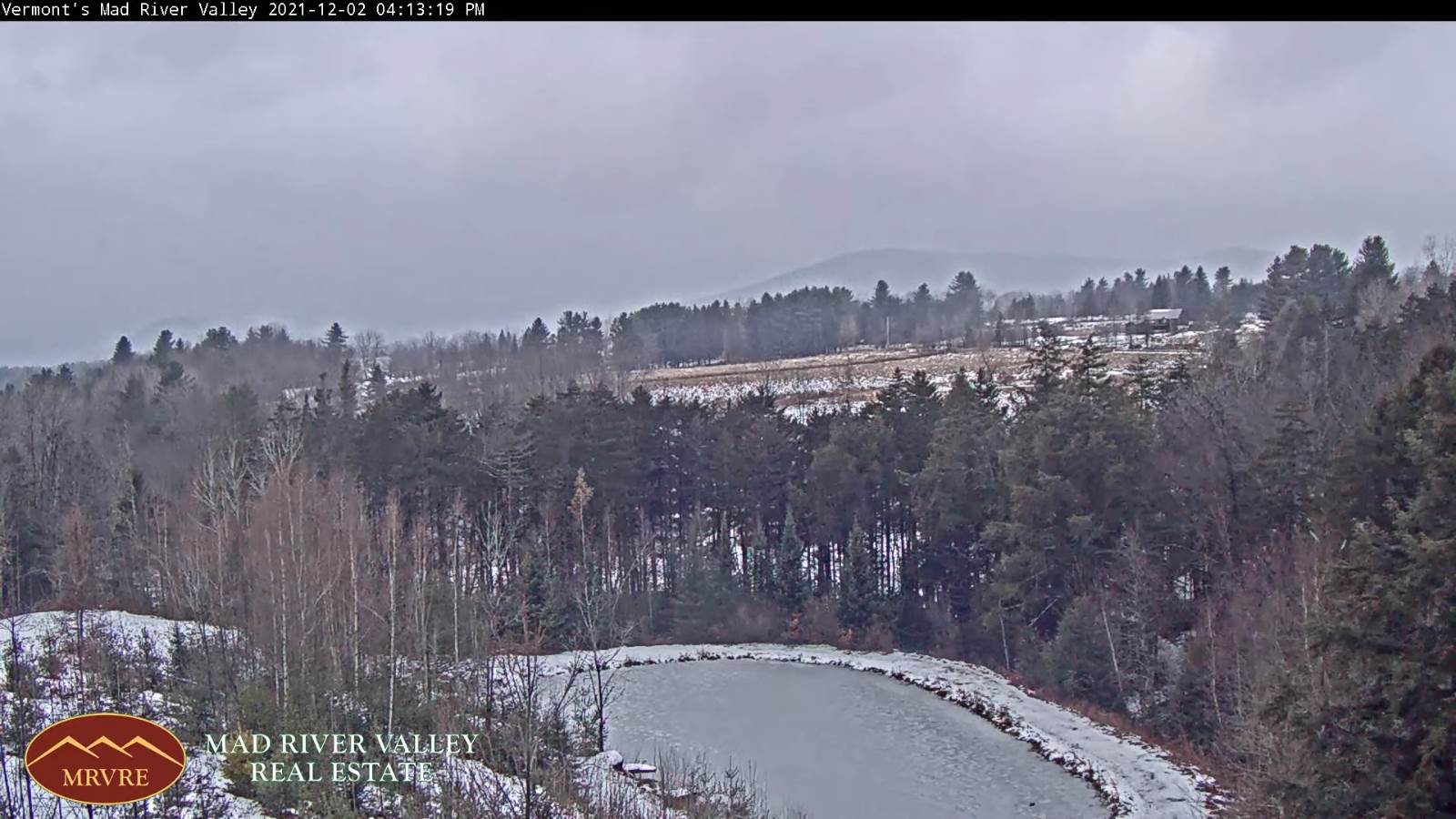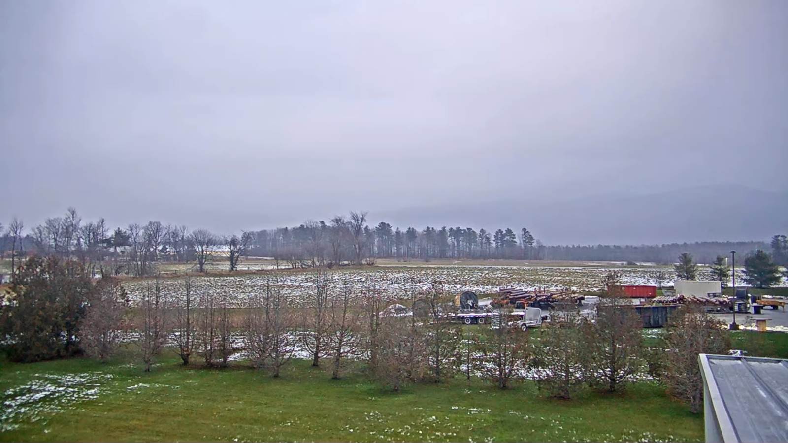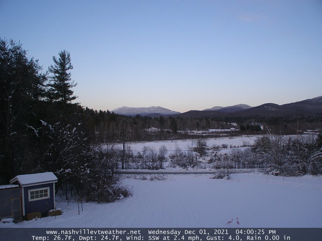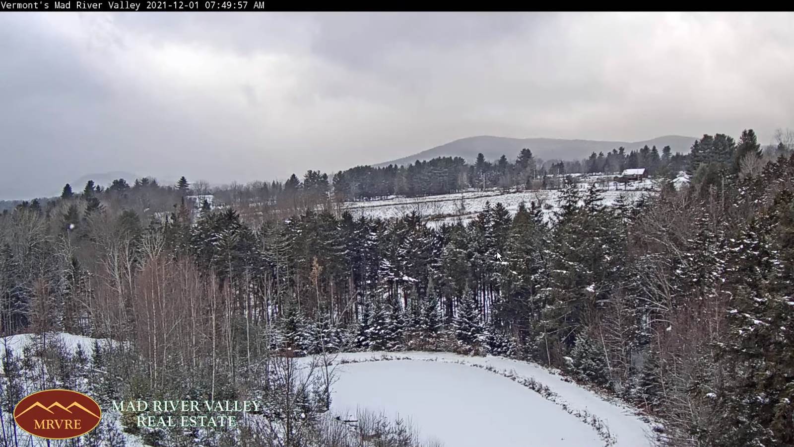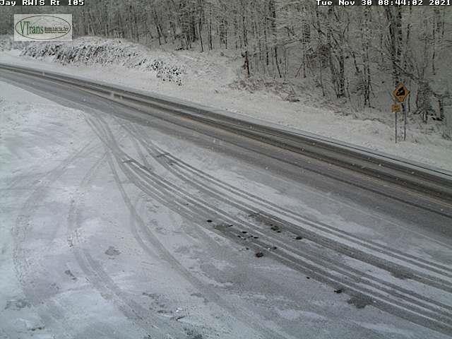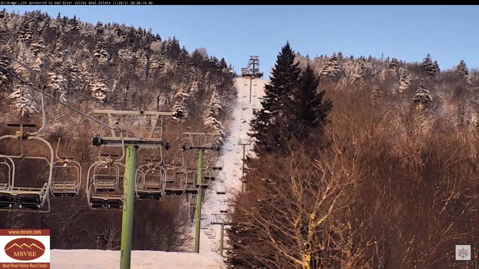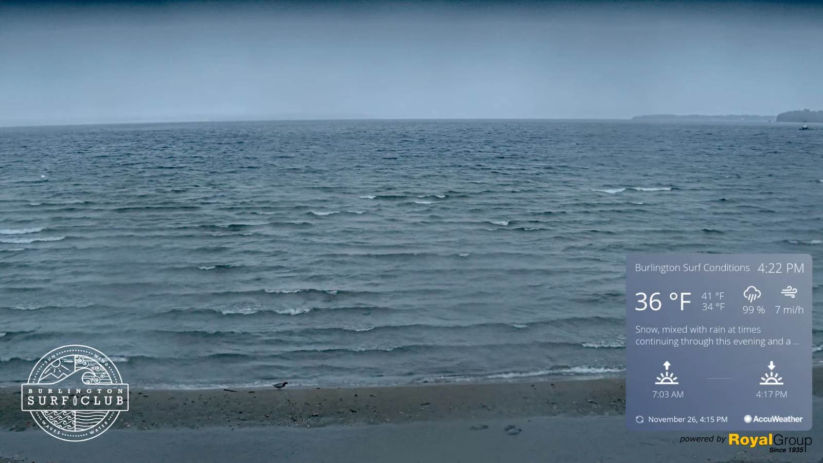
TODAY: Widely scattered leftover morning flurries with a skiff of accumulation. Watch for possible black ice. Increasing sunshine this afternoon. Blustery. An early high around 32, with temperatures falling thru the 20s. Northwest winds 10 to 25 mph and gusty.
TONIGHT: A few cloudy periods in the evening then mostly clear overnight. A low around 15. Light west winds.
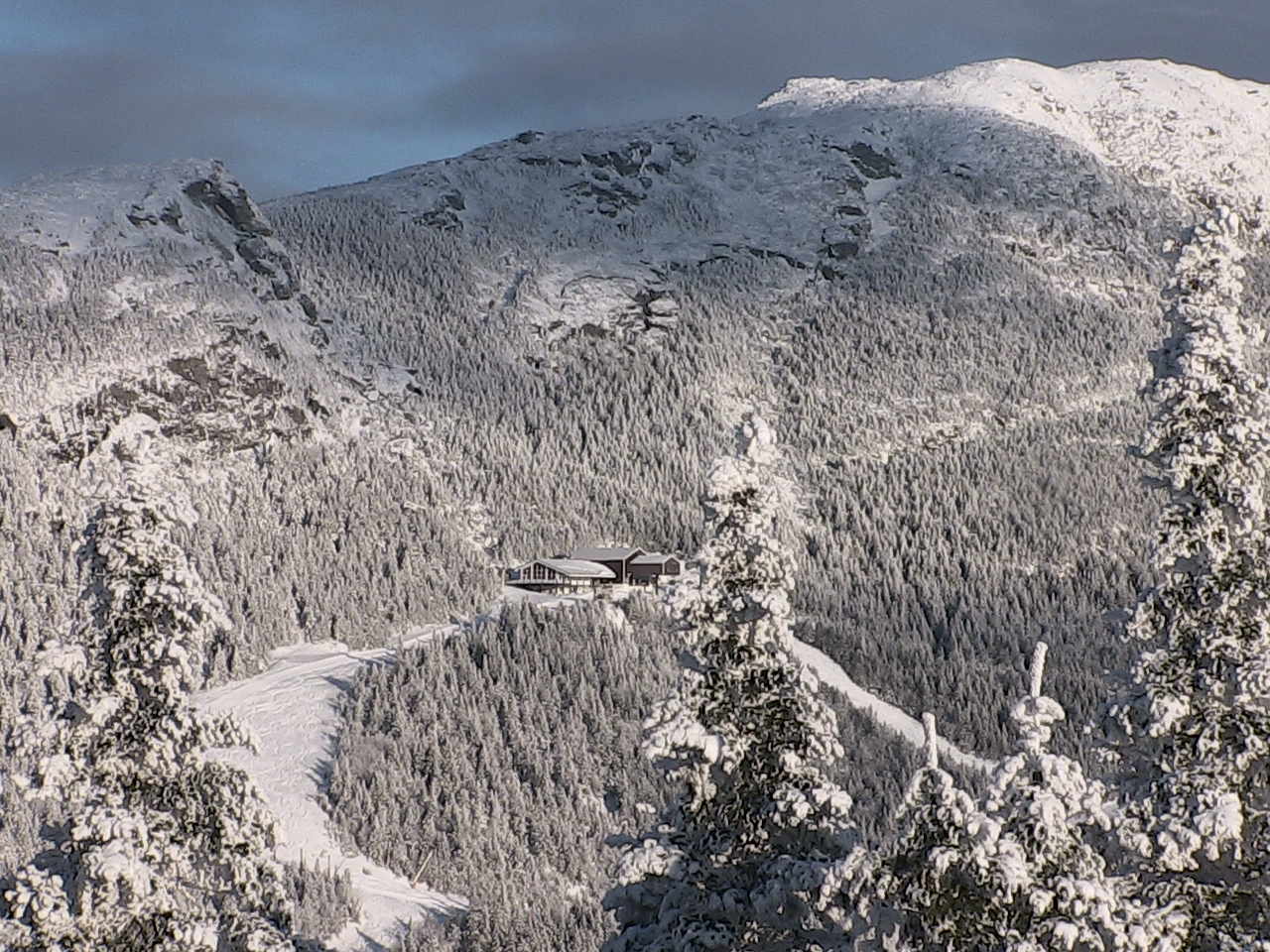
SATURDAY: Nice start with morning sun, before more clouds arrive in the afternoon. Scattered snow showers or flurries developing late afternoon, dusting to a half inch. A high near 32. Light south to southwest winds.
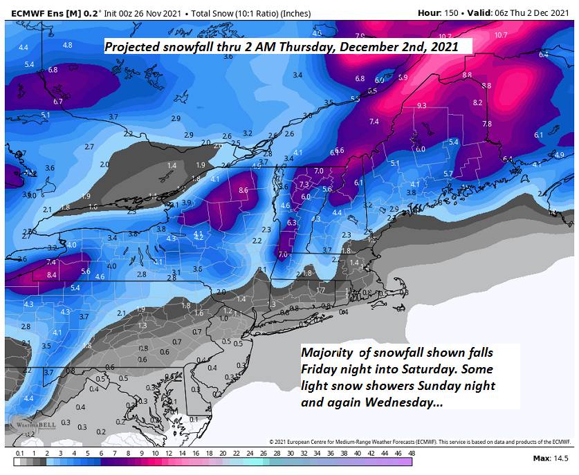
Looking further ahead…
SATURDAY NIGHT: Some lake effect snow showers lingering into the evening northern areas. A dusting to a half inch. Otherwise becoming partly cloudy overnight. A low in the teens.
SUNDAY: Morning sunshine then thickening clouds in the afternoon. A high around 30.
MONDAY: Gray skies turning much milder and breezy at times. Chance for a period of rain or rain showers…moderate at times late in the day…mixing with snow higher terrain. A low 25 to 30. A high in the upper 40s.
TUESDAY: Scattered mountain snow showers & blustery with increasing periods of sunshine in the afternoon. A low near 20. A high 32 to 35.
WEDNESDAY: Morning sun, then thickening clouds leading to a chance for snow possibly moderate at times in the afternoon. A low 20 to 25. A high in the upper 20s.
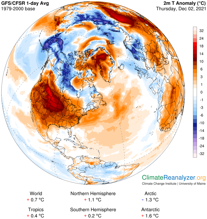
Average lows in the mid-teens to low 20s. Average highs in the 30s.
RH/12-3forecast][end]