
TONIGHT: Becoming mostly cloudy for time this evening, then clearing. A low around 15. Light northwest winds.
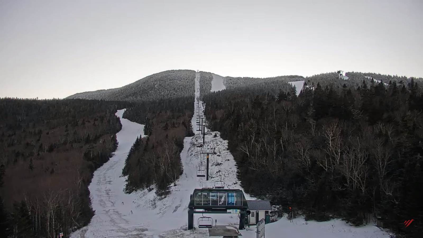
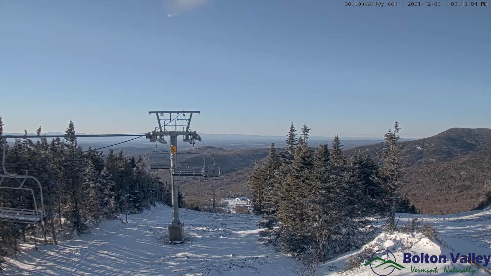
TOMORROW: Partly to mostly sunny thru midafternoon before thickening clouds arrive. Scattered mountain snow showers & valley developing late. A high in the low 30s. Light southwest winds.
SATURDAY NIGHT: Scattered snow showers or flurries. Up to an inch accumulation. Otherwise becoming partly cloudy overnight. A low mid-teens to low 20s. Light southwest winds.
SUNDAY: Morning sunshine then thickening clouds. A high near 32. Light west winds.
Looking further ahead…
SUNDAY NIGHT: Overcast. Slight chance for a brief snow shower toward daybreak. A low mid-20s to around 30.
MONDAY: Gray skies much milder & breezy at times. Good chance for rain showers…moderate at times late…mixing with snow mountain summits toward evening. A high 45 to 50.
TUESDAY: Isolated mountain flurries. & blustery with increasing periods of sunshine in the afternoon. A low near 20. A high in the mid-30s.

WEDNESDAY: Morning sun, then thickening clouds leading to a chance for accumulating snow possibly moderate at times in the afternoon. A low near 20. A high around 32.
Average lows in the mid-teens to low 20s. Average highs in the 30s.
RH/12-3forecast][end]
