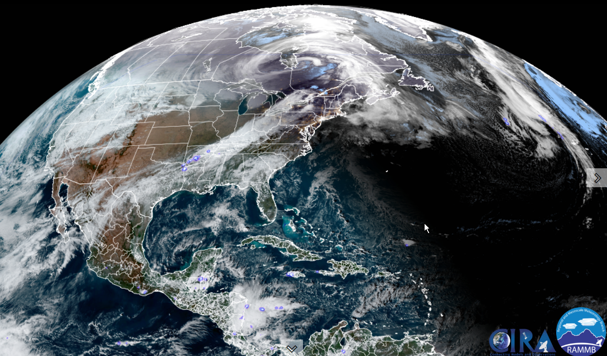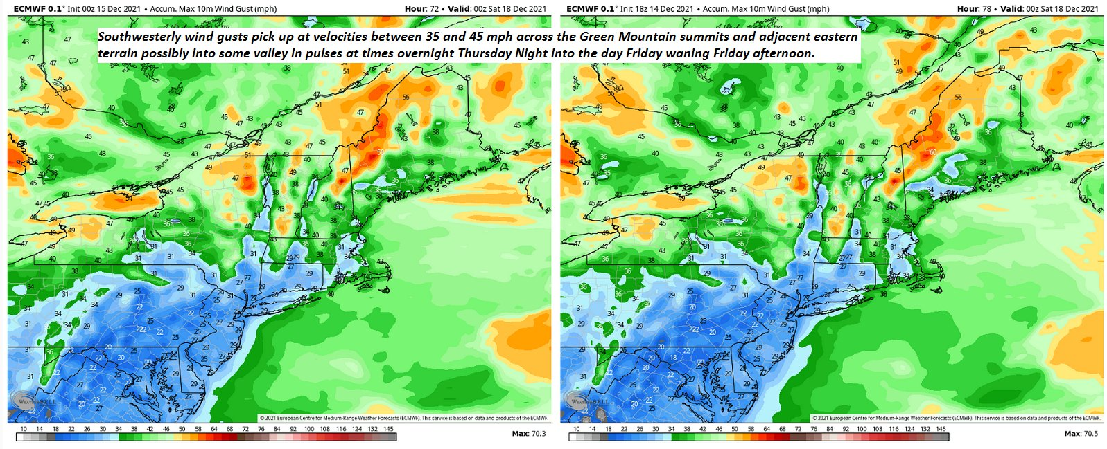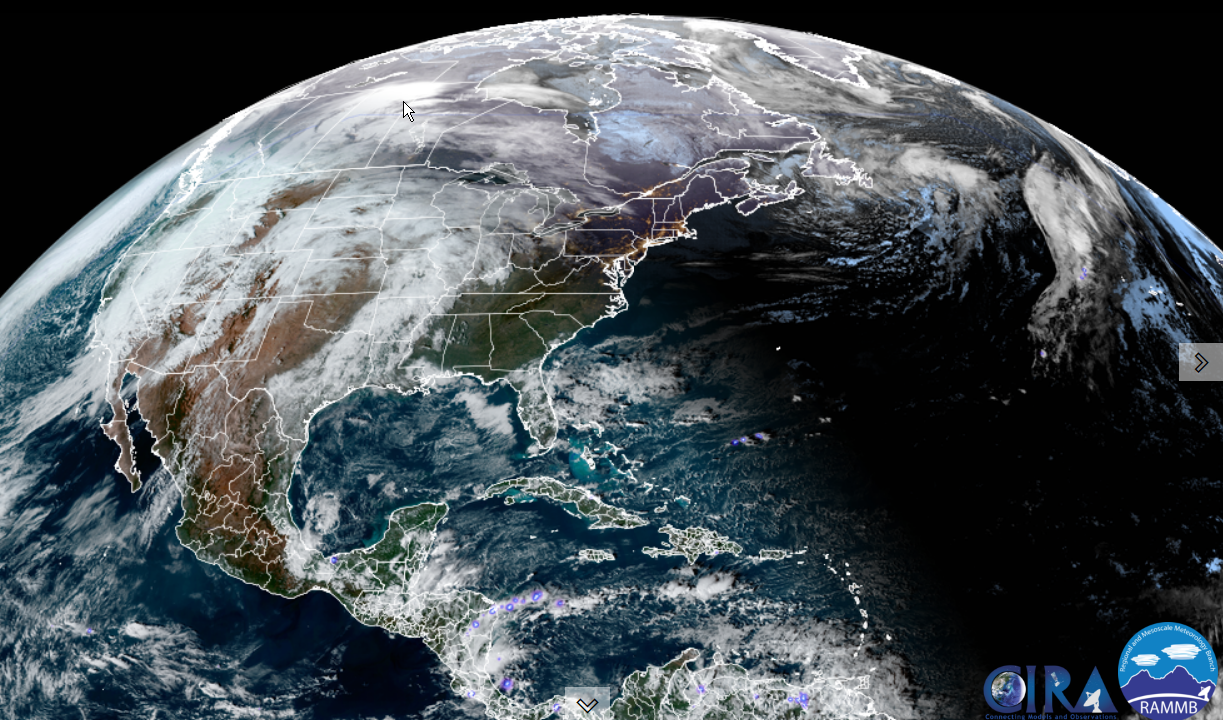
Wind Advisory Green Mountains point east Windsor County expires later this morning…
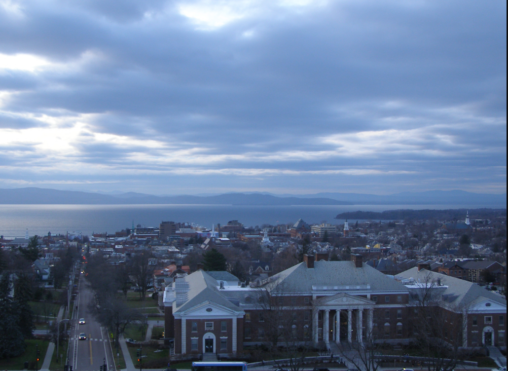
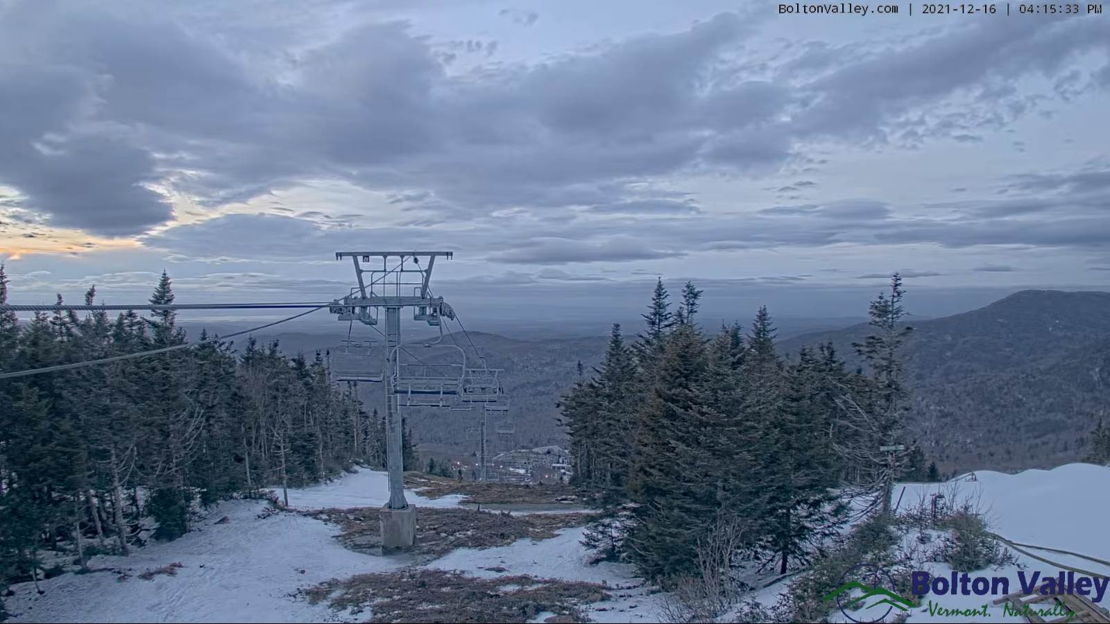
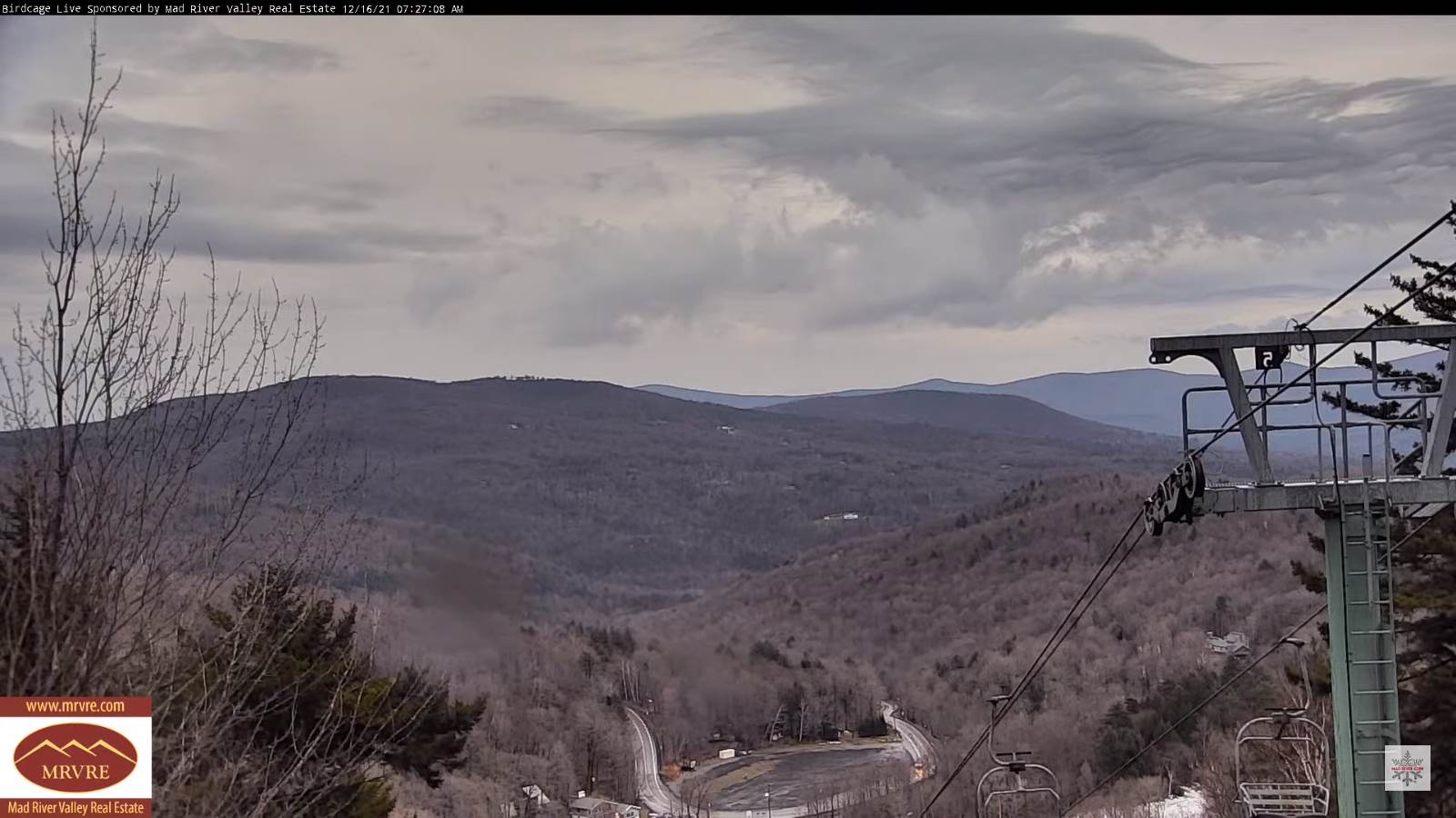
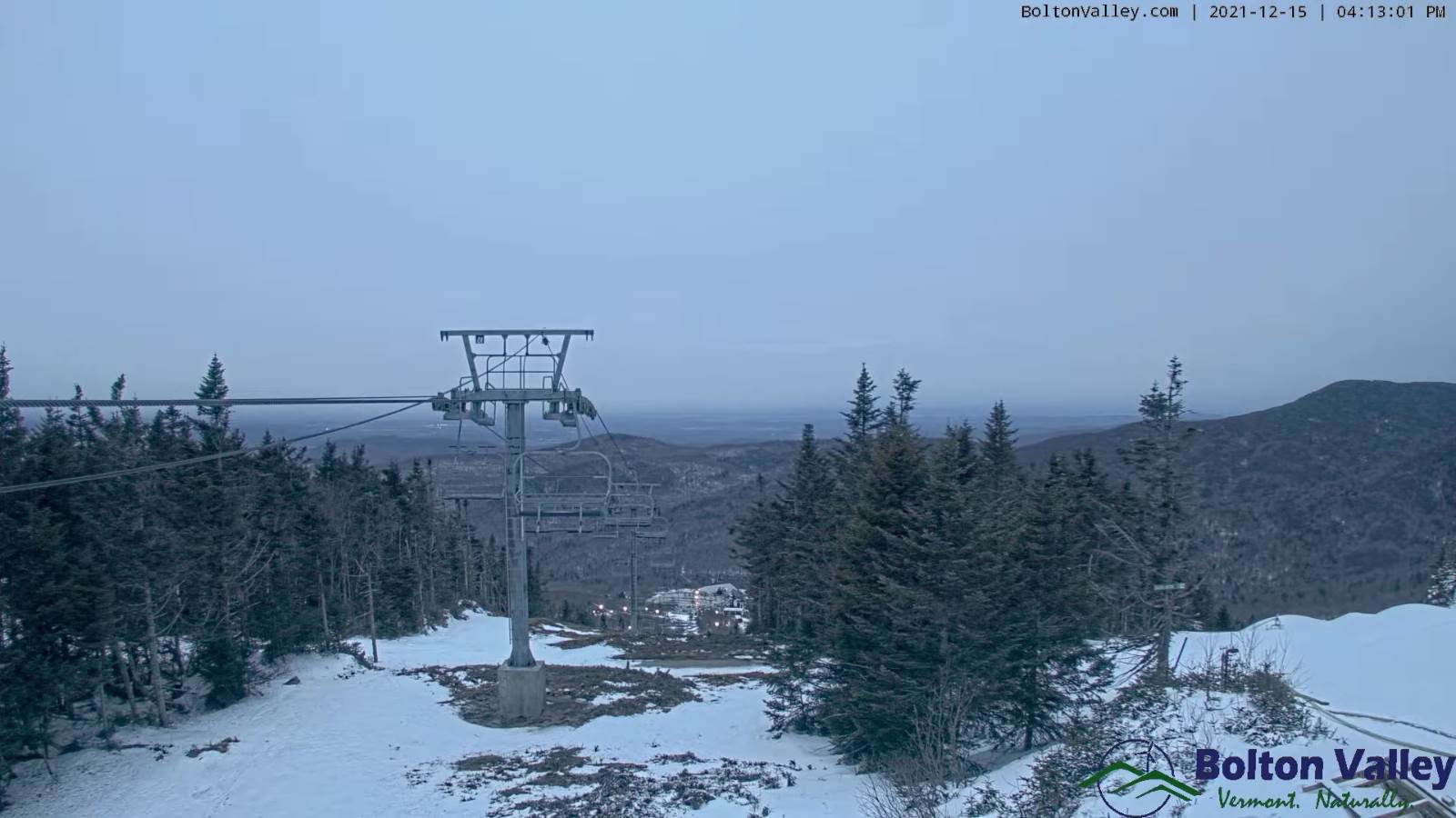
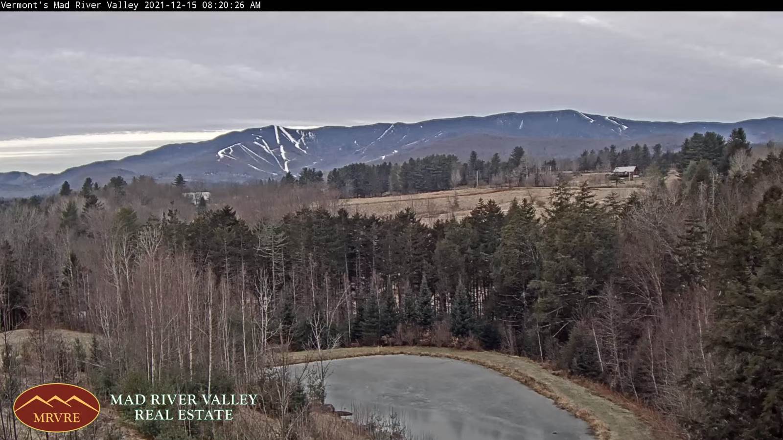
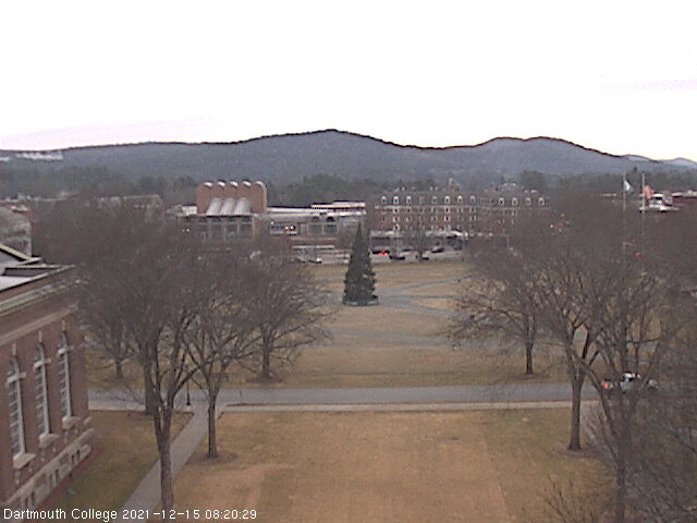
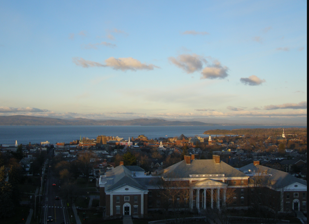
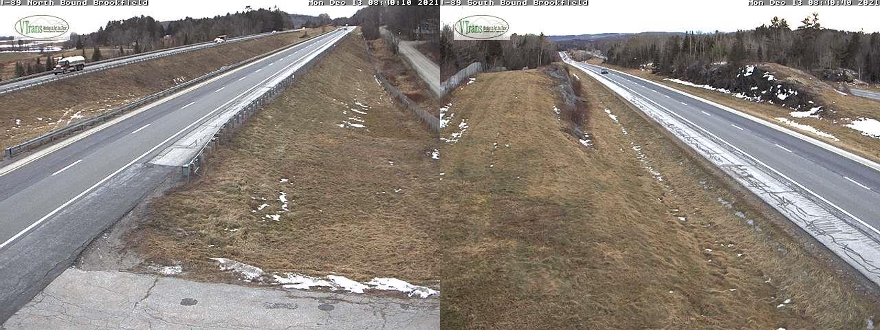
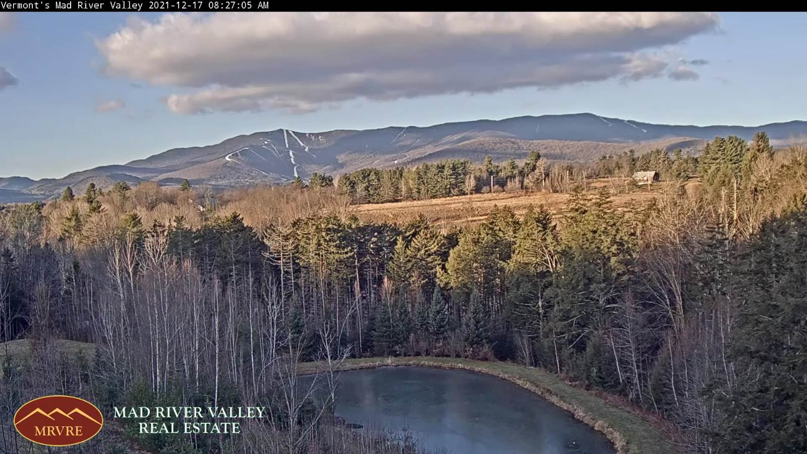
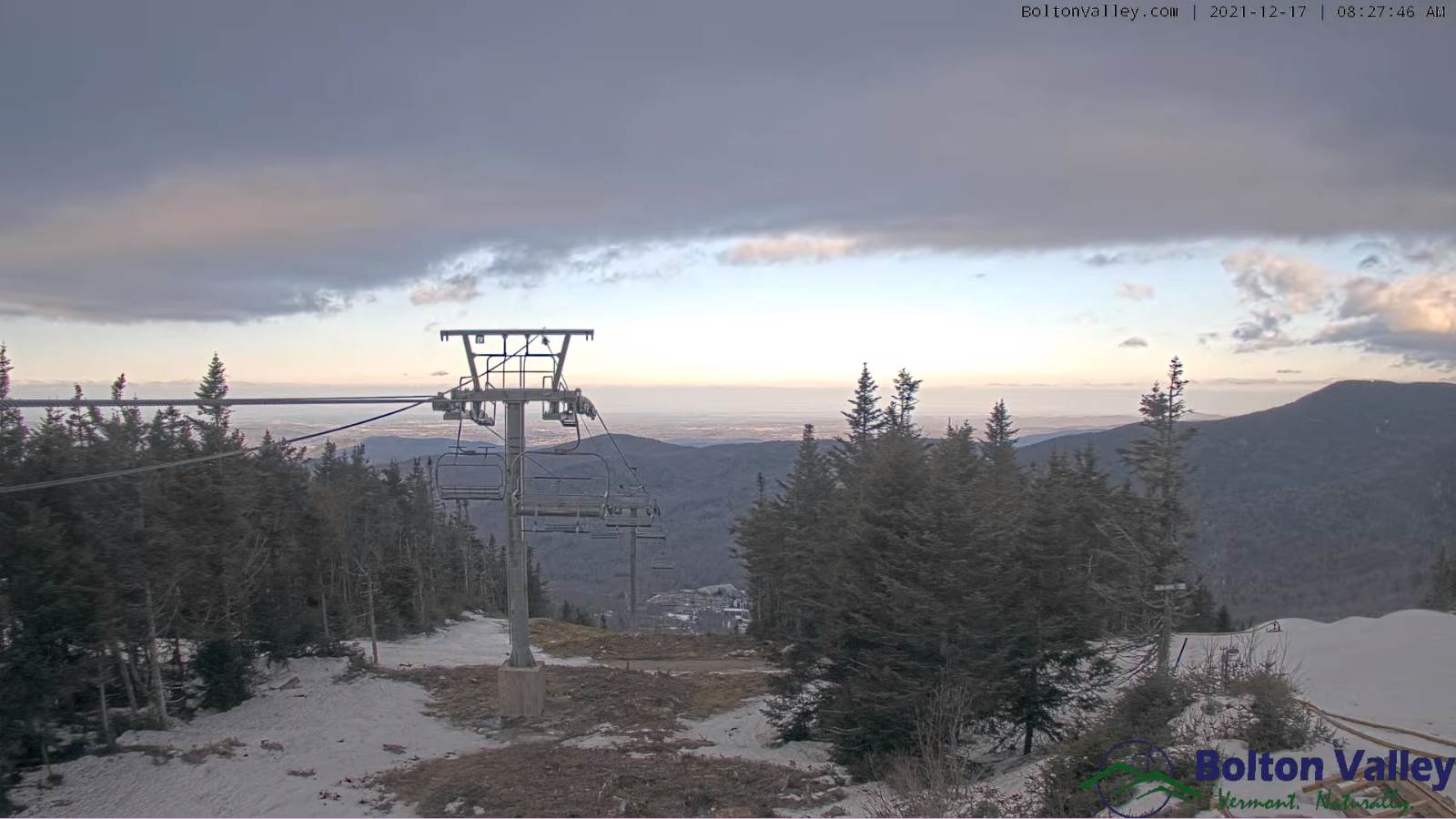
TODAY: Partly cloudy far northern areas, otherwise mostly sunny. Blustery to windy especially this morning. Temperatures gradually falling to around 40 later today. Westerly winds 10 to 25 mph with higher gusts early…gradually decreasing.
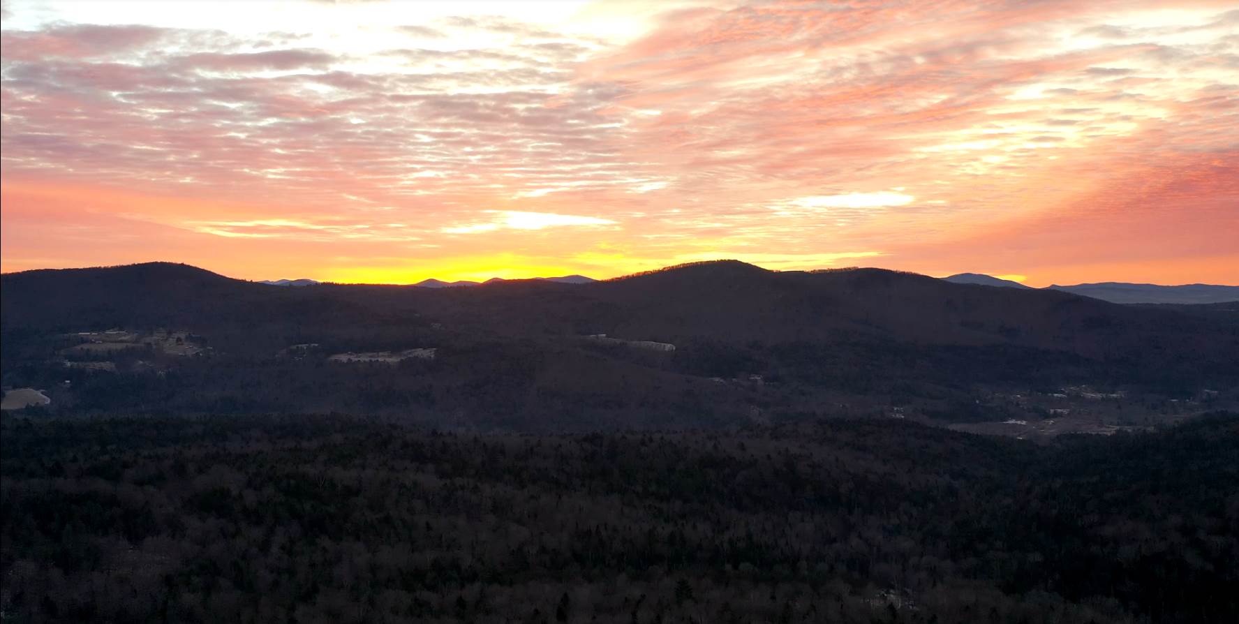
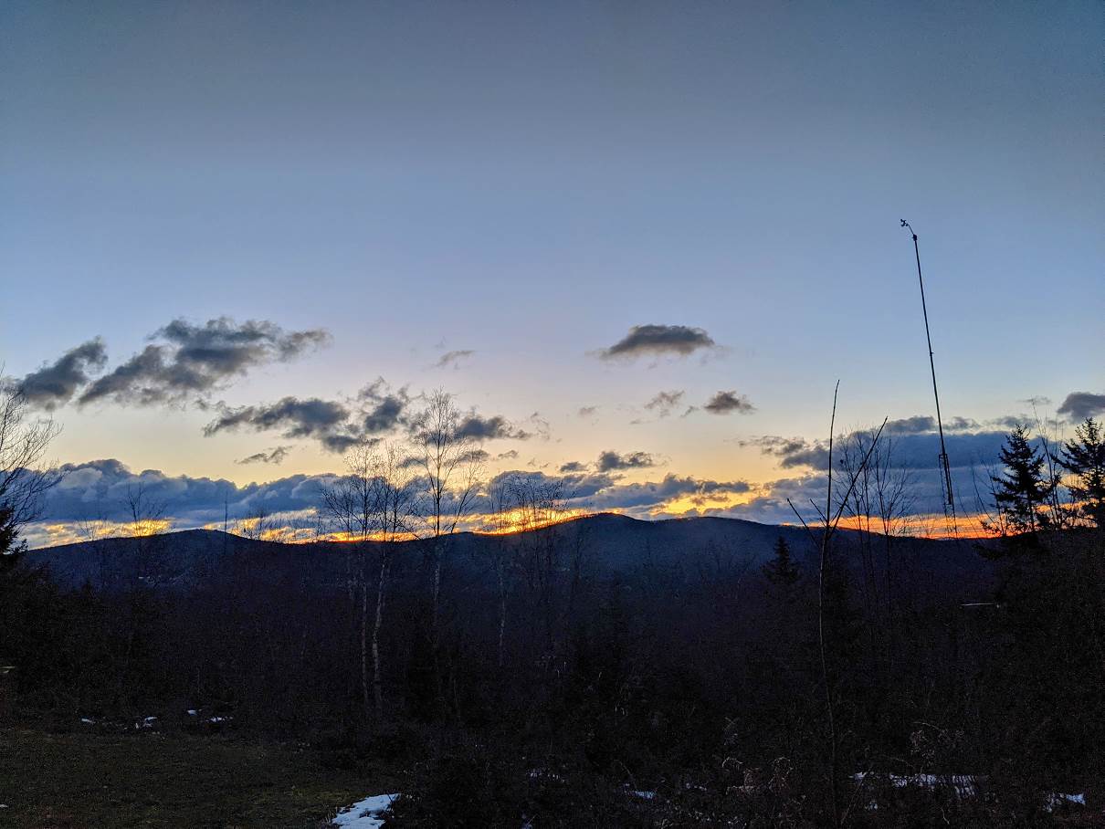
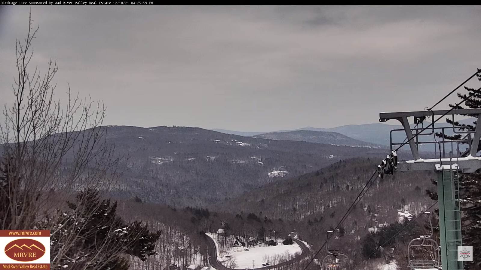
TONIGHT: Fair with increasing and thickening clouds. A low mid-20s to near 30. Northwest winds 10 mph.
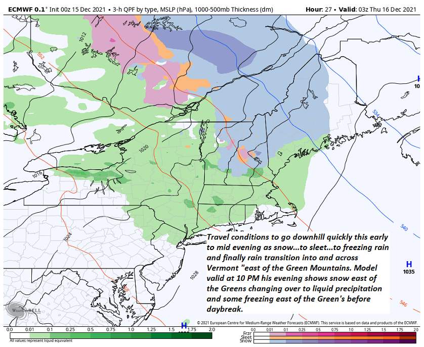
Winter Storm Watch Saturday afternoon into early Sunday morning…
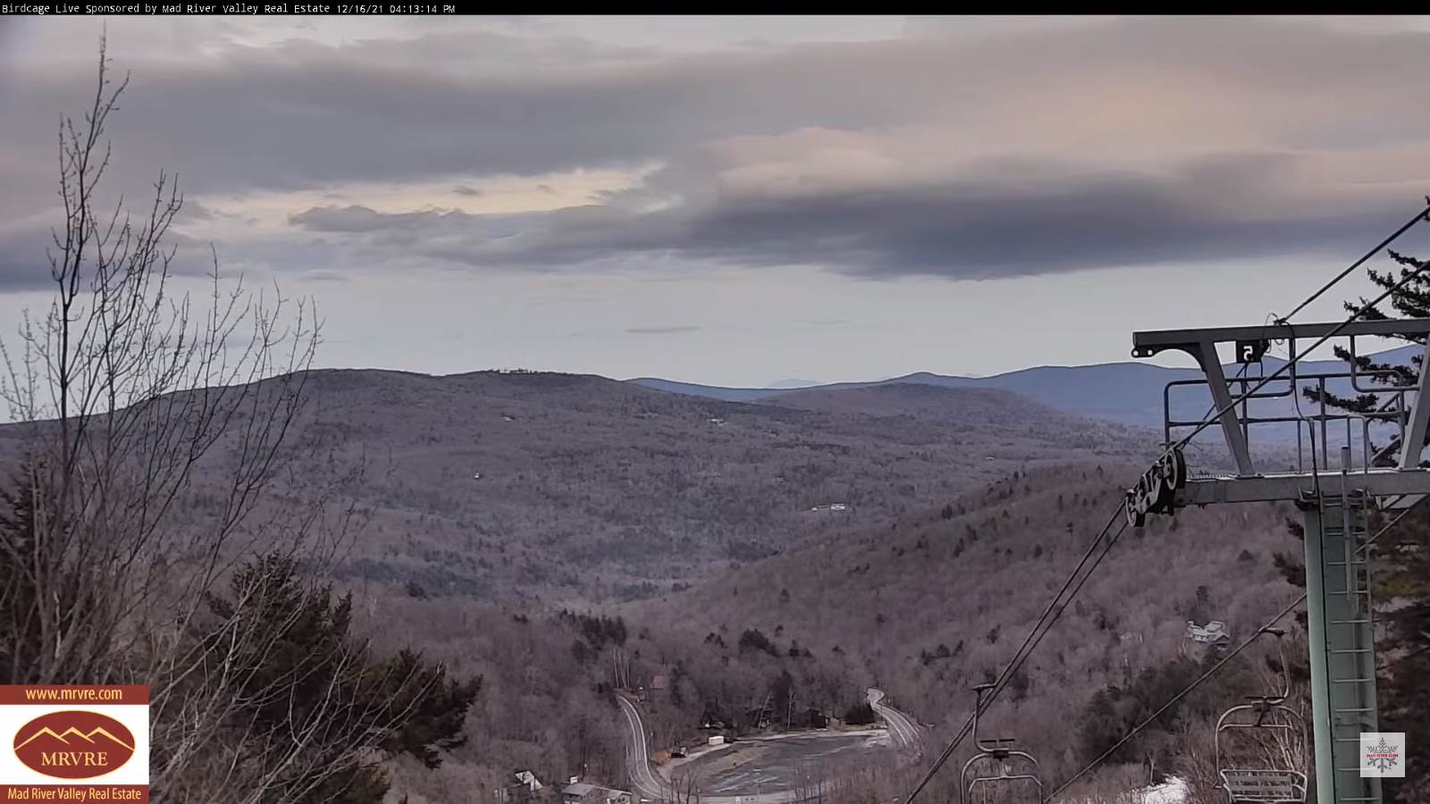
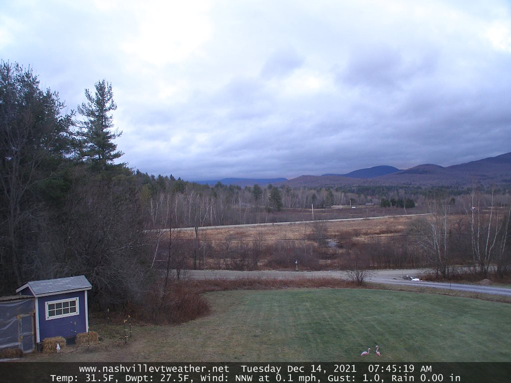
SATURDAY: Cloudy. Light accumulating snow develops in the afternoon. About dusting to 2” by dark. A high near 30. Light north to northeast winds.
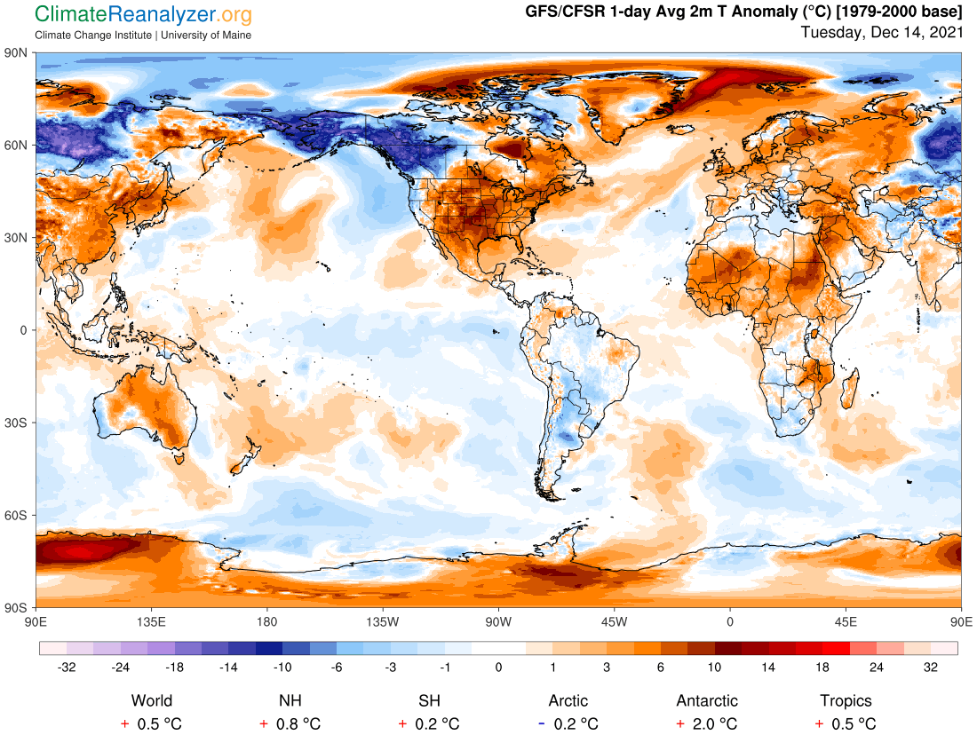
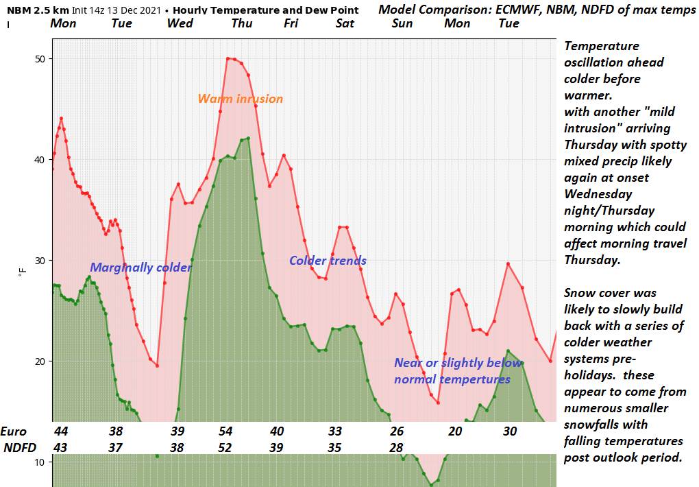
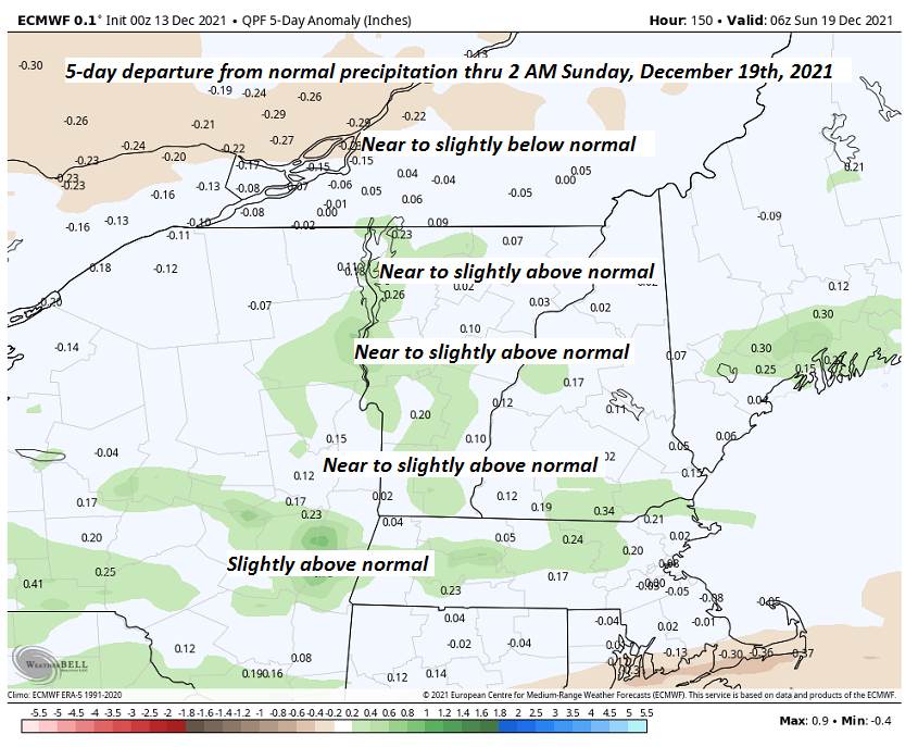
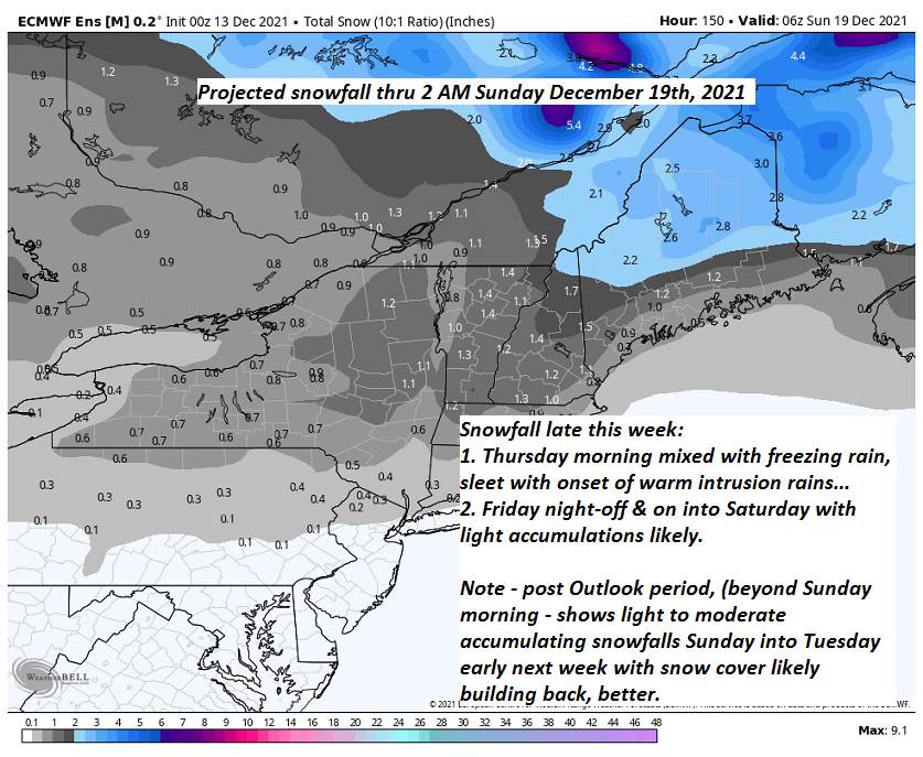
Looking further ahead…
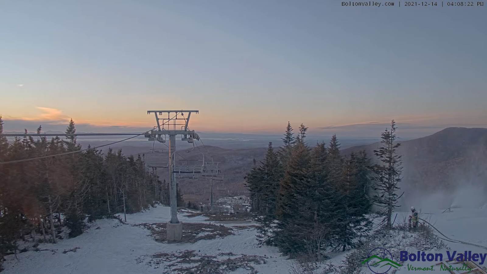
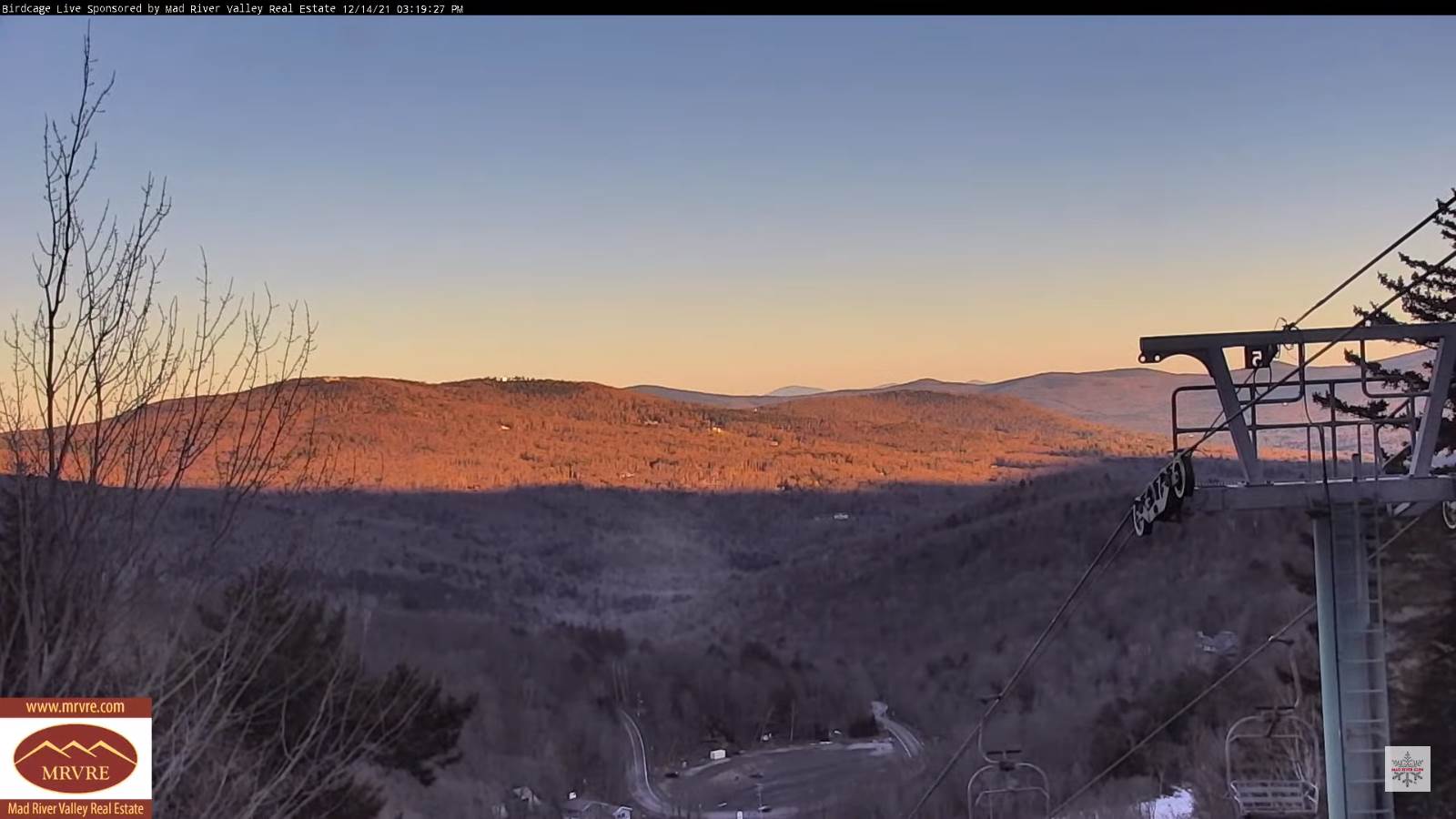
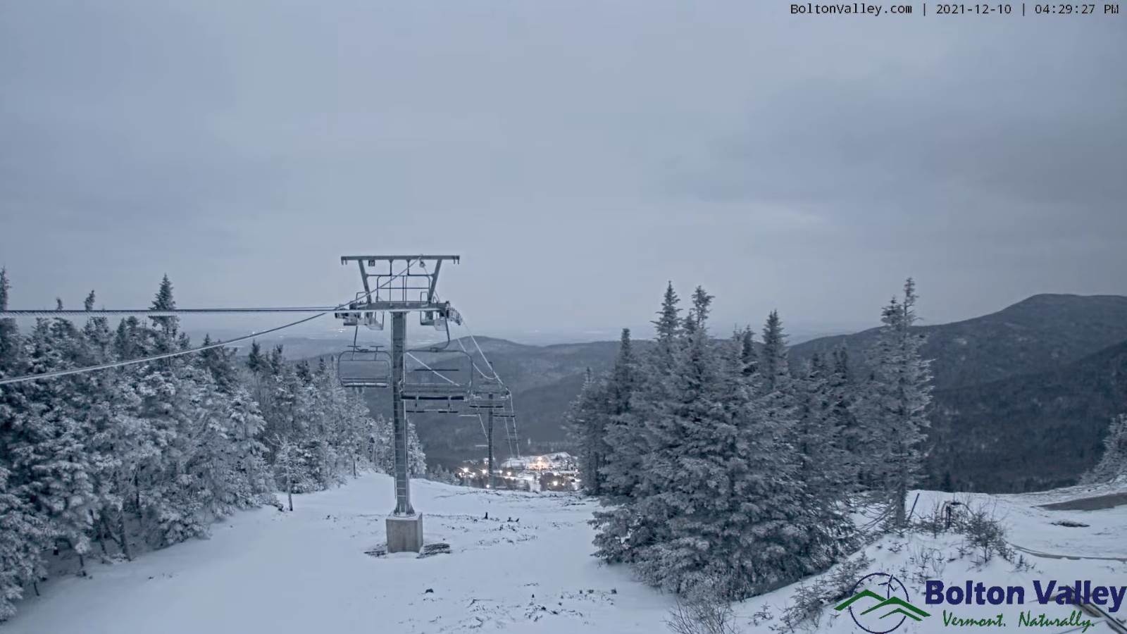
SATURDAY NIGHT: Overcast. Periods of snow…possibly moderate at times especially central and southern Green Mountains. Total accumulation 3 to locally 8 inches…most at the Ski Resorts. Temperatures holding in the mid to upper 20s.
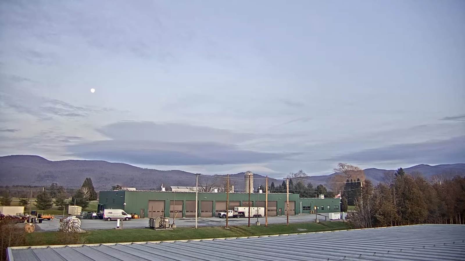
Full Cold Moon 11:36 PM
SUNDAY: A few leftover mountain snow showers or flurries early. Otherwise intervals of afternoon sun developing. A high in the upper 20s to near 30.
MONDAY: Lots of sun in the morning then more clouds in the afternoon. Cold. A lows in the single digits. A high in the low 20s.
Winter Solstice 10:58 AM
TUESDAY: Variable cloudiness. Scattered snow showers or flurries with minor accumulation. A low in the teens. A high around 32 degrees.
Average lows ranging thru the teens. Average highs 30 to 35.
Start of Met winter December 12th, Peaks January 23rd, End of Met. Winter March 9th
RH/12-164forecast][end]