TONIGHT: Mostly clear with some high cloudiness. A low in the mid teens to low 20s. Little wind.
TOMORROW: Filtered sunshine then thickening clouds. A high about 35 to 40. Southeasterly breeze 10 to 20 mph in the afternoon.
Winter Weather Advisory in effect from 4 PM Tuesday through 1 PM Wednesday Orange and Windsor counties
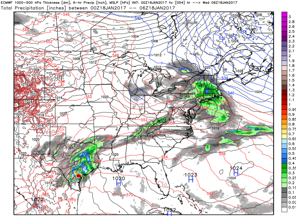
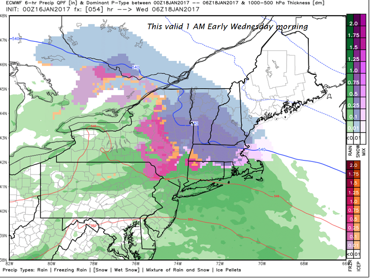
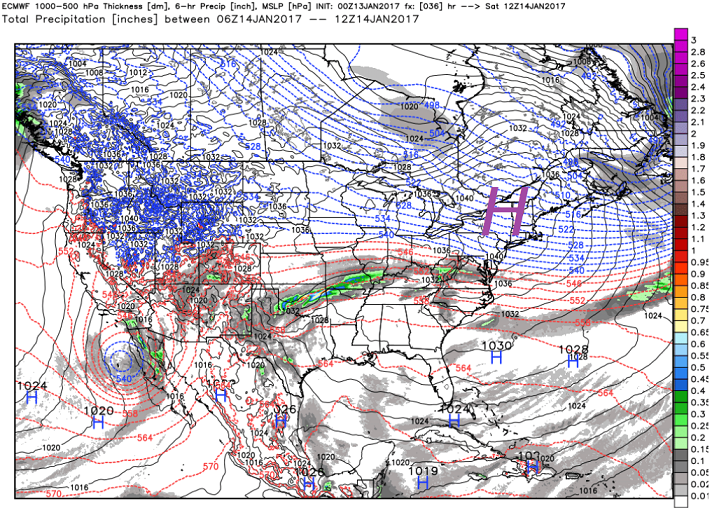
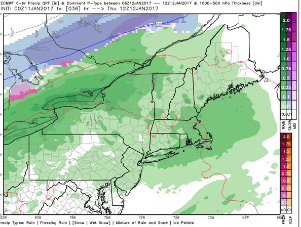
TUESDAY NIGHT: Snow likely developing Tuesday evening moderate at times. Accumulation of 3 to locally 6” with the most toward southern Vermont. A low in the mid 20s. Southeast breeze 10 to 15 mph.
WEDNESDAY: Mainly gray. Lingering snow showers exiting as leftover flurries in the afternoon. A high in the low to mid 30s. South winds 10 to 15 mph.
Looking Further ahead…
WEDNESDAY NIGHT: Occasional flurries. Little accumulation. A low in the mid 20s.
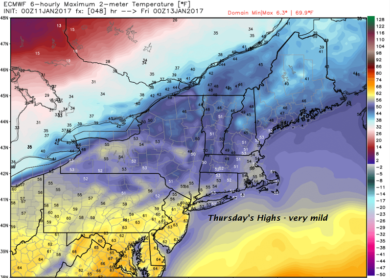
THURSDAY: Considerable cloudiness with scattered morning flurries exiting to a few breaks of sun in the afternoon. A high near 40.
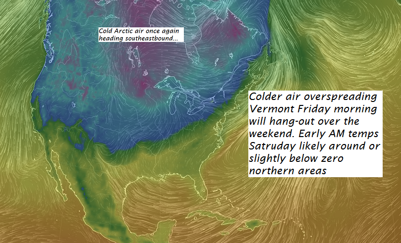
FRIDAY: Considerable high cloudiness, otherwise fair and dry. A low in the mid 20s. A high 35 to 40.
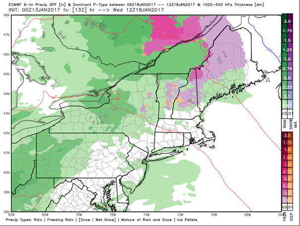
SATURDAY: Cloudy. Chance for a wintry mix with slick travel possible in the morning. A low around 30. A high around 40.
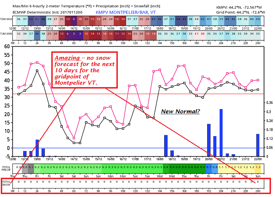
Average lows in the single digits. Normal highs in the 20s.
RH/1-16[end]