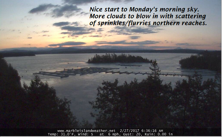
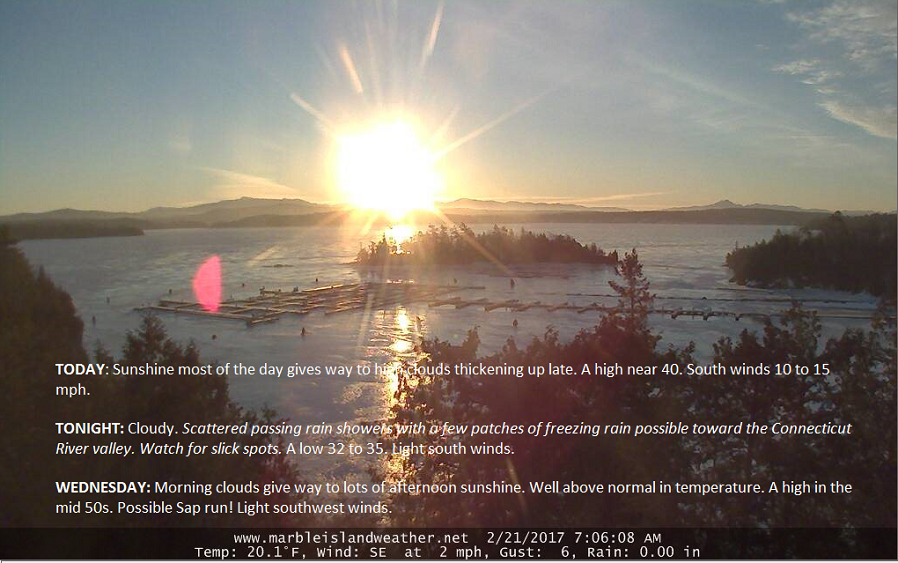
TONIGHT: Mostly clear this evening, then more clouds overnight. Chance for a few sprinkles mixed with wet snowflakes toward Rutland. A low in the mid 20s to low 30s. Light southwest winds.
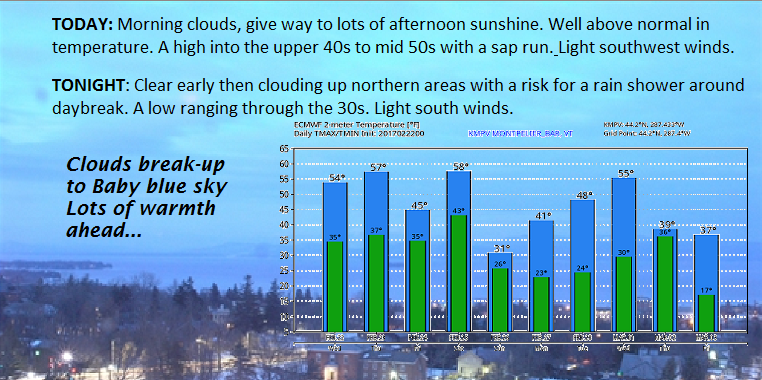
TOMORROW: High cloudiness filtering the sunshine into the early afternoon. Thickening clouds late with a chance for a rain shower. A high in the mid 40s to around 50. South breeze 10 to occasionally 20 mph.
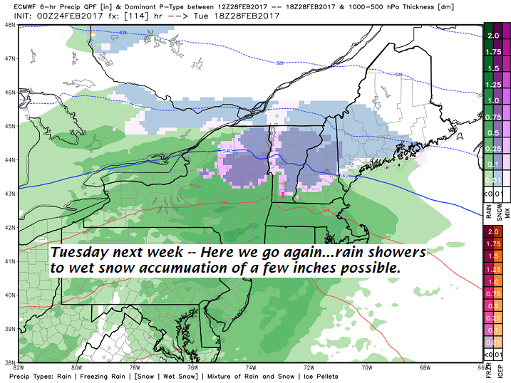
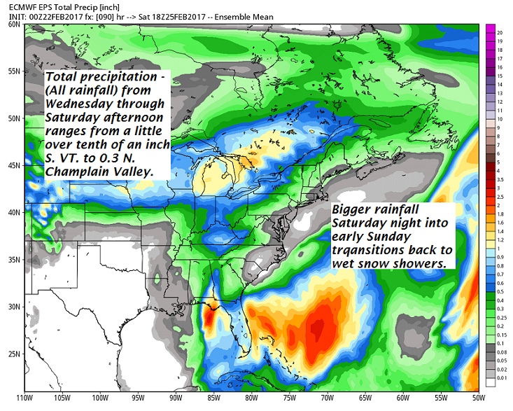
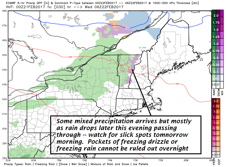
TUESDAY NIGHT: Cloudy. Scattered rain showers. A low in the upper 30s to low 40s. Southeast winds 10 to 15 mph across the hills.
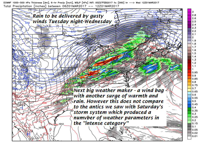
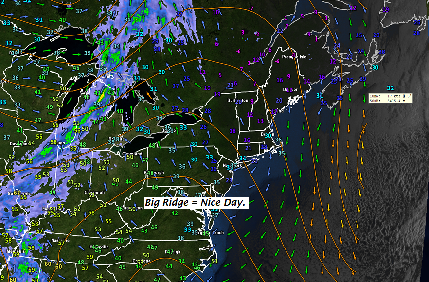
WEDNESDAY: Mainly cloudy and gray. Breezy to windy in the afternoon. Periods of light rain likely in the morning with scattered rain showers in the afternoon. Mild once again. A high around 60. South winds 10 to 20 mph.
Looking Further ahead…
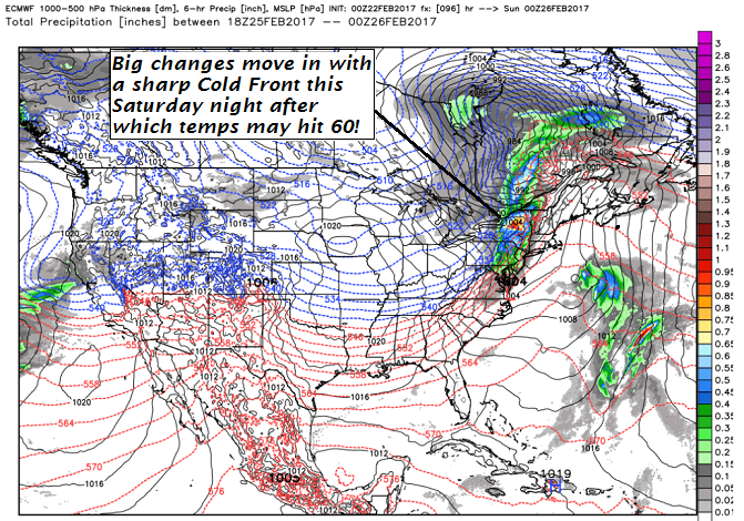
WEDNESDAY NIGHT: Showers of rain changes to minor accumulating snow. A low 25 to 30.
THURSDAY: Blustery and colder. Scattered accumulating snow showers exiting in the afternoon to intervals of sun late. A high in the low 30s.
FRIDAY: Mostly sunny but rather cold. A low in the teens. A high in the 20s.
SATURDAY: Sunshine giving way to high clouds. Cold. A low 5 to 15 above. A high in the 20s.
Average lows in the upper single digits to mid teens. Normal highs in the mid 30s.
RH/2-27[end]