
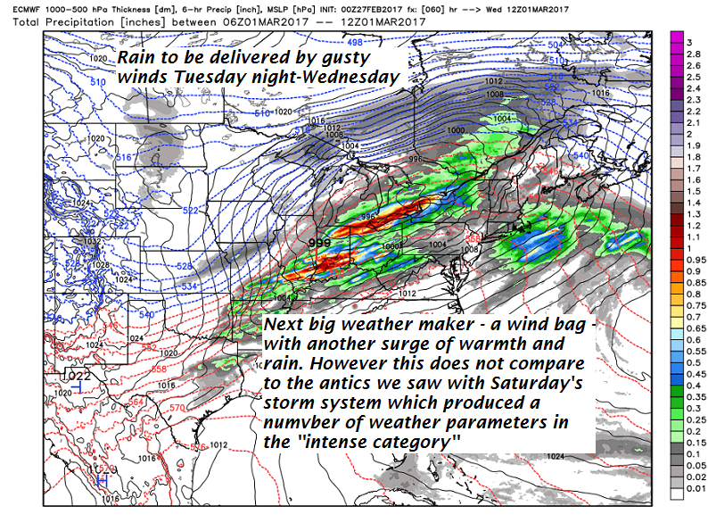
Winds to be rather brisk this week frequently reaching 40 mph or higher at the Green Mountain summits per the Euro modeling. Below more rain and warmth on the way for mid week…
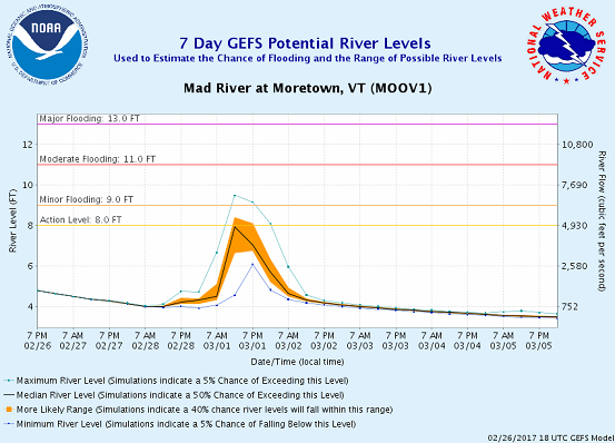
7 Day GEFS or GFS ensemble make for more river rises with next shot of warmth (more snow to melt) and rain fall. This example is the Mad Rover at Moretown…
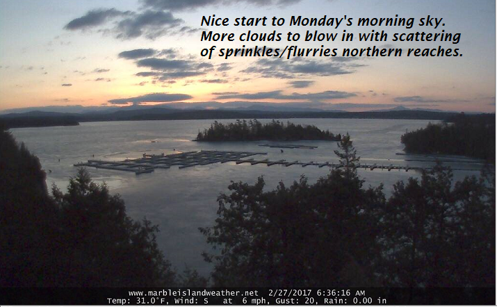
TODAY: Lots of morning sunshine giving way to more clouds this afternoon. Scattered light rain showers or flurries across northern areas this afternoon. A high in the mid 40s. Westerly winds 10 to 25 mph this afternoon.
TONIGHT: Mostly clear this evening, then more clouds overnight. Chance for a few sprinkles mixed with wet snowflakes toward Rutland. A low in the mid 20s to low 30s. Light southwest winds.
TUESDAY: Variable high cloudiness filtering the sunshine. A high 45 to 50. South breeze 10 to 15 mph.
Looking Further ahead…
TUESDAY NIGHT: Increasing clouds. A rising chance for rain showers developing after midnight. A low 35 to 40.
WEDNESDAY: Mainly cloudy and gray. Breezy to windy in the afternoon. Periods of light rain likely in the morning with scattered rain showers in the afternoon and very mild once again. A high in the low 60s.
THURSDAY: Blustery and colder. Good chance for light accumulating snow showers exiting in the afternoon to intervals of sun late. A low 25 to 30. A high in the 30s.
FRIDAY: Mostly sunny but rather cold. A low in the teens. A high in the 20s.
Average lows in the upper single digits to mid teens. Normal highs in the mid 30s.
RH/2-27[end]
