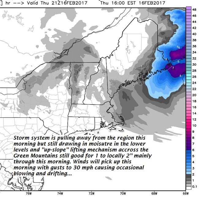
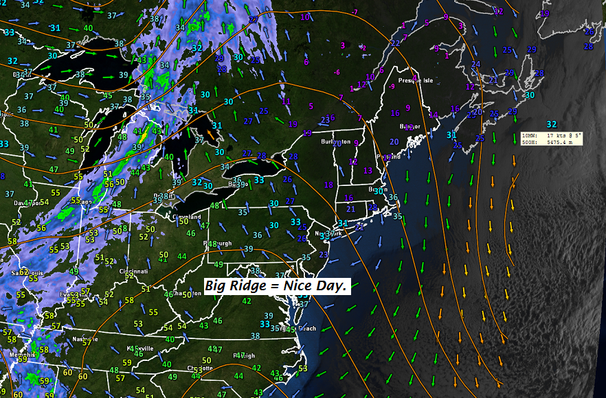
· Coldest Morning in what should be the next several days brings a gorgeous snowscape…
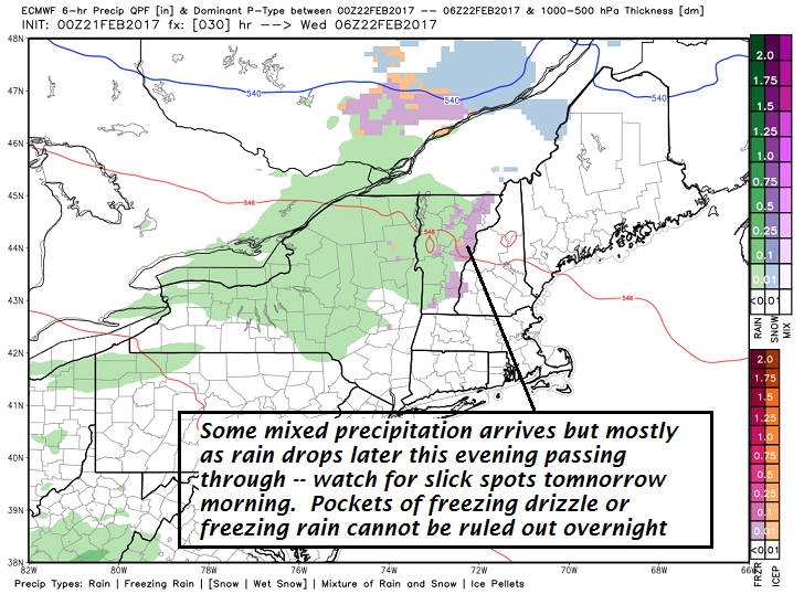
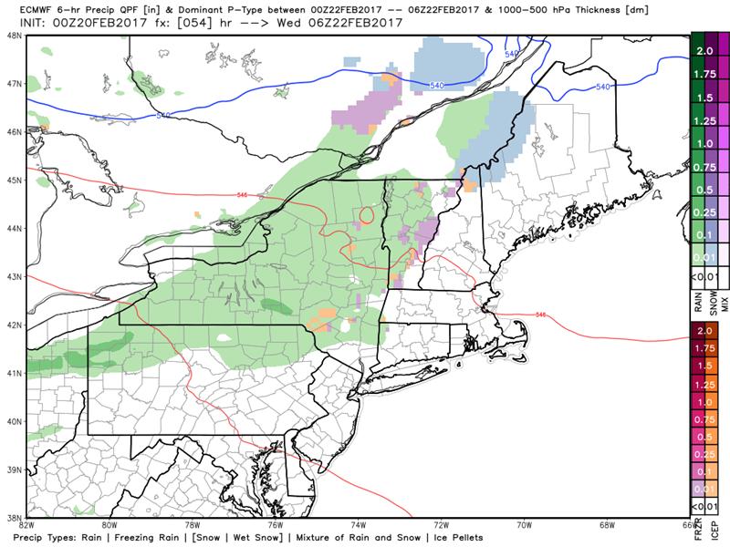
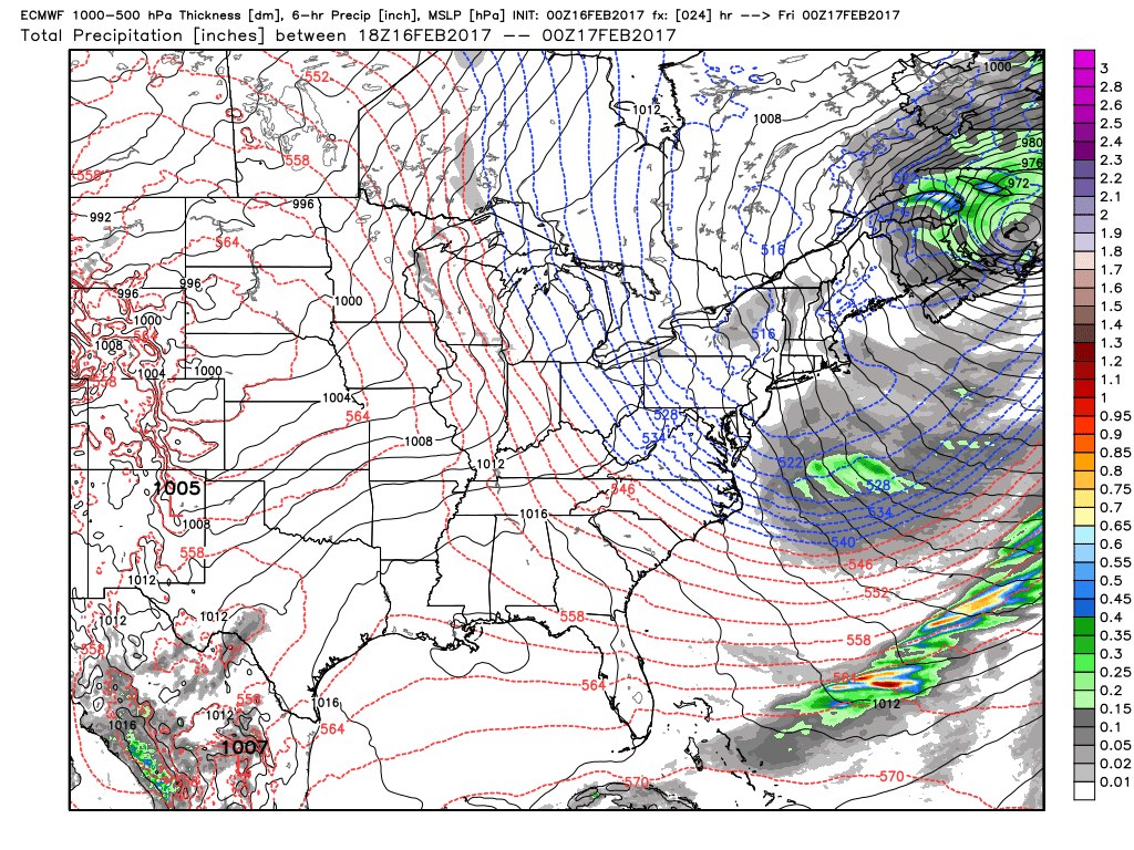
· Meanwhile inclement weather arrives later this evening and overnight with a shot of rain showers…some of it possibly freezing and affecting tomorrow morning commute with slippery spots – heads up …

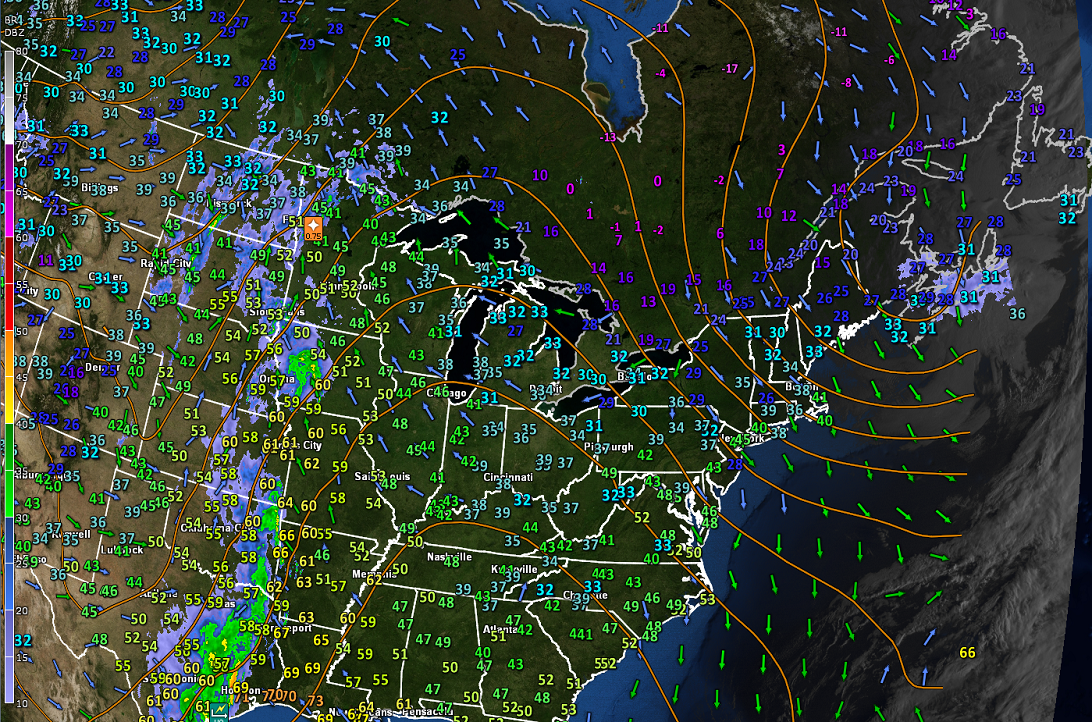
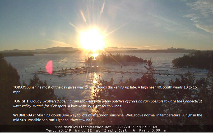
TODAY: Sunshine most of the day gives way to high clouds thickening up late. A high near 40. South winds 10 to 15 mph.
TONIGHT: Cloudy. Scattered passing rain showers with a few patches of freezing rain possible toward the Connecticut River valley. Watch for slick spots. A low 32 to 35. Light south winds.
WEDNESDAY: Morning clouds give way to lots of afternoon sunshine. Well above normal in temperature. A high in the mid 50s. Possible Sap run! Light southwest winds.
Looking Further ahead…
WEDNESDAY NIGHT: Clear early then partly cloudy. A low 30 to 35.
THURSDAY: Mixed clouds and sun. Scattered light rain showers especially toward the Champlain Valley. A high 55 to 60. Possible Sap run!
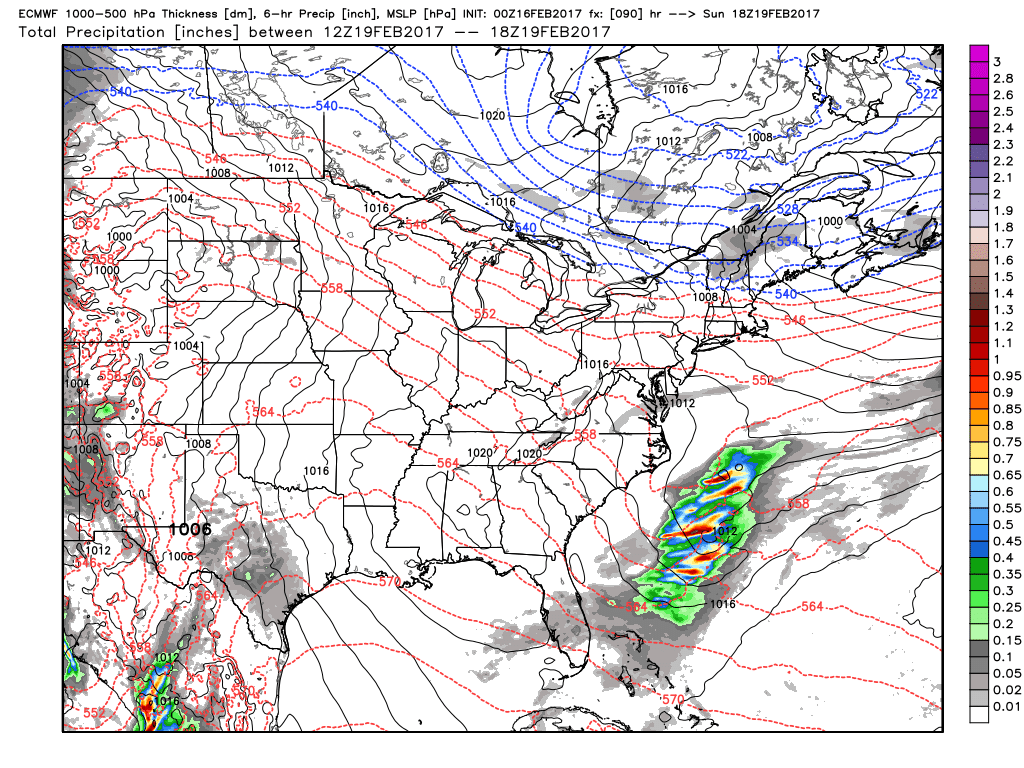
FRIDAY: Considerable cloudiness with a good chance for rain showers. A low around 30. A high in the 40s. Possible Sap run.
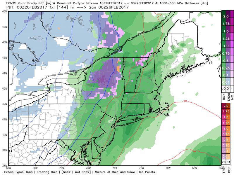
SATURDAY: Mainly gray. Areas of drizzle give way to a round of rain showers toward evening. Rain showers transition to a periods of wet snow in the higher terrain. A morning low 40 to 45. A high pushing toward 60 in the afternoon then sharply colder Saturday night.
SUNDAY: Chance for a morning snow shower or flurry, then mostly sunny in the afternoon, but blustery and colder. A low near 20. A high in the upper 20s to low 30s.
Average lows in the upper single digits to mid teens. Normal highs in the low 30s.
RH/2-21[end]