
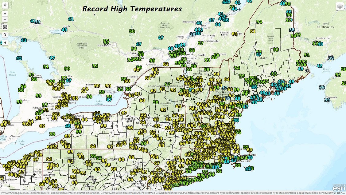
· Records were broken yesterday in the incredible warmth around the region.
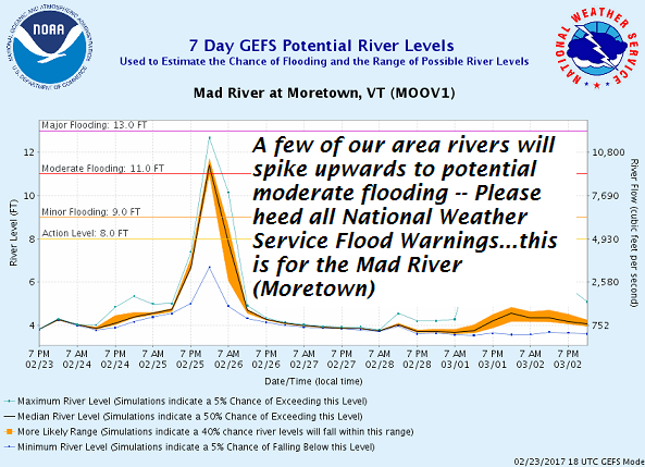
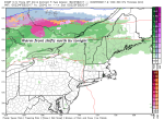
· Mad River Valley potential for moderate flooding Saturday with combined warmth and snow melt with incoming shot of rainfall heads up –
Now today we’ll see changes with incoming light rain showers as a warm front develops overhead and pushes through by later this evening. See below
-
- image00214
-
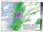
- image00314
-
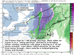
- image0052
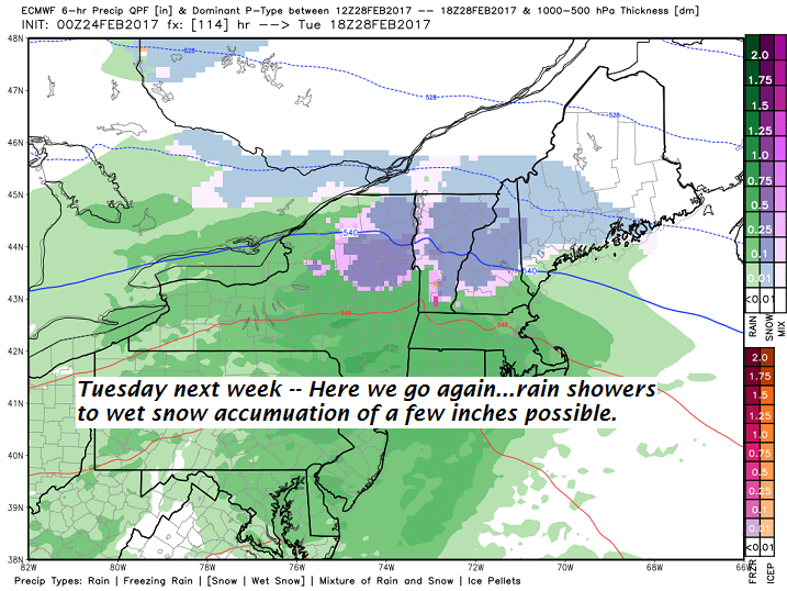
· Next week – On Tuesday we may see a smaller less potent version with more rain showers to wet snow accumulation.
TODAY: Periods of morning sun, then clouding up. Occasional light rain showers this afternoon. A high in the mid 40s to low 50s. Light northeast winds.
Flood Watch This Evening through Sunday Evening…
TONIGHT: Scattered rain showers exiting early this evening. Otherwise cloudy. A low in the upper 30s to mid 40s. Light southeast winds.
SATURDAY: Mainly cloudy, very mild and breezy. Patchy drizzle especially southern and eastern Vermont in the afternoon. A high in the low to mid 60s. Gusty southeast winds 10 to 25 mph.
Looking Further ahead…
SATURDAY NIGHT: Rain showers arrive in the evening briefly heavy, with a risk for a few rumbles of thunder. Rain showers transition to periods of wet snow with a dusting to locally 3 “ making for slippery travel higher terrain. Temperatures turning sharply colder falling into the mid 20s.Gusty west to northwest winds 10 to 25 mph.
SUNDAY: Blustery and much colder with scattered mountain flurries exiting to increasing amounts of sunshine. Very blustery and much colder. A high 30 to 35.
MONDAY: More clouds than sun with occasional light flurries or sprinkles. A low near 25. A high in the low 40s.
TUESDAY: Clouding up. Chance for rain showers transitioning to wet snow showers with possible accumulation of a few inches higher terrain. A low in the teens. A high in the mid to upper 30s.
WEDNESDAY: Cloudy and Gray. Chance for rain or snow showers. A low in the 20s. A high in the mid 30s.
Average lows in the upper single digits to mid teens. Normal highs in the low to mid 30s.
RH/2-24[end]
