
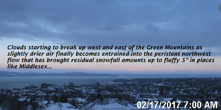
· Transitions to better weather occurrs this morning…
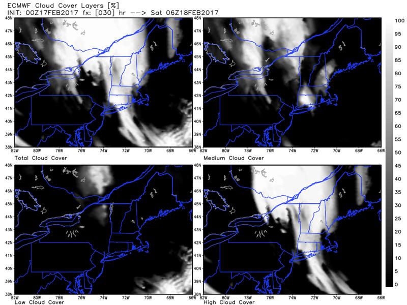
· Below shows mostly just high clouds for later tonight based off the Euro model which will overspread our region lingering through the day Saturday.
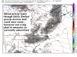
· Below Sunday not quite as nice weather-wise as temperatures look relatively warm but there could be a bit of wet snow shower and rain shower mix.
-
- image008
-
- image006
TODAY: Clouds with lingering flurries exiting around mid day, then increasing amounts of sun through the afternoon. Blustery. A high in the middle to upper 20s. Northwest winds 10 to 20 mph gradually diminishing.
TONIGHT: Mostly clear with some high clouds. A low 5 to 15 above. Light winds.
SATURDAY: Sunshine filtered at time by high clouds. Milder. A high near 45. Possible sap run. South to southwest breeze 10 mph.
Looking Further ahead…
SATURDAY NIGHT: Mostly clear in the evening then partly cloudy overnight. A low around 30.
SUNDAY: Mostly cloudy. Chance for a wet snow or rain shower across northern areas. Possible sap run. A high around 40.
MONDAY: Scattered morning snow showers and flurries exiting to increasing afternoon sun. A low in the 20s. A high 30 to 35.
TUESDAY: Sunshine becoming filtered by high clouds. A low in the single digits. A high 35 to 40.
WEDNESDAY: Mixed clouds and sun with a threat for showers or rain or wet snow. A low in upper 20s to around 30. A high in the 40s.
Average lows in the mid single digits to low teens. Normal highs in the upper 20s to low 30s.
RH/2-17[end]
