
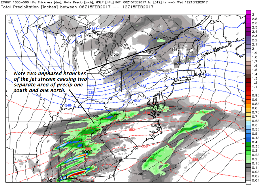
· Somewhat of an odd-ball storm but as the evolution and storm dynmic develops this storm system will begin to become a relatively big snowfmaker for portions of the Northeast Kingdom higher terrain back into North Central Vermont…
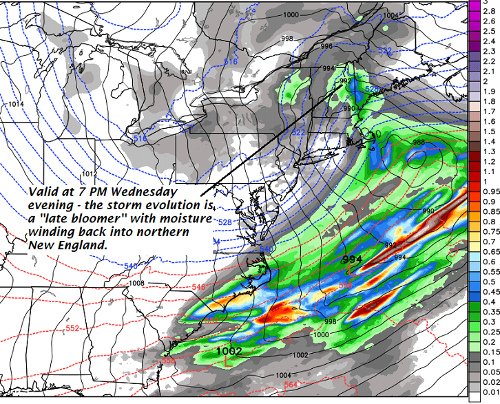
· Total snow accumulations to come in fits and starts.
· Moisture conveyor makes it west bound wrapping back into portions of the Northeast Kingdom and northern Vermont.
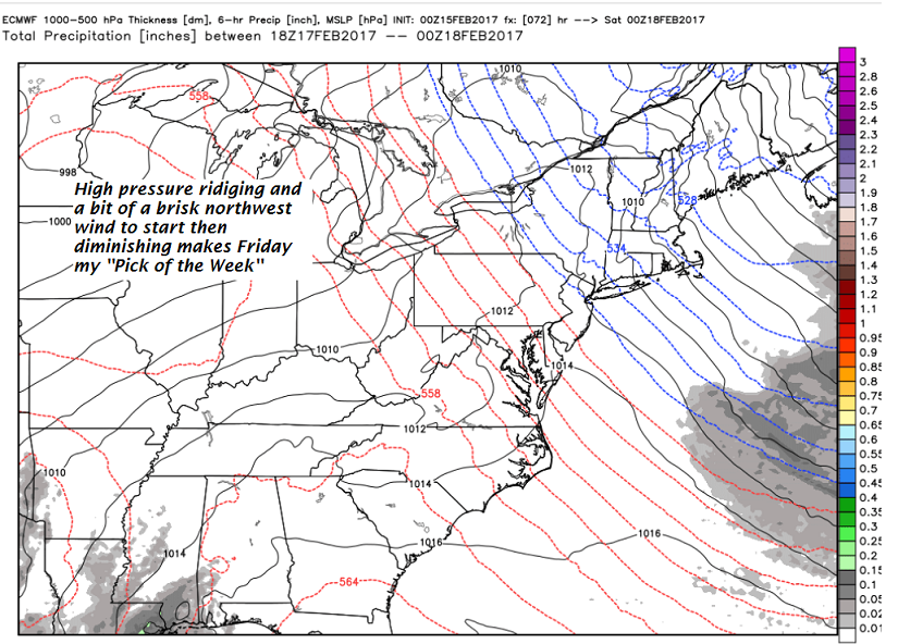
· Lots of snow to play with by Friday will be an “EPIC recreational opportunity” Enjoy sunshine and beauty attached to a week with warming temperatures and great Sugaring conditions likely on the way!
Winter Storm Warnings – North Central and NE Kingdom with Winter Weather Advisory elsewhere…through Thursday…
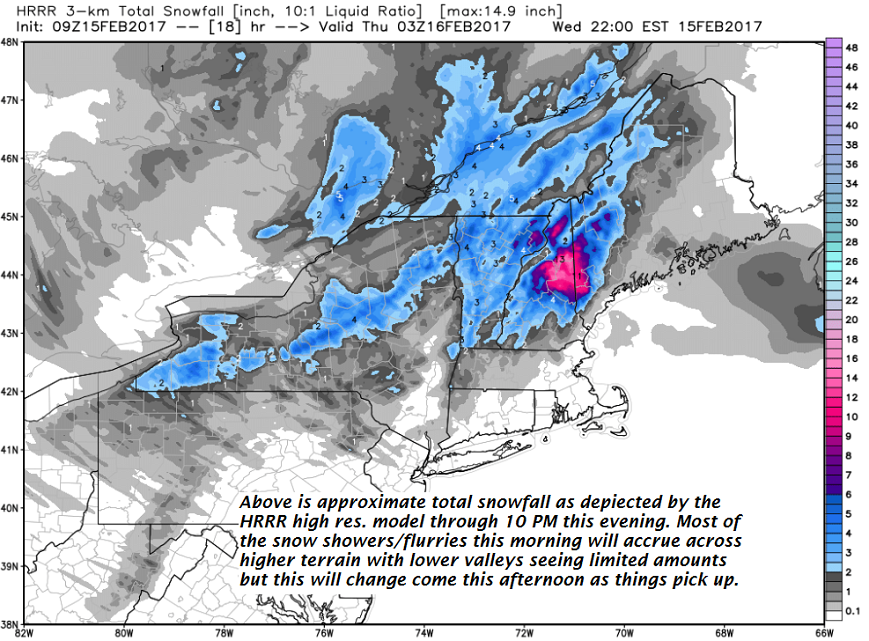
TODAY Periods of light accumulating snow showers picking up this afternoon with 1 to locally 4 ” with the most Northeast Kingdom. A high near 35. Southeast winds 10 to 15 mph.
TONIGHT: Periods of snow. Accumulation 3 to 9” with the most toward Northeast Kingdom. A low 20 to 25. Light northwest winds.
THURSDAY: Scattered leftover snow showers or flurries winding down in the afternoon. A high in the mid to upper 20s. Northwest winds 10 to 25 mph with higher gusts with blowing and drifting.
Looking Further ahead…
THURSDAY NIGHT: Partly to mostly cloudy with a chance for a few leftover flurries. A low 10 to 15.
FRIDAY: Pick of the week – Morning clouds then mostly sunny. A high in the low to mid 20s. Northwest winds 10 to 20 mph gradually diminishing.
SATURDAY: Fair and a little milder with variable high clouds. A low in the single digits. A high upper 30s to low 40s.
SUNDAY: Lots of sunshine and milder. Possible sap run. A low in the upper 20s. A high in the 40s.
Average lows in the mid single digits to low teens. Normal highs in the upper 20s to low 30s.
RH/2-15[end]
