Updated Monday Morning Forecast — April 13th, 2020

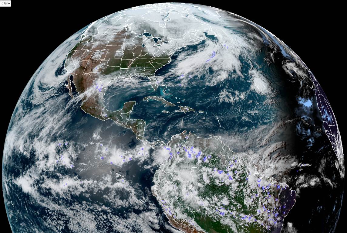
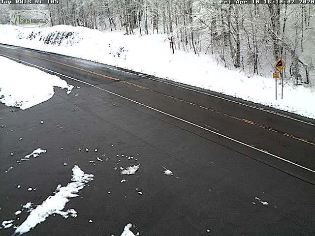
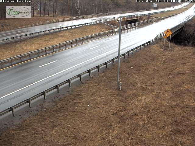
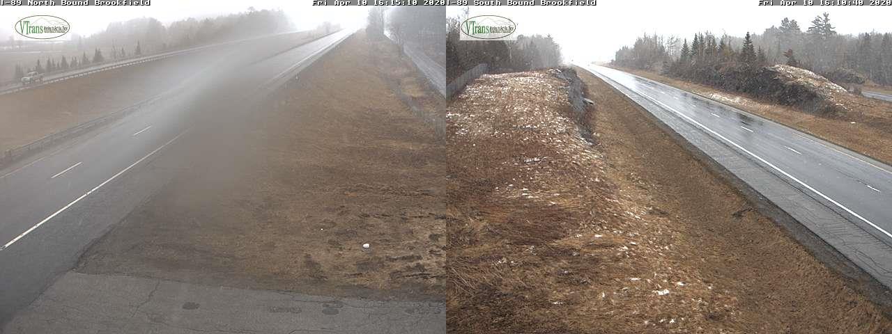
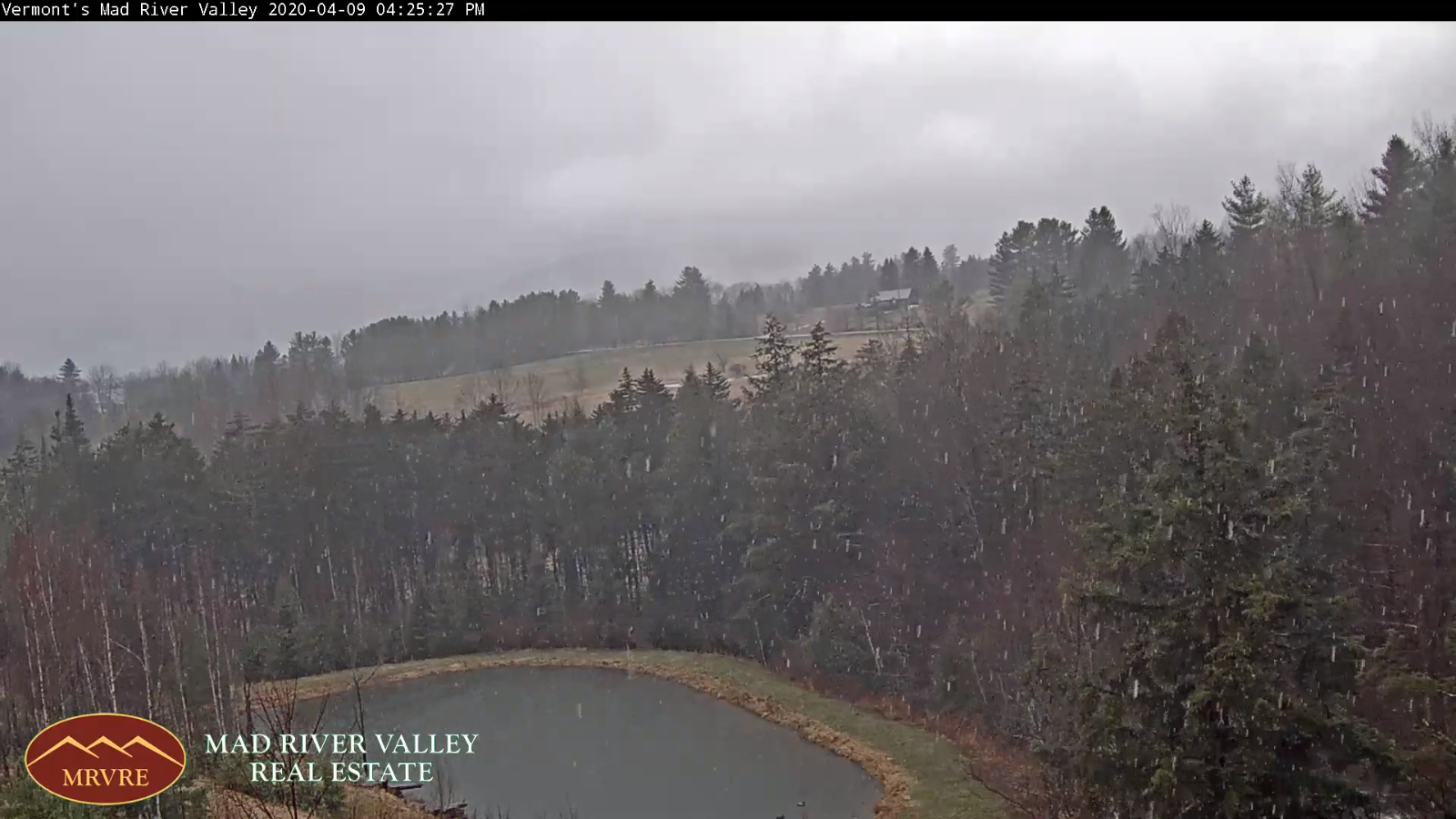
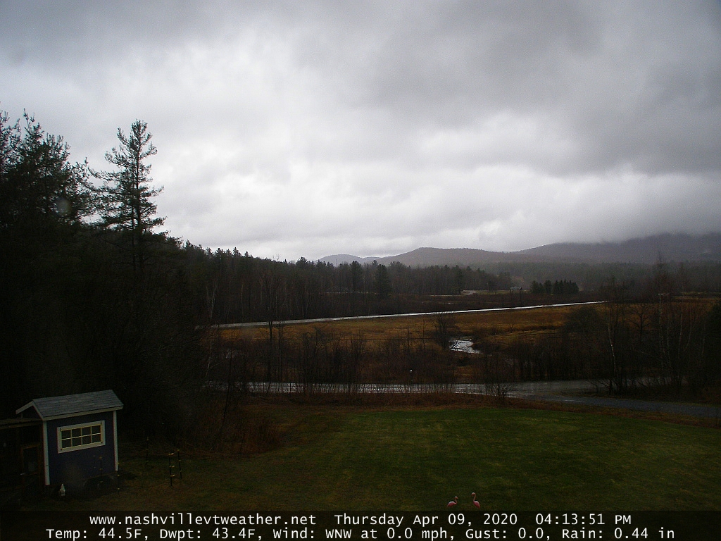
TODAY: Gray but mild. Periods of rain moderate at times. Becoming breezy to windy especially later this afternoon. A high in the mid to upper 50s. South to southeasterly winds pick up 10 to 20 mph stronger in the late afternoon with gusts over 40 mph.

TONIGHT: Periods of rain or showers and blustery to windy at times through most of this evening. Showers exit around midnight. Otherwise partial clearing develops overnight. A low mid to upper 30s. Southwest to westerly wind 10 to 25 mph with gusts over 40 mph for time this evening.

TUESDAY: Partly sunny. A high around 45. Blustery westerly wind 10 to 25 mph at times.

Looking further ahead…

TUESDAY NIGHT: Partly cloudy to mostly clear. A low upper 20s to around 30.

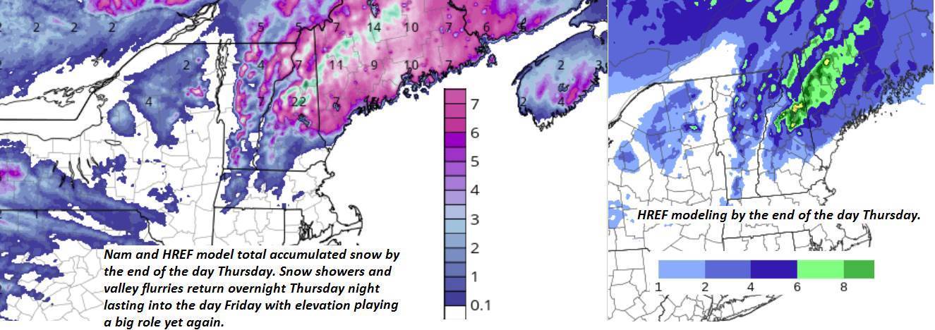
WEDNESDAY: Mixed clouds and intervals of sunshine.Scattered mountain snow showers mixed with rain valley floors.A high around in the low 40s.

THURSDAY: Morning sun gives way to cloudy periods in the afternoon. Maybe a stray flurry.A low 25 to 30. A high around 40.

FRIDAY: Partly sunny. Isolated mountain flurries or sprinkles. A low upper 20s to around 30. A high in the mid-40s.

Average lows ranging upper 20s to mid-30s, average highs 50 to 55.

RH/4-13[end]

Updated Friday Evening Forecast — April 10th, 2020

TONIGHT: Occasional snow showers thru mid-evening tapering to scattered flurries. A dusting to locally 2” most near the northern Green Mountains. Otherwise partly to mostly cloudy. A low 25 to 30. Northwest winds 10 to 15 mph.

TOMORROW: A few morning flurries northern mountains, otherwise clouds give way to breaks of late day sunshine. Below normal in temperature. A high around 35. Northwest winds 10 to 20 mph.

SATURDAY NIGHT: Evening clouds then mostly clear. A low in the mid-20s. Light south winds.

EASTER SUNDAY: Partly sunny in the morning with few cloudy periods in the afternoon. A high around 55. Southwest breeze 10 to 15 mph.

Looking further ahead…

SUNDAY NIGHT: Thickening clouds. Periods of light rain likely toward daybreak. A low 30 to 35.

MONDAY: Milder but lots of clouds. Periods of rain likely…moderate at times. Breezy to windy. A high 55 to 60.

TUESDAY: Partly to mostly sunny. A low 35 to 40 A high in the 40s.

WEDNESDAY: Partly sunny northern areas more cloudiness south.A low upper 20s. A high around 45.

Average lows ranging upper 20s to mid 30s, average highs 50 to 55.

RH/4-10[end]

Updated Friday Morning Forecast — April 10th, 2020

Winter Storm Warning Essex County…Winter Weather Advisory Northeast Vermont into this evening…

TODAY: Overcast. Frequent mountain snow showers and valley flurries becoming widely scattered late. Accumulation dusting to locally 4” most western slopes of the northern Green’s. A high mid to upper 30s. Northwest winds 10 to 25 mph.

TONIGHT: Occasional evening flurries become isolated overnight with minor additional accumulation. Otherwise partly to mostly cloudy. A low 25 to 30. Northwest winds 10 mph.

SATURDAY: Clouds with a few breaks of sun. A stray northern mountain flurry. Below normal in temperature. A high 35 to 40. Northwest winds 10 to 20 mph.

Looking further ahead…

SATURDAY NIGHT: Becoming mostly clear. A low in the mid-20s.

EASTER SUNDAY: Periods of morning sunshine mixing with more clouds. A high around 50.

MONDAY: Overcast but milder. Periods of rain likely…moderate at times. Breezy to windy. A low 35 to 40. A high 55 to 60.

TUESDAY: Mixed clouds and sun. A low 35 to 40 A high in the 40s.

Average lows ranging upper 20s to mid 30s, average highs 50 to 55.

RH/4-10[end]

Updated Thursday Evening Forecast — April 9th, 2020

Winter Storm Warning Essex County…Winter Weather Advisory Northeast Kingdom thru Friday evening…

TONIGHT Accumulating wet snow northern areas. A dusting to 2” valleys, with locally more Northeast Kingdom high terrain…tapering off to a few flurries overnight.Becoming partly to mostly cloudy.A low around 32. West to northwesterly wind 10 to 20 mph

TOMORROW: Overcast. Frequent snow showers becoming widely scattered late. Accumulation dusting to 3” most western slopes of the northern Green’s. A high mid to upper 30s. Northwest winds 10 to 25 mph.

FRIDAY NIGHT: A few evening flurries exiting. Otherwise partly to mostly cloudy. A low 25 to 30. Northwest winds 10 mph.

SATURDAY: Clouds with a few breaks of sun. A stray northern mountain flurry. Below normal in temperature. A high mid to upper 30s. Northwest winds 10 to 20 mph.

Looking further ahead…

SATURDAY NIGHT: Becoming mostly clear. A low in the mid-20s.

EASTER SUNDAY: Periods of morning sunshine mixing with more clouds. Maybe a sprinkle southern areas. A high 45 to 50.

MONDAY: Overcast but milder. Good chance for rain…moderate at times. Breezy to windy. A low 35 to 40. A high 55 to 60.

TUESDAY: Mixed clouds and sun. Slight chance for a rain or snow shower Champlain Valley. A low 35 to 40 A high in the 40s.

Average lows ranging mid-20s to low 30s, average highs upper 40s to mid-50s.

RH/4-87[end]

Updated Thursday Morning Forecast — April 9th, 2020

Winter Storm warning Essex county…Winter Weather Advisory Northeast Kingdom Thursday afternoon thru Friday evening…

TODAY: Gray. Periods of rain arriving around 9 to 11 AM…moderate at times…mixing with wet snow higher terrain NE Kingdom up to a couple of inches. Blustery especially late. A high near 45. Southeast winds 10 to 15 mph shifting to westerly at 10 to 25 mph late.

TONIGHT: Bursts of accumulating wet snow northern areas. Occasional light snow showers and flurries southern Vt. Variable snow accumulation with dusting to 3” valleys, 3 to locally 6” northern high terrain. A low 30 to 32. West to northwesterly wind 10 to 25 mph

FRIDAY: Mostly cloudy. Frequent snow showers moderate at times. Accumulation dusting to locally 3” with the most near the western slopes of the northern Green Mountains. Chilly with a high around 35. Blustery northwest winds 10 to 25 mph with higher gusts.

Looking further ahead…

FRIDAY NIGHT: A few evening flurries exiting. Otherwise partly to mostly cloudy. A low 25 to 30.

SATURDAY: Clouds with a few breaks of sun & rather chilly. A high mid to upper 30s.

EASTER SUNDAY: Periods of morning sunshine gives way to lots of afternoon clouds. Chilly start. A low upper teens to mid-20s. A high near 45.

MONDAY: Overcast but mild. Chance for rain. Breezy to windy. A low 35 to 40. A high around 55.

Average lows ranging mid-20s to low 30s, average highs upper 40s to mid-50s.

RH/4-87[end]

Updated Wednesday Evening Forecast — April 8th, 2020

TONIGHT: Overcast. A low 30 to 35. Light southeast winds.

Winter Storm Watch Northeast Kingdom Thursday afternoon thru Friday evening…

TOMORROW: Gray. Periods of rain arriving mid-morning moderate at times in the afternoon. Rain mixing with wet snow before dark with snow coated higher terrain. Blustery at times. A high upper 30s to mid-40s. Southeast winds 10 to 20 mph shifting to westerly late

THURSDAY NIGHT: Accumulating wet snow northern areas with scattered snow showers central and southern Vermont. Highly variable snow accumulation with dusting to 4” valleys and greater than ½ foot northern high terrain. A low 30 to 35. West to northwesterly wind 10 to 25 mph

FRIDAY: Mostly cloudy. Frequent snow showers moderate at times. Accumulation 1 to locally 3” down to valley floors. Below normal temps with a high in the mid-30s. Blustery northwest winds 10 to 25 mph with higher gusts.

Looking further ahead…

FRIDAY NIGHT: Scattered evening flurries early then exiting, otherwise partly to mostly cloudy. A low mid to upper 20s.

SATURDAY: Clouds with a few breaks of sun & rather chilly. A high just 35 to 40.

EASTER SUNDAY: Periods of morning sunshine gives way to lots of afternoon clouds. A low in the 20s. A high rebounding into the low 50s.

MONDAY: Overcast but mild. Chance for rain. Breezy to windy. A low in the mid to upper 30s. A high in the 50s.

Average lows ranging mid-20s to low 30s, average highs upper 40s to mid-50s.

RH/4-87[end]

Updated Wednesday Morning Forecast — April 8th, 2020

TODAY: Sun mixed with afternoon clouds northern areas. Clouds with any leftover rain showers exiting this morning far south. A high 50 to 55 northern areas a little cooler south. Northwest winds 10 mph.

TONIGHT: Overcast. A low in the upper 20s to mid-30s. Light southeast winds.

THURSDAY: Gray. Periods of rain mixed with wet snow above 1200 ft. arriving mid-morning. A couple quick inches elevated terrain. Some partial clearing late and turning blustery. A high upper 30s to mid-40s. Southeast winds 10 to 20 mph.

Looking further ahead…

THURSDAY NIGHT: Cloudy. A few leftover snow showers or flurries with minor accumulation. A low 30 to 35.

FRIDAY: Mostly cloudy. Frequent snow showers and flurries. Accumulation 1 to locally 3” down to valley floors. Below normal temps with a high in the mid-30s. Blustery northwest winds.

SATURDAY: Isolated mountain flurries early. Otherwise considerable cloudiness. A low upper 20s to mid-30s. A high 35 to 40.

EASTER SUNDAY: Periods of morning sunshine gives way to lots of afternoon clouds. A low in the 20s. A high rebounding into the low 50s.

MONDAY: Overcast but mild. Chance for rain. Breezy to windy. A low in the mid to upper 30s. A high in the 50s.

Average lows ranging mid-20s to low 30s, average highs upper 40s to mid-50s.

RH/4-87[end]

Updated Tuesday Evening Forecast — April 7th, 2020

Full Pink Moon 10:35 PM this evening…

TONIGHT: Fair early, then thickening clouds. Light mixture of snow and rain develops after midnight toward Rutland. A low 30 to 35. Light northeast winds.

TOMORROW: Scattered light snow & rain showers southern Vermont exiting mid-morning. Little accumulation. Sun mixed with afternoon clouds northern areas. A high 50 to 55 northern areas a little colder south. Northwest winds 10 mph.

WEDNESDAY NIGHT: Lots of clouds. A low in the upper 20s to mid-30s. Light southeast winds.

THURSDAY: Gray. Periods of rain mixed with wet snow above 1200 ft. arriving mid-morning. A couple quick inches elevated terrain. Some partial clearing late and turning blustery. A high upper 30s to mid-40s. Southeast winds 10 to 20 mph.

Looking further ahead…

THURSDAY NIGHT: Mostly cloudy. A few leftover snow showers or flurries with light accumulation elevated terrain. A low 30 to 35.

FRIDAY: Mostly cloudy. Scattered snow showers and flurries. Some minor accumulation down to valley floors. Below normal in temperatures with a high around 35. Blustery northwest winds.

SATURDAY: Isolated mountain flurries early. Otherwise lots of morning clouds with intervals of late afternoon sunshine. A low upper 20s to mid-30s. A high 35 to 40.

SUNDAY: Variable high cloudiness with periods of sunshine. A low in the 20s. A high rebounding into the low 50s.

Average lows ranging mid-20s to low 30s, average highs upper 40s to mid-50s.

RH/4-7[end]

Updated Tuesday Morning Forecast — April 7th, 2020

TODAY: Pick of the week. Morning sun, then few more clouds mixing in. A high 50 to 55. West to northwest winds 10 to 15 mph.

Full Pink Moon 10:35 PM this evening…

TONIGHT: Increasing clouds. Scattered light snow showers mixed with rain south of the Barre-Montpelier area late overnight. A low 30 to 35. Little wind.

WEDNESDAY: Mainly gray. Light mixture of snow and rain early before exiting. Minor accumulation elevated terrain. Breaks of afternoon sun northern areas. A high 50 to 55 northern areas a little colder south. Northwest winds 10 mph.

Looking further ahead…

WEDNESDAY NIGHT: Lots of clouds. A low in the upper 20s to mid-30s

THURSDAY: Gray. Good chance for periods of light rain mixed with wet snow above 1500 ft. developing mid to late morning but exiting late. Up to a couple inches mountain summits. Some partial clearing late and turning blustery. A high upper 30s to mid-40s.

FRIDAY: Mostly cloudy. Scattered snow showers and flurries. Some minor accumulation down to valley floors. A low 30 to 35. Below normal in temperatures with a high around 35. Blustery northwest winds.

SATURDAY: Isolated mountain flurries early. Otherwise lots of morning clouds with intervals of late afternoon sunshine. A low upper 20s to mid-30s. A high 35 to 40.

SUNDAY: Variable high cloudiness with periods of sunshine. A low in the 20s. A high rebounding into the low 50s.

Average lows ranging mid-20s to low 30s, average highs upper 40s to mid-50s.

RH/4-7[end]

Updated Monday Evening Forecast — April 6th, 2020

TONIGHT: Mostly clear this evening with patchy high clouds overnight. A low upper 20s to low 30s. Light west winds.

TOMORROW: Decent amounts of sunshine. A high 50 to 55. West to northwest winds 10 to 15 mph.

TUESDAY NIGHT: Lots of clouds. Rising chance for light snow mixed with rain Barre-Montpelier area south toward daybreak. A low in the upper 20s to mid-30s. Little wind.

WEDNESDAY: Cloudy and gray. Good chance for light accumulating snow mixed with rain southern areas mid-morning exiting. Minor accumulation elevated terrain. Breaks of afternoon sun northern areas. A high around 50 north and in the low to mid 40s southern areas. Light north winds.

Looking further ahead…

WEDNESDAY NIGHT: Lots of clouds. A low in the upper 20s to mid-30s

THURSDAY: Good chance for mixed rain and snow late morning on. Snow accumulation across the elevated terrain up to a few inches possible. A high just mid to upper 30s.

FRIDAY: Blustery and mostly cloudy. Scattered snow showers and flurries. Some additional minor accumulation down to valley floors. A low mid-20s to low 30s. Below normal in temperatures with a high in the low to mid 30s.

Average lows ranging mid-20s to low 30s, average highs upper 40s to mid-50s.

RH/4-3[end]