
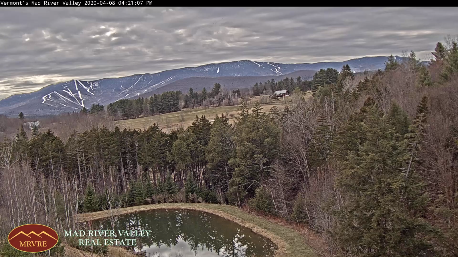
TONIGHT: Overcast. A low 30 to 35. Light southeast winds.
Winter Storm Watch Northeast Kingdom Thursday afternoon thru Friday evening…
TOMORROW: Gray. Periods of rain arriving mid-morning moderate at times in the afternoon. Rain mixing with wet snow before dark with snow coated higher terrain. Blustery at times. A high upper 30s to mid-40s. Southeast winds 10 to 20 mph shifting to westerly late
THURSDAY NIGHT: Accumulating wet snow northern areas with scattered snow showers central and southern Vermont. Highly variable snow accumulation with dusting to 4” valleys and greater than ½ foot northern high terrain. A low 30 to 35. West to northwesterly wind 10 to 25 mph
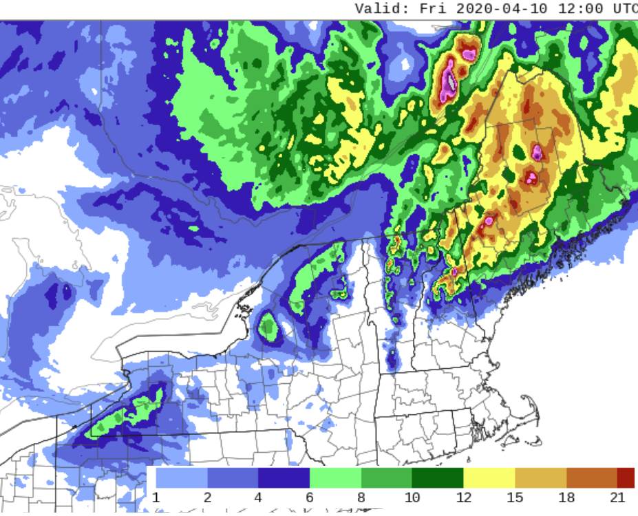
FRIDAY: Mostly cloudy. Frequent snow showers moderate at times. Accumulation 1 to locally 3” down to valley floors. Below normal temps with a high in the mid-30s. Blustery northwest winds 10 to 25 mph with higher gusts.
Looking further ahead…
FRIDAY NIGHT: Scattered evening flurries early then exiting, otherwise partly to mostly cloudy. A low mid to upper 20s.
SATURDAY: Clouds with a few breaks of sun & rather chilly. A high just 35 to 40.
EASTER SUNDAY: Periods of morning sunshine gives way to lots of afternoon clouds. A low in the 20s. A high rebounding into the low 50s.
MONDAY: Overcast but mild. Chance for rain. Breezy to windy. A low in the mid to upper 30s. A high in the 50s.
Average lows ranging mid-20s to low 30s, average highs upper 40s to mid-50s.
RH/4-87[end]
