TODAY: Partly to mostly sunny. A high in the mid to upper 40s. Light northwest winds.
TONIGHT: Fair early then mostly cloudy. A low around 30. Light winds.
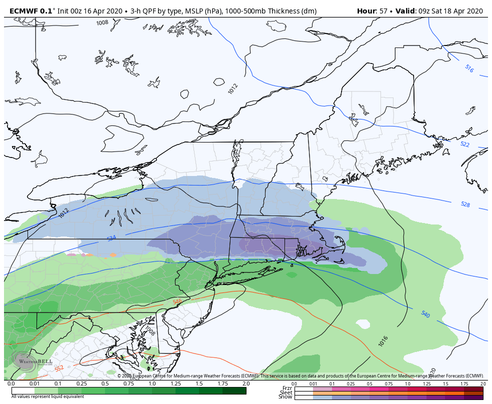
TUESDAY: Gray. A round or rain showers becoming likely late morning on with wet snow flakes across the higher terrain later in the day before exiting. A high 45 to 50. South to southeast winds 10 to 25 mph with higher gusts across the hills.
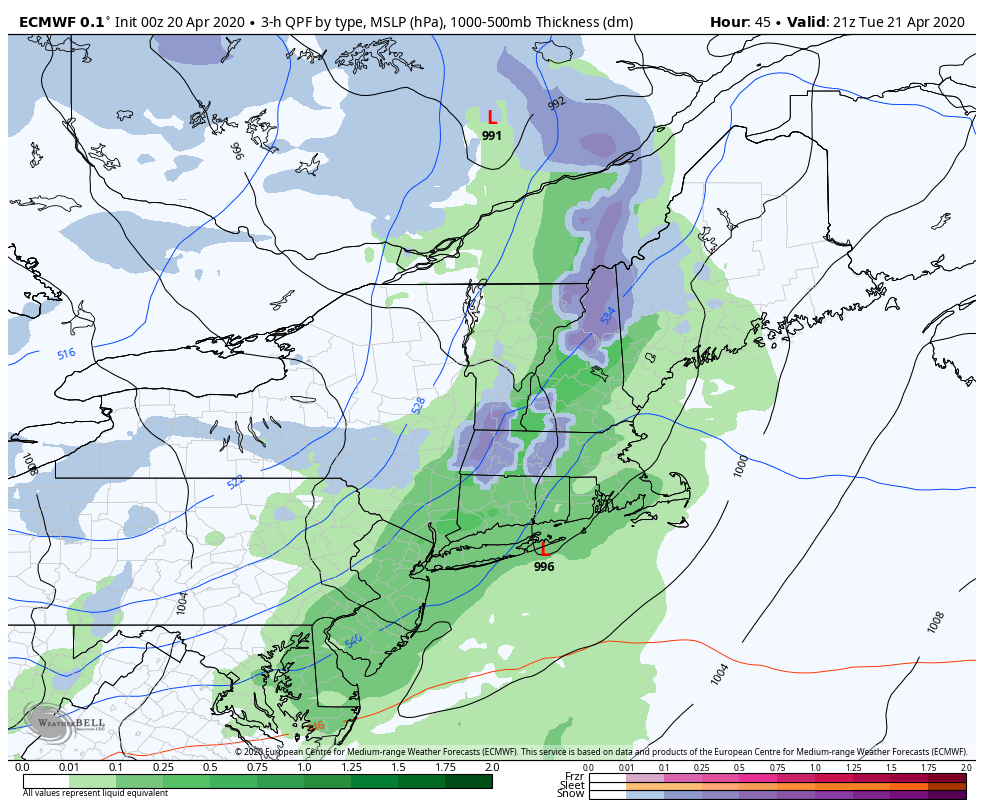
Looking further ahead…
TUESDAY NIGHT: Partly to mostly cloudy. Chance for a few mountain snow flurries. A skiff of snow in some spots possible. A low in the mid-20s to near 30.
WEDNESDAY: More clouds than sun. Blustery to windy. A high mid to upper 30s.
THURSDAY: Pick of the week. Bright sunshine and blue skies. A low 25 to 30. A high upper 40s to around 50.
FRIDAY: Considerable high cloudiness in the morning, then mostly sunny in the afternoon. A low 25 to 32. A high 50 to 55.
Average lows ranging low to mid 30s, average highs in the mid-50s to near 60.
RH/4-20[end]