
Winter Storm Warning Essex County…Winter Weather Advisory Northeast Vermont into this evening…
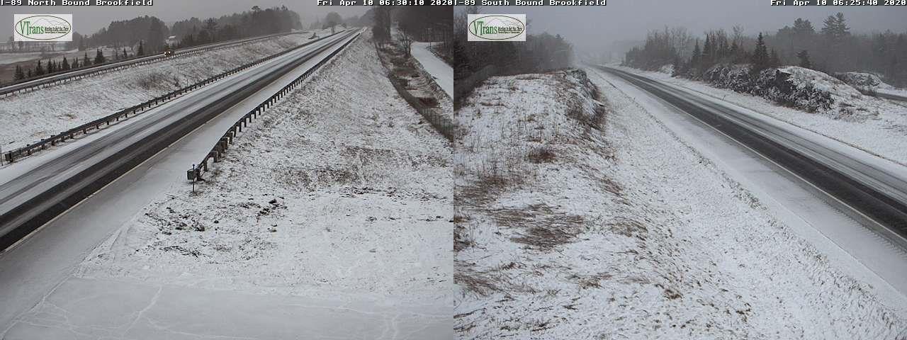
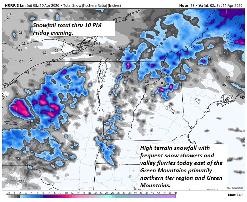
TODAY: Overcast. Frequent mountain snow showers and valley flurries becoming widely scattered late. Accumulation dusting to locally 4” most western slopes of the northern Green’s. A high mid to upper 30s. Northwest winds 10 to 25 mph.
TONIGHT: Occasional evening flurries become isolated overnight with minor additional accumulation. Otherwise partly to mostly cloudy. A low 25 to 30. Northwest winds 10 mph.
SATURDAY: Clouds with a few breaks of sun. A stray northern mountain flurry. Below normal in temperature. A high 35 to 40. Northwest winds 10 to 20 mph.
Looking further ahead…
SATURDAY NIGHT: Becoming mostly clear. A low in the mid-20s.
EASTER SUNDAY: Periods of morning sunshine mixing with more clouds. A high around 50.
MONDAY: Overcast but milder. Periods of rain likely…moderate at times. Breezy to windy. A low 35 to 40. A high 55 to 60.
TUESDAY: Mixed clouds and sun. A low 35 to 40 A high in the 40s.
Average lows ranging upper 20s to mid 30s, average highs 50 to 55.
RH/4-10[end]
