
Winter Storm Warning Essex County…Winter Weather Advisory Northeast Kingdom thru Friday evening…
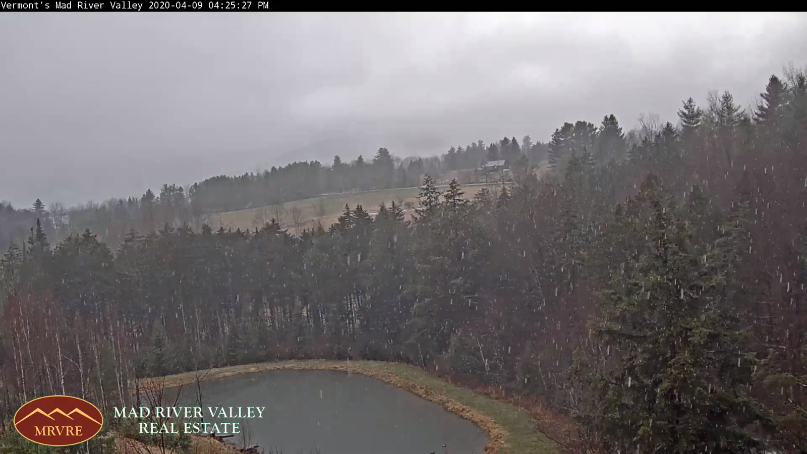
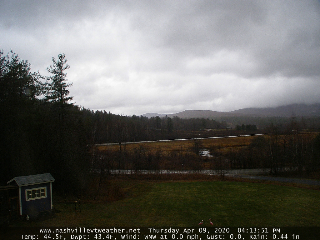
TONIGHT Accumulating wet snow northern areas. A dusting to 2” valleys, with locally more Northeast Kingdom high terrain…tapering off to a few flurries overnight.Becoming partly to mostly cloudy.A low around 32. West to northwesterly wind 10 to 20 mph
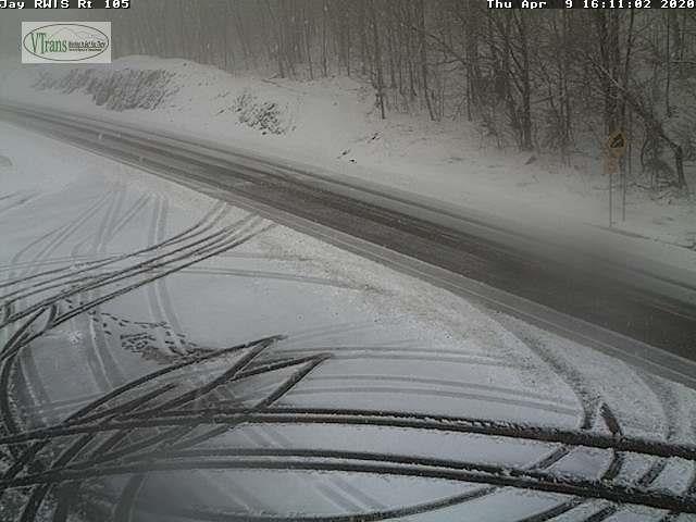
TOMORROW: Overcast. Frequent snow showers becoming widely scattered late. Accumulation dusting to 3” most western slopes of the northern Green’s. A high mid to upper 30s. Northwest winds 10 to 25 mph.
FRIDAY NIGHT: A few evening flurries exiting. Otherwise partly to mostly cloudy. A low 25 to 30. Northwest winds 10 mph.
SATURDAY: Clouds with a few breaks of sun. A stray northern mountain flurry. Below normal in temperature. A high mid to upper 30s. Northwest winds 10 to 20 mph.
Looking further ahead…
SATURDAY NIGHT: Becoming mostly clear. A low in the mid-20s.
EASTER SUNDAY: Periods of morning sunshine mixing with more clouds. Maybe a sprinkle southern areas. A high 45 to 50.
MONDAY: Overcast but milder. Good chance for rain…moderate at times. Breezy to windy. A low 35 to 40. A high 55 to 60.
TUESDAY: Mixed clouds and sun. Slight chance for a rain or snow shower Champlain Valley. A low 35 to 40 A high in the 40s.
Average lows ranging mid-20s to low 30s, average highs upper 40s to mid-50s.
RH/4-87[end]
