27 April, 2020 06:04

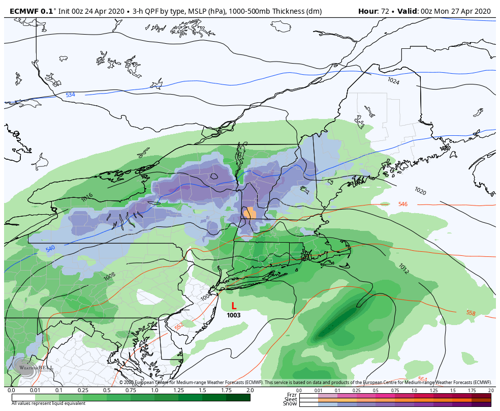
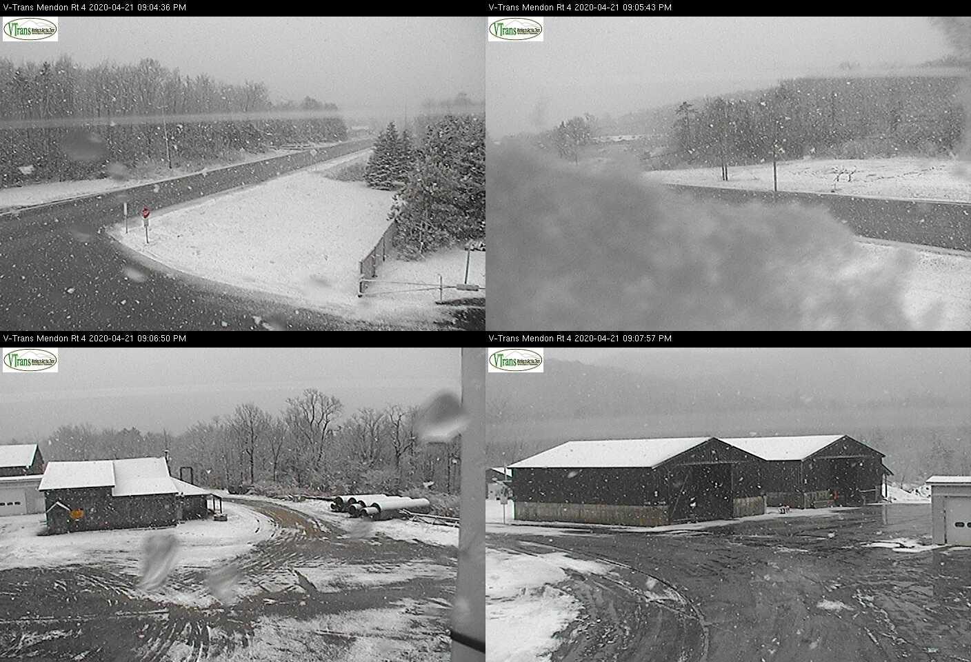
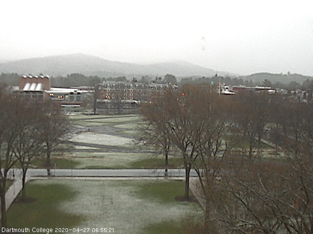
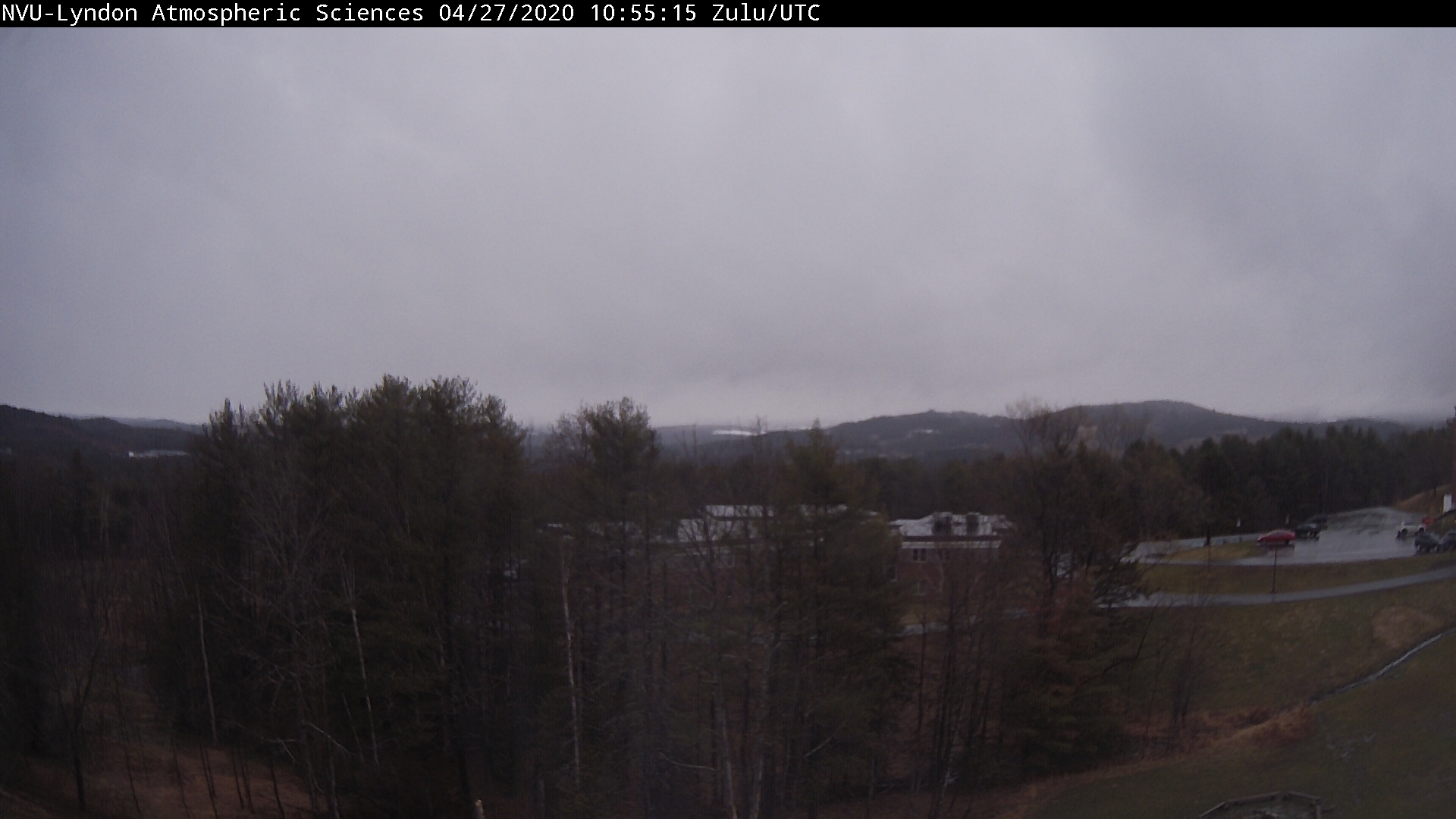
TODAY: Gray, Occasional light rain mixed with wet snow across heights this morning, changing to occasional light rain this afternoon. Some minor additional coating above 1500 ft elevation central and southern areas. Temperatures in the mid-30s to low 40s. North to northeast winds 10 to 15 mph.

TONIGHT: Overcast. Lingering scattered light rain or snow showers. Minor accumulation across the hills. A low 32 to 35. Light northwest winds.

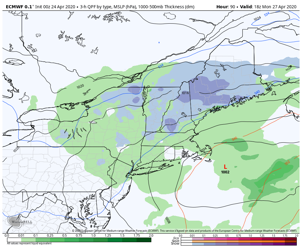
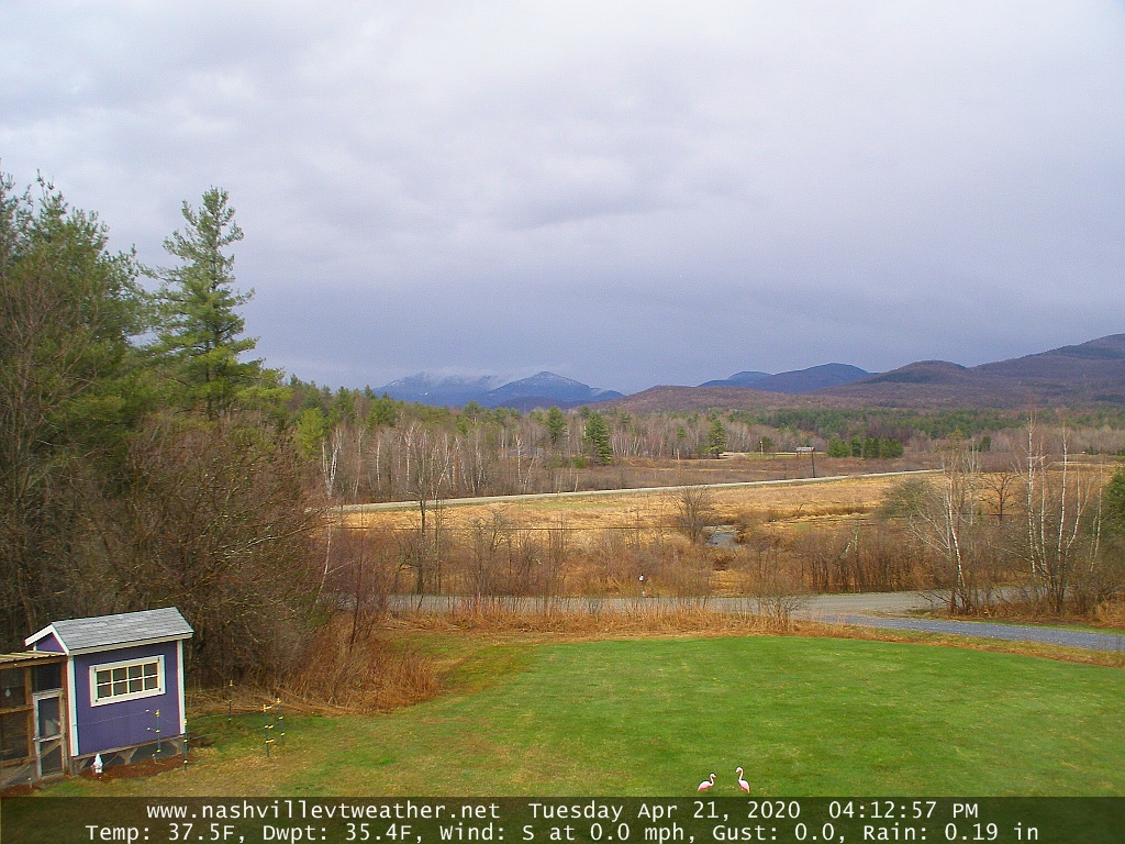
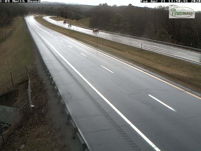
TUESDAY: Considerable cloudiness lingering. Isolated mountain flurries early. A high 45 to around 50. Light north winds.

Looking further ahead…

TUESDAY NIGHT: Evening clouds break up with clearing skies. A low 30 to 35.

WEDNESDAY: Sunshine filtered through high cloudiness in the afternoon. A high in the low to mid 50s.

THURSDAY: Overcast. Chance for spotty light rain. Breezy to windy western slopes of Green Mountains. A low 35 to 40. A high mid to upper 40s.

FRIDAY: Chance for morning rain…moderate at times, then partial afternoon sunshine and near seasonal temperatures. A low 40 to 45. A high 55 to 60.

SATURDAY: Morning clouds then increasing sunshine and pleasant. A low around 45. A high in the mid-50s.

Average lows ranging mid-30s to around 40, average highs in the upper-50s to mid 60s.

RH/4-27[end]

Updated Friday Evening forecast — April 24th, 2020

TONIGHT: Becoming mostly clear with a few high clouds. A low near 30. Light north winds.

TOMORROW: A beauty with lots of sunshine and some high clouds late. Milder and pleasant with a high around 55. Light northwest winds.

SATURDAY NIGHT: Fair in the evening, then clouding up. A low around 32. Light northeast winds.

SUNDAY: Mainly gray. Rain showers likely mid-day on, transitioning to periods of rain and wet snow. Accumulation up couple inches late down south. A high mid-40s southern areas to around 50 northern areas. Light southeast winds.

Looking further ahead…

SUNDAY NIGHT: Overcast. Periods of wet snow moderate at times southern areas with few several inches of accumulation mainly high terrain. A low 32 to 35.

MONDAY: Mainly cloudy, Occasional light wet snow mixed with rain western Vermont. Some minor additional coating. A high 35 to 40.

TUESDAY: Morning clouds then partly to mostly sunny. A low upper 20s to around 30. A high around 45.

WEDNESDAY: Sunshine mixed with high clouds in the afternoon. A morning low 25 to 30. A high in the mid 50s.

Average lows ranging low to mid 30s, average highs in the mid-50s to near 60.

RH/4-24[end]

Updated Friday Morning Forecast — April 24th, 2020

TODAY: Mainly cloudy with hints of sunshine northern areas. Cloudy Barre-Montpelier area and points south. Few light rain showers or sprinkles high terrain wet snow flakes southern areas for a time. Slightly warmer northern areas. A high in the upper 40s to low 50s. Light northeast winds.

TONIGHT: Becoming mostly clear. A low upper 20s to near 30. Light north winds.

SATURDAY: A beauty with lots of sunshine and some high clouds late. Milder and pleasant with a high near 55. Light northwest winds.

Looking further ahead…

SATURDAY NIGHT: Fair in the evening, then clouding up. A low 32 to 35.

SUNDAY: Mainly gray. A rising likelihood of rain showers or periods of rain…transitioning to wet snow later in the afternoon. Some accumulation elevated southern and central Vermont terrain…continuing down to valley floors Sunday night. A few inches of wet snow accumulation possible. A high mid to upper 40s.

MONDAY: Mainly cloudy, with scattered rain and mountain snow showers exiting in the afternoon. A low about 32. A high in the mid to upper 30s.

TUESDAY: Morning clouds then partly to mostly sunny. A low upper 20s to around 30. A high in the mid 40s.

WEDNESDAY: Sunshine mixed with high clouds in the afternoon. A morning low ranging thru the 20s. A high 50 to 55.

Average lows ranging low to mid 30s, average highs in the mid-50s to near 60.

RH/4-24[end]

Updated Thursday Evening Forecast — April 23rd, 2020

TONIGHT: Fair with high clouds this evening, thickening clouds overnight. Chance for mixed rain and snow showers far southern areas late. A low upper 20s or around 30. Little wind.

TOMORROW: Mainly cloudy with hints of sunshine northern areas. Occasional light rain showers mixed with wet snow flakes toward Windsor County exiting later in the afternoon. Little bit warmer. A high in the low 50s. Light northeast winds.

FRIDAY NIGHT: Becoming mostly clear. A low 25 to 30. Light north winds.

SATURDAY: Mostly sunny. High clouds late. Otherwise milder and pleasant with a high in the mid-50s. Light northwest winds.

Looking further ahead…

SATURDAY NIGHT: Fair in the evening, then clouding up. A low around 32.

SUNDAY: Mainly gray. A rising chance for rain mixing with wet accumulating snow, mainly elevated terrain in the afternoon…continuing down to valley floor Sunday night. A few inches possible. A high 45 to 50.

MONDAY: Mainly cloudy, with scattered rain and mountain snow showers exiting in the afternoon. A low near 35. A high in the 40s.

TUESDAY: Partly to mostly sunny. A low 25 to 30. A high 50 to 55.

Average lows ranging low to mid 30s, average highs in the mid-50s to near 60.

RH/4-23[end]

Updated Thursday Morning Forecast — April 23rd, 2020

TODAY: Bright sunshine and blue skies with some late day high clouds southern areas. A little warmer. A high mid-40s. Westerly breeze 10 to 15 mph.

TONIGHT: Thickening clouds. Chance for mixed rain and snow showers far southern areas late. A low upper 20s or around 30. Little wind.

FRIDAY: Mainly cloudy in the morning. Chance for leftover snow or rain showers southern areas exiting. Otherwise dry northern areas with hints of sunshine. A little warmer. A high 50 to 55 warmest central and northern areas. Light northeast winds.

Looking further ahead…

FRIDAY NIGHT: Clear. A low mid to upper 20s.

SATURDAY: Mostly sunny. High clouds southern areas late. Otherwise milder and pleasant. A high in the mid-50s.

SUNDAY: Gray. Chance for rain valleys…and wet accumulating snow elevated terrain in the afternoon…continuing into Sunday night. A few inches snow accumulation high terrain. A low around 35. A high 40 to 45.

MONDAY: Mainly cloudy, with scattered rain and mountain snow showers exiting in the afternoon. A low near 35. A high in the 40s.

TUESDAY: Partly to mostly sunny. A low 25 to 30. A high 50 to 55.

Average lows ranging low to mid 30s, average highs in the mid-50s to near 60.

RH/4-23[end]

Updated Wednesday Evening Forecast — April 22nd, 2020

TONIGHT: Leftover flurries exit the Northeast Kingdom this evening. Otherwise clearing and cold. A low in the low to mid 20s. Northwest winds 10 to 25 mph for a time this evening gradually diminishes.

TOMORROW: Bright sunshine gives way to late day high cloudiness southern areas. A little warmer. A high mid-40s. Westerly breeze 10 to 15 mph.

THURSDAY NIGHT: Variable high cloudiness. A low 25 to 30. Little wind.

FRIDAY: High clouds with hints of sunshine. A little warmer. A high 50 to 55. Light northeast winds.

Looking further ahead…

FRIDAY NIGHT: Clear. A low around 25.

SATURDAY: Some high clouds but a decent amount of sunshine. A high 50 to 55.

SUNDAY: Lots of clouds. Chance for rain showers…mixed with wet snow high terrain central and southern Vermont. A low around 30. A high low 50s but cooler southern areas.

MONDAY: Morning sprinkles exit to more clouds then sun. A low near 35. A high 45 to 50.

Average lows ranging low to mid 30s, average highs in the mid-50s to near 60.

RH/4-22[end]

Updated Wednesday Morning Forecast — April 22nd, 2020

TODAY: Clouds with a break of sun now and then. Scattered flurries and few heavier mountain snow showers especially northern areas. Some additional minor accumulation at times especially this morning. Raw, Blustery to windy & raw. A high around 35…about 20 to 25 degrees below normal. West to northwest winds pick up 10 to 25 mph, localized gusts over 40 mph high terrain.

TONIGHT: Isolated evening flurries exit the Northeast Kingdom. Otherwise clearing and cold. A low in the low to mid 20s. Northwest winds 10 to 15 mph gradually diminishes.

THURSDAY: Bright sunshine gives way to late day high cloudiness. A little warmer. A high mid to upper 40s. Westerly breeze 10 to 15 mph.

Looking further ahead…

THURSDAY NIGHT: Variable cloudiness. A low 25 to 30.

FRIDAY: High cloudiness gives way to increasing sunshine and a little warmer. A high 50 to 55.

SATURDAY: Sunshine becoming filtered by high clouds. A low mid to upper 20s. A high in the lower 50s.

SUNDAY: Clouding up. Chance for rain showers…mixed with wet snow high terrain. A low near 32. A high in the mid-40s.

MONDAY: A period of morning sun, then partly cloudy. A low 32 to 35. A high 45 to 50.

Average lows ranging low to mid 30s, average highs in the mid-50s to near 60.

RH/4-22[end]

Updated Tuesday Evening Forecast — April 21st, 2020

TONIGHT: Becoming partly cloudy this evening, then more clouds overnight. Scattered mountain snow showers and valley flurries. A light coating of snow…the most Northeast Kingdom higher terrain. A low mid to upper 20s. Westerly winds 10 to 20 mph.

TOMORROW: Considerable cloudiness. Scattered mountain snow showers and valley flurries. Up to an inch accumulation high terrain. Blustery to windy and raw. A high around 35. West to northwest winds pick up 10 to 25 mph, gusts over 40 mph high terrain.

WEDNESDAY NIGHT: Isolated evening flurries exiting Northeast Kingdom. Otherwise clearing and cold. A low in the low to mid 20s. Northwest winds 10 to 15 mph gradually diminishes.

THURSDAY: Bright sunshine gives way to late day high cloudiness. A little warmer. A high mid to upper 40s. Westerly breeze 10 to 15 mph.

Looking further ahead…

THURSDAY NIGHT: Variable cloudiness. A low 25 to 30.

FRIDAY: High cloudiness gives way to increasing sunshine and a little warmer. A high upper 40s to around 50.

SATURDAY: Lots of sun filtered by high clouds. A low mid to upper 20s. A high in the low 50s.

SUNDAY: Clouding up. Chance for rain showers…mixed with wet snow higher terrain. A low near 32. A high in the mid-40s.

MONDAY: A period of morning sun, then partly cloudy. A low 32 to 35. A high 45 to 50.

Average lows ranging low to mid 30s, average highs in the mid-50s to near 60.

RH/4-21[end]

Updated Tuesday morning Forecast — April 21st, 2020

TODAY: Cloudy. Rain showers developing mid-day, briefly moderate at times eventually transitioning to wet snow especially the higher terrain late. Accumulation of an inch or so grassy surfaces Northeast Kingdom late. A high 45 to 50. South to southeast winds 10 to 25 mph with higher gusts, shifting to westerly late with a cold frontal passage.

TONIGHT: Partly to mostly cloudy. Widely scattered mountain snow showers and valley flurries. A dusting to an inch of accumulation with the most Northeast Kingdom higher terrain. A low mid to upper 20s. West to northwest winds 10 to 15 mph.

WEDNESDAY: Considerable cloudiness. Scattered mountain snow showers and valley flurries. Up to an inch accumulation higher terrain. Blustery to windy. A high mid to upper 30s. West to northwest winds pick up 10 to 25 mph, gusts over 40 mph high terrain.

Looking further ahead…

WEDNESDAY NIGHT: Isolated mountain flurries then clearing and colder. A low ranging thru the 20s.

THURSDAY: Bright sun and blue skies but still chilly. A high mid to upper 40s.

FRIDAY: High cloudiness gives way to increasing sunshine and a little warmer. A low 25 to 32. A high 50 to 55.

SATURDAY: Lots of sun filtered by high clouds. A low 25 to 30. A high 50 to 55.

Average lows ranging low to mid 30s, average highs in the mid-50s to near 60.

RH/4-21[end]

Updated Monday Evening forecast — April 20th, 2020

TONIGHT: Fair early then mostly cloudy. A low mid-20s to near 30. Light winds.

TOMORROW: Gray. A period of rain showers arrives toward mid-day mixing with or changing to a period of wet snow especially the higher terrain late. A high 45 to 50. South to southeast winds 10 to 25 mph with higher gusts, shifting to westerly late with a cold frontal passage.

TUESDAY NIGHT: Partly to mostly cloudy. Widely scattered mountain snow showers and valley flurries. A dusting to an inch of accumulation with the most Northeast Kingdom higher terrain. A low ranging thru the 20s. West to northwest winds 10 to 15 mph.

WEDNESDAY: More clouds than sun. Scattered mountain snow showers and valley flurries. Up to an inch accumulation northern higher terrain. Blustery to windy. A high mid to upper 30s. West to northwest winds pick up 10 to 25 mph, gusts over 40 mph high terrain.

Looking further ahead…

WEDNESDAY NIGHT: Mostly clear and very chilly. A low 20 to 25.

THURSDAY: Bright sun and blue skies but still chilly. A high mid to upper 40s.

FRIDAY: High cloudiness gives way to increasing sunshine and a little warmer. A low 25 to 32. A high 50 to 55.

SATURDAY: Lots of sun filtered by high clouds. A low 25 to 30. A high in the mid 50s.

Average lows ranging low to mid 30s, average highs in the mid-50s to near 60.

RH/4-20[end]