
TONIGHT: Fair early then mostly cloudy. A low mid-20s to near 30. Light winds.
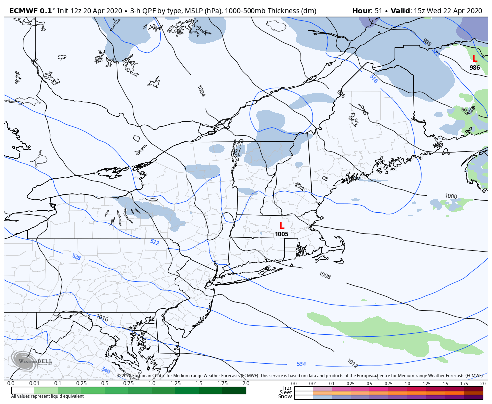
TOMORROW: Gray. A period of rain showers arrives toward mid-day mixing with or changing to a period of wet snow especially the higher terrain late. A high 45 to 50. South to southeast winds 10 to 25 mph with higher gusts, shifting to westerly late with a cold frontal passage.
TUESDAY NIGHT: Partly to mostly cloudy. Widely scattered mountain snow showers and valley flurries. A dusting to an inch of accumulation with the most Northeast Kingdom higher terrain. A low ranging thru the 20s. West to northwest winds 10 to 15 mph.
WEDNESDAY: More clouds than sun. Scattered mountain snow showers and valley flurries. Up to an inch accumulation northern higher terrain. Blustery to windy. A high mid to upper 30s. West to northwest winds pick up 10 to 25 mph, gusts over 40 mph high terrain.
Looking further ahead…
WEDNESDAY NIGHT: Mostly clear and very chilly. A low 20 to 25.
THURSDAY: Bright sun and blue skies but still chilly. A high mid to upper 40s.
FRIDAY: High cloudiness gives way to increasing sunshine and a little warmer. A low 25 to 32. A high 50 to 55.
SATURDAY: Lots of sun filtered by high clouds. A low 25 to 30. A high in the mid 50s.
Average lows ranging low to mid 30s, average highs in the mid-50s to near 60.
RH/4-20[end]
