
TODAY: Mainly cloudy with hints of sunshine northern areas. Cloudy Barre-Montpelier area and points south. Few light rain showers or sprinkles high terrain wet snow flakes southern areas for a time. Slightly warmer northern areas. A high in the upper 40s to low 50s. Light northeast winds.
TONIGHT: Becoming mostly clear. A low upper 20s to near 30. Light north winds.
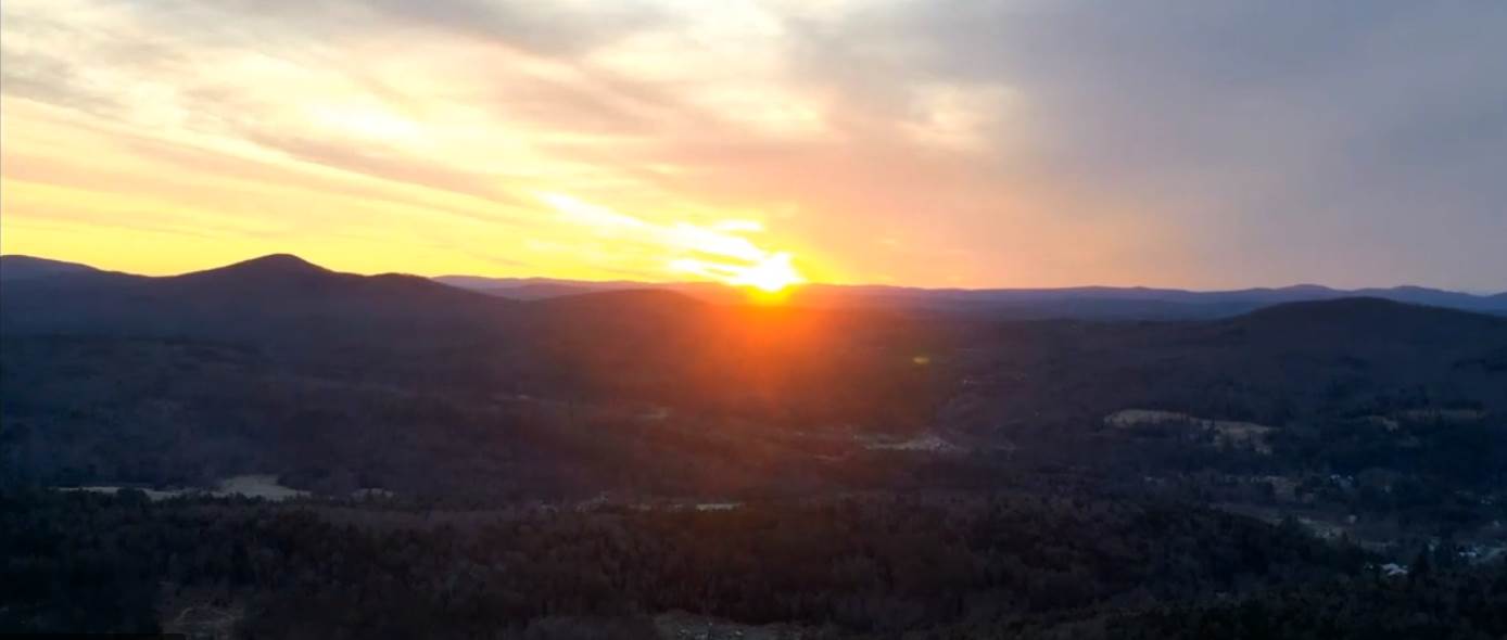
SATURDAY: A beauty with lots of sunshine and some high clouds late. Milder and pleasant with a high near 55. Light northwest winds.
Looking further ahead…
SATURDAY NIGHT: Fair in the evening, then clouding up. A low 32 to 35.
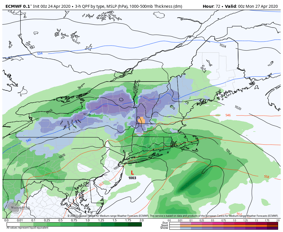
SUNDAY: Mainly gray. A rising likelihood of rain showers or periods of rain…transitioning to wet snow later in the afternoon. Some accumulation elevated southern and central Vermont terrain…continuing down to valley floors Sunday night. A few inches of wet snow accumulation possible. A high mid to upper 40s.
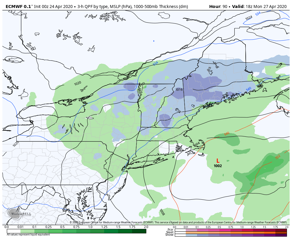
MONDAY: Mainly cloudy, with scattered rain and mountain snow showers exiting in the afternoon. A low about 32. A high in the mid to upper 30s.
TUESDAY: Morning clouds then partly to mostly sunny. A low upper 20s to around 30. A high in the mid 40s.
WEDNESDAY: Sunshine mixed with high clouds in the afternoon. A morning low ranging thru the 20s. A high 50 to 55.
Average lows ranging low to mid 30s, average highs in the mid-50s to near 60.
RH/4-24[end]
