
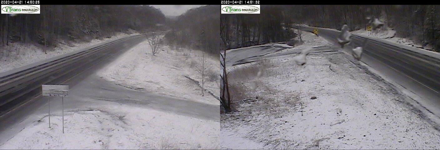
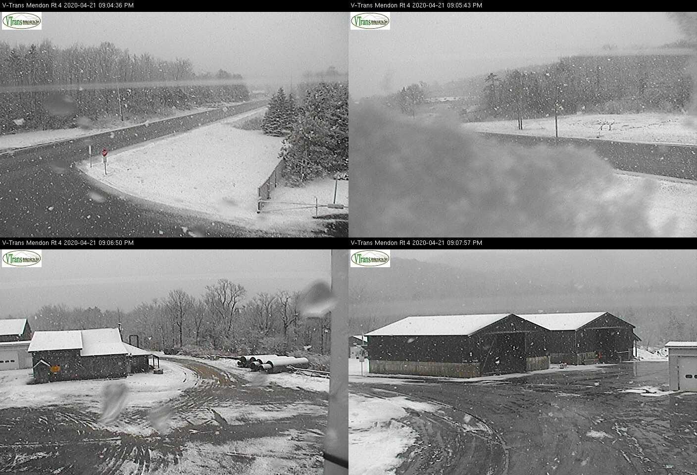
TONIGHT: Becoming partly cloudy this evening, then more clouds overnight. Scattered mountain snow showers and valley flurries. A light coating of snow…the most Northeast Kingdom higher terrain. A low mid to upper 20s. Westerly winds 10 to 20 mph.
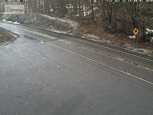
TOMORROW: Considerable cloudiness. Scattered mountain snow showers and valley flurries. Up to an inch accumulation high terrain. Blustery to windy and raw. A high around 35. West to northwest winds pick up 10 to 25 mph, gusts over 40 mph high terrain.
WEDNESDAY NIGHT: Isolated evening flurries exiting Northeast Kingdom. Otherwise clearing and cold. A low in the low to mid 20s. Northwest winds 10 to 15 mph gradually diminishes.
THURSDAY: Bright sunshine gives way to late day high cloudiness. A little warmer. A high mid to upper 40s. Westerly breeze 10 to 15 mph.
Looking further ahead…
THURSDAY NIGHT: Variable cloudiness. A low 25 to 30.
FRIDAY: High cloudiness gives way to increasing sunshine and a little warmer. A high upper 40s to around 50.
SATURDAY: Lots of sun filtered by high clouds. A low mid to upper 20s. A high in the low 50s.
SUNDAY: Clouding up. Chance for rain showers…mixed with wet snow higher terrain. A low near 32. A high in the mid-40s.
MONDAY: A period of morning sun, then partly cloudy. A low 32 to 35. A high 45 to 50.
Average lows ranging low to mid 30s, average highs in the mid-50s to near 60.
RH/4-21[end]
