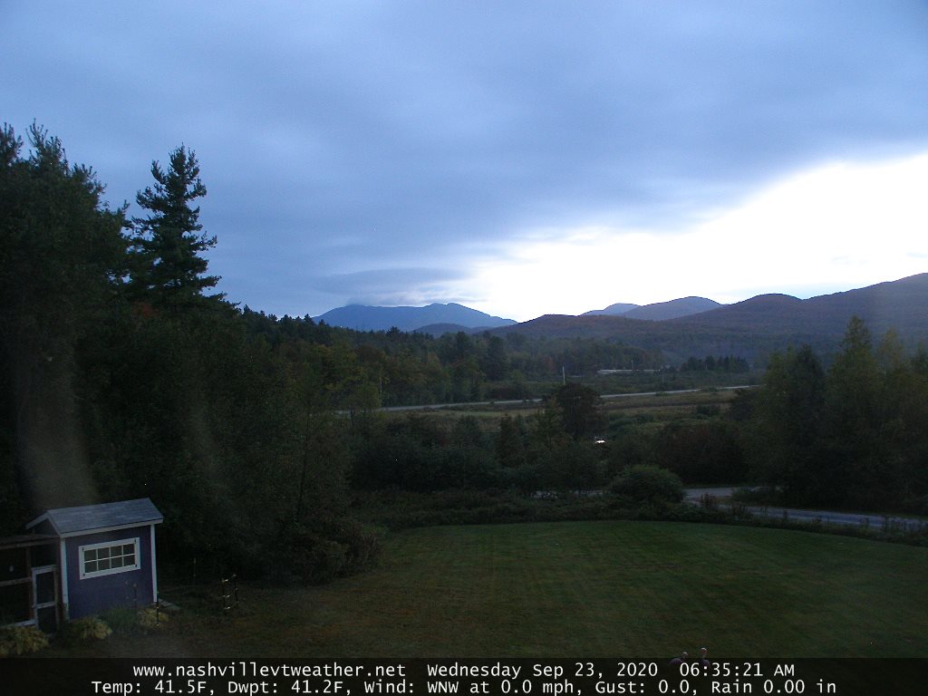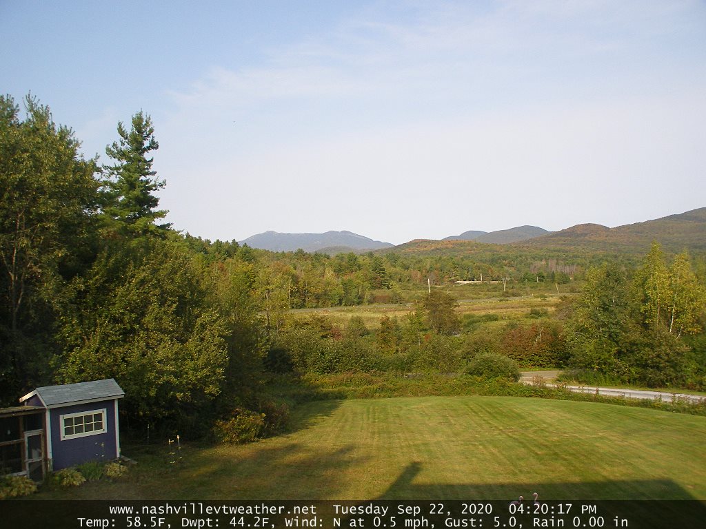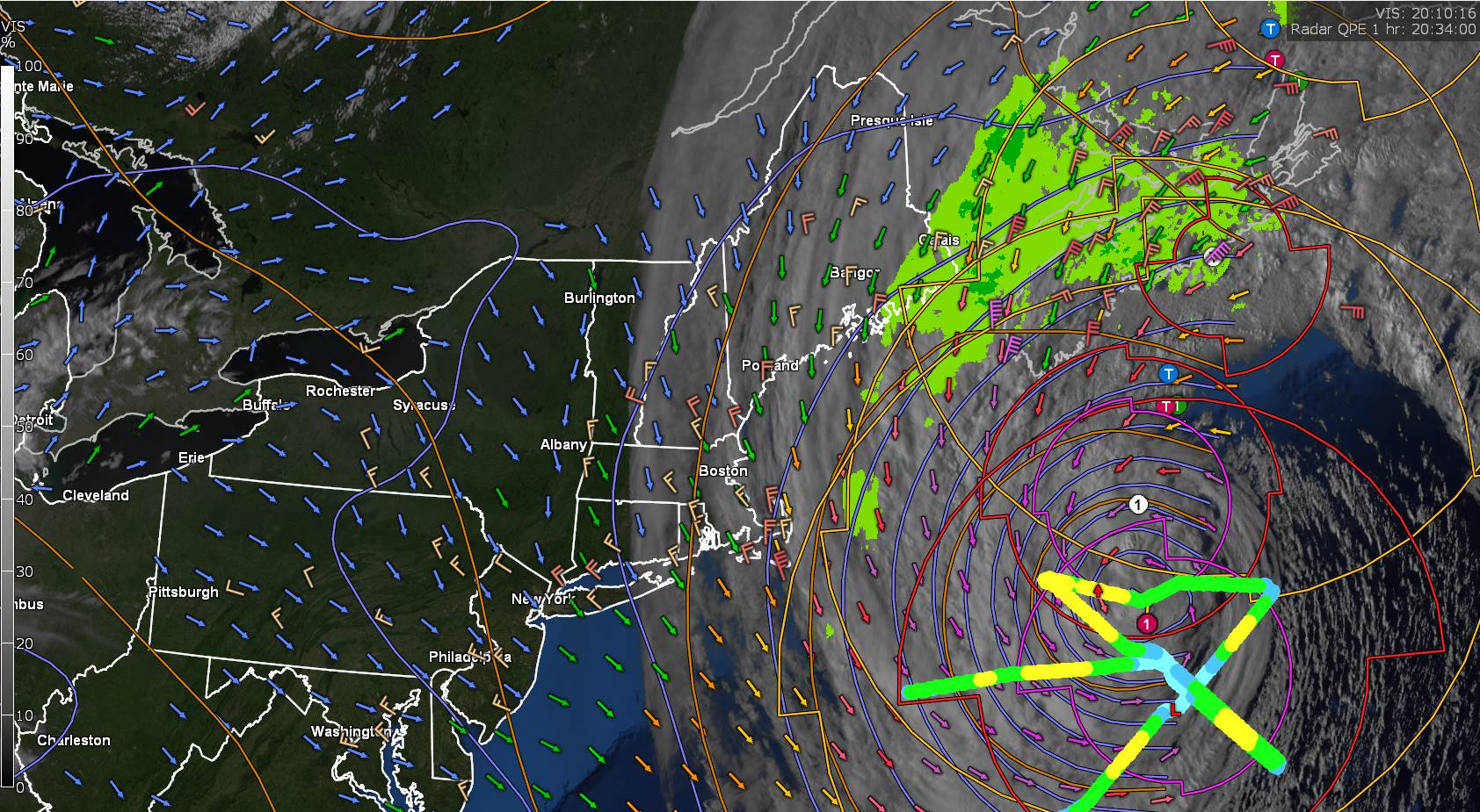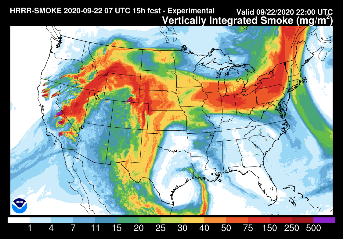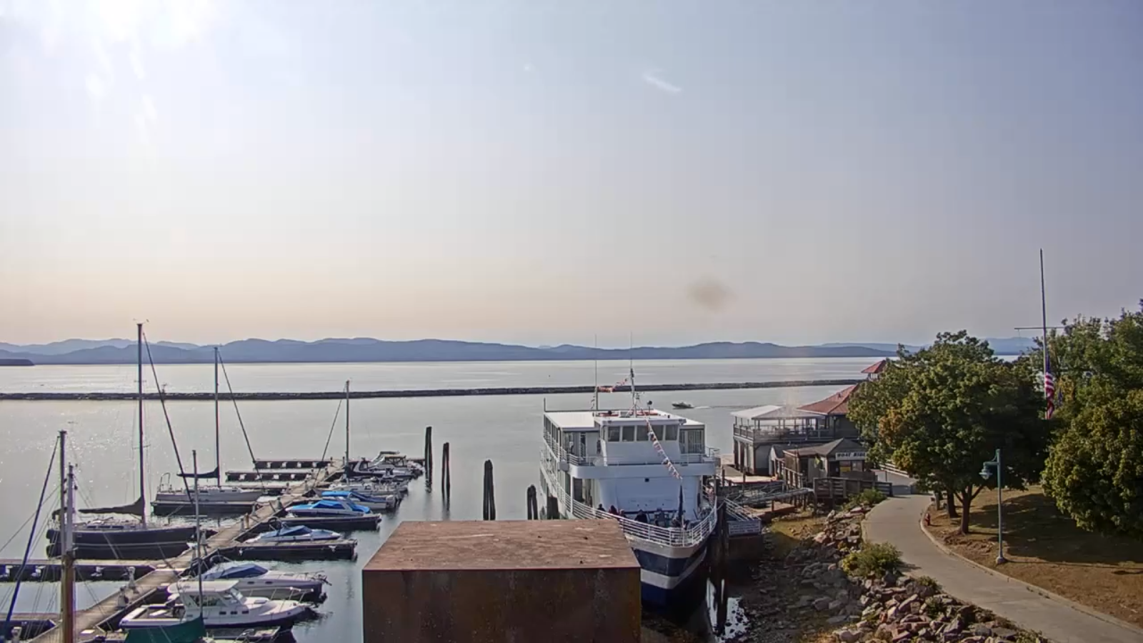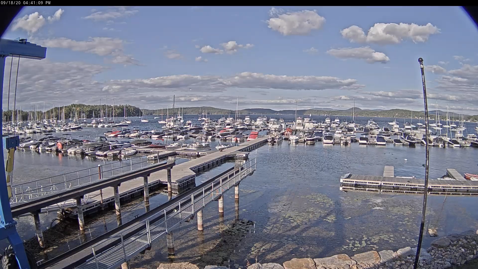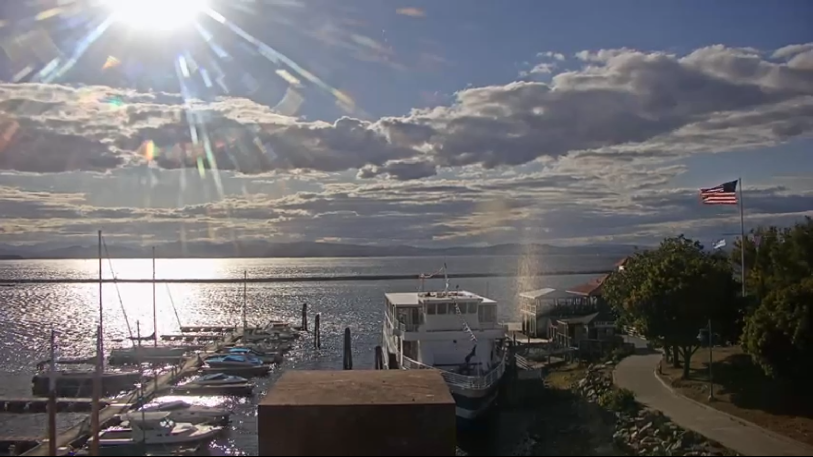
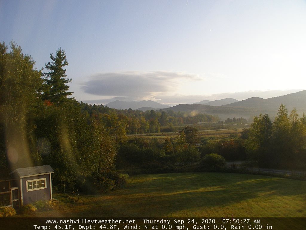
TODAY: Partial morning sun after any fog burns off, then a few cloudy periods. Isolated northern mountain sprinkles. A high in the low 70s. Southwest breeze becomes westerly 10 mph.
TONIGHT: Partly cloudy. Isolated valley fog. A low upper 40s to around 50. Little wind.
FRIDAY: Clouds and sun. Maybe a sprinkle or two northern areas. Mild with high in the low to mid 70s. Light southwest winds.
Looking further ahead…
FRIDAY NIGHT: Partly cloudy. Isolated valley fog. A low 50 to 55.
SATURDAY: Sunshine…becoming filtered by high clouds late. Warmer. A high upper 70s to near 80.
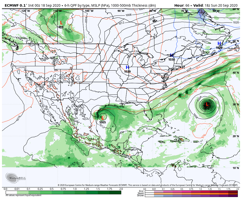
SUNDAY: Sunshine gives way to more cloudiness northern areas. A low around 55. A high around 80.
MONDAY: Mixed clouds and sun. A low near 55. A high 75 to 80.
TUESDAY: More clouds than sunshine. Chance for showers. A low near 60. A high around 80.
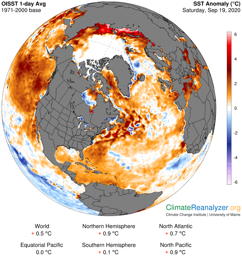
Average lows in the low to mid 40s, Average highs around 65.
RH/9-23 category forecast][end]