
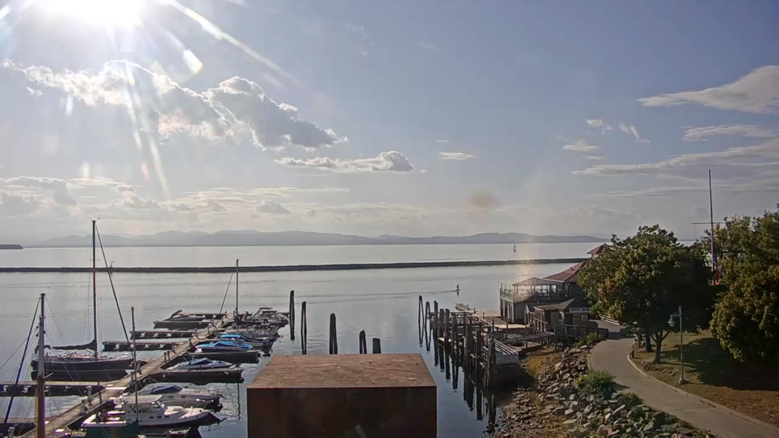
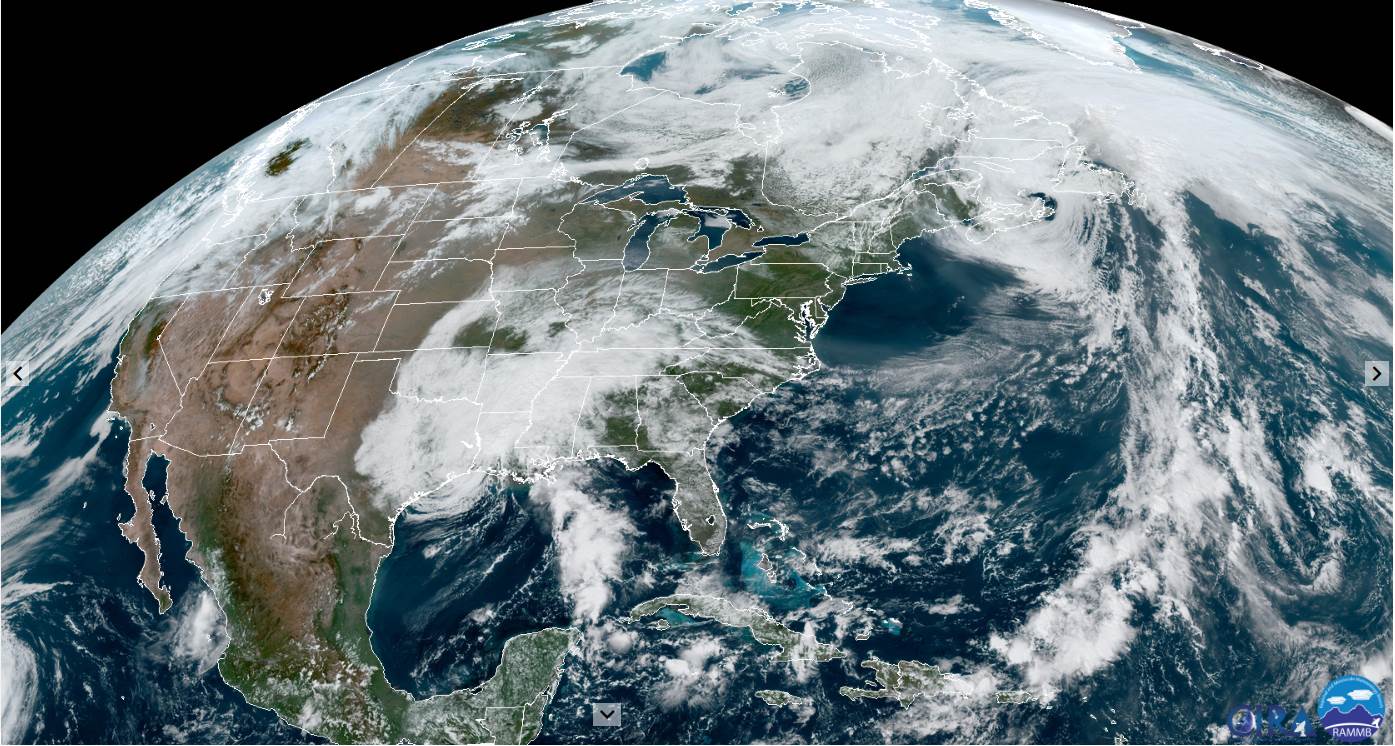
TONIGHT: An Isolated evening sprinkle northern areas, otherwise scattered clouds. A low mid to upper 40s. Light west winds.
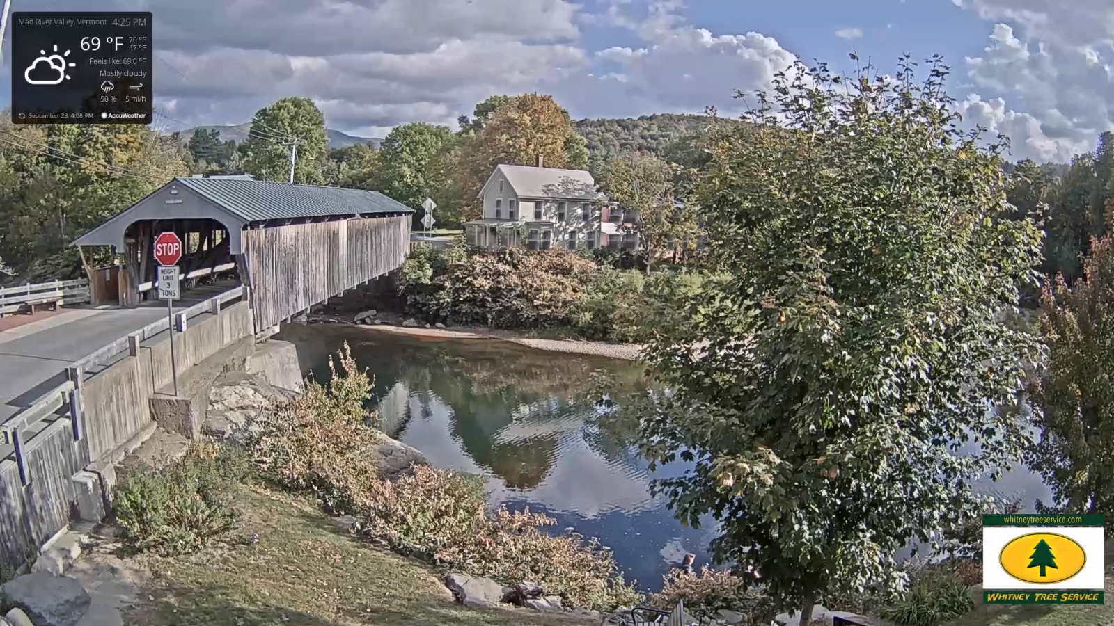
TOMORROW: Partial morning sun, then mostly cloudy & breezy. Maybe a northern mountain sprinkle. A high in the low 70s. Southwest breeze becomes westerly 10 mph.
THURSDAY NIGHT: Scattered clouds evening clouds. Mostly cloudy overnight with a sprinkle or two toward daybreak. A low upper 40s to around 50. Little wind.
FRIDAY: Clouds and sun. Maybe a sprinkle or two. Mild. A high around 75. Light southwest winds.
Looking further ahead…
FRIDAY NIGHT: Partly cloudy. A low 50 to 55.
SATURDAY: Sunshine…becoming filtered by high clouds late. Warmer. A high upper 70s to near 80.
SUNDAY: Sunshine gives way to thickening clouds northern areas. Chance for a brief shower Vermont/Quebec border. A low 55 to 60. A high near 80.
MONDAY: Mainly cloudy & breezy. Chance for showers, possibly moderate at times. A low near 55. A high near 65.
Average lows in the low to mid 40s, Average highs around 65.
RH/9-22 category forecast][end]
