
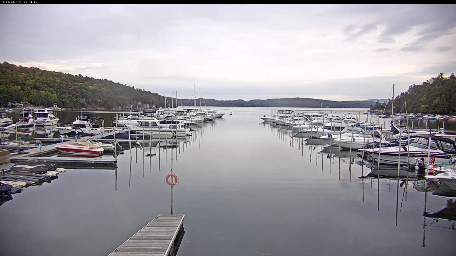
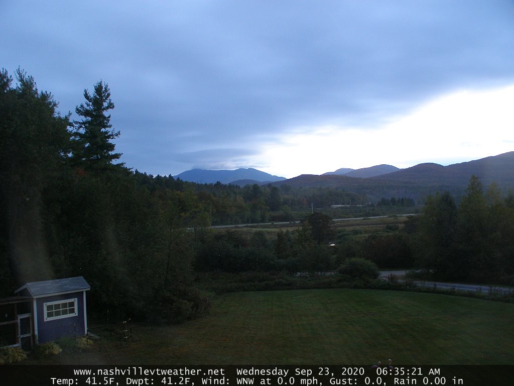
TODAY: Periods of morning sun, gives way to lots of clouds. A few late day sprinkles especially Northeast Kingdom. A high in mid 60s. Northwest breeze 10 to 15 mph.
TONIGHT: Maybe an early evening sprinkle northern areas, otherwise scattered clouds. A low mid to upper 40s. Light west winds.
THURSDAY: Partial morning sun, then mostly cloudy & breezy. Widely scattered sprinkles. A high in the low 70s. Southwest breeze becomes northwesterly 10 to 15 mph.
Looking further ahead…
THURSDAY NIGHT: Scattered clouds. Patchy valley fog. A low upper 40s to around 50.
FRIDAY: Mix sunshine and few clouds. Mild. A high around 75.
SATURDAY: Isolated valley fog gives way to lots of sunshine…becoming filtered by high clouds late. A low 50 to 55. Warmer. A high upper 70s to near 80.
SUNDAY: Sunshine gives way to thickening clouds northern areas. Chance for rain showers possibly moderate northern areas, maybe even a rumble of thunder. A low 55 to 60. A high near 80.
MONDAY: More clouds than sun & breezy. Slight chance for a few leftover showers. A low near 55. A high near 65.
Average lows in the low to mid 40s, Average highs around 65.
RH/9-22 category forecast][end]
