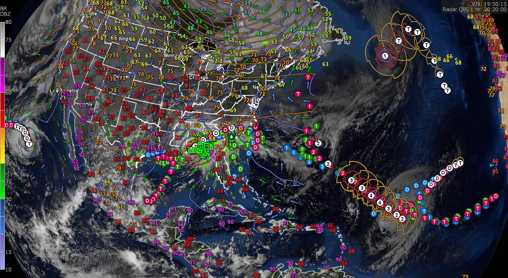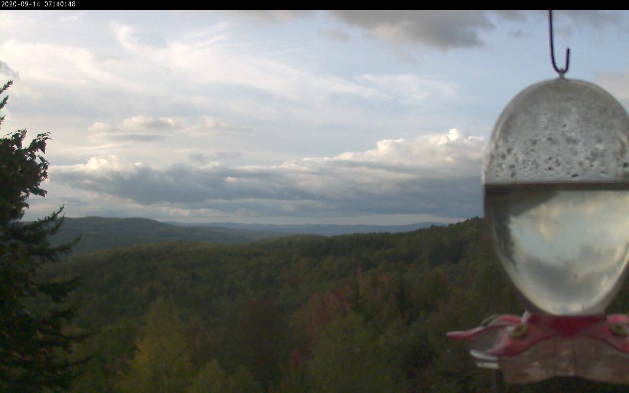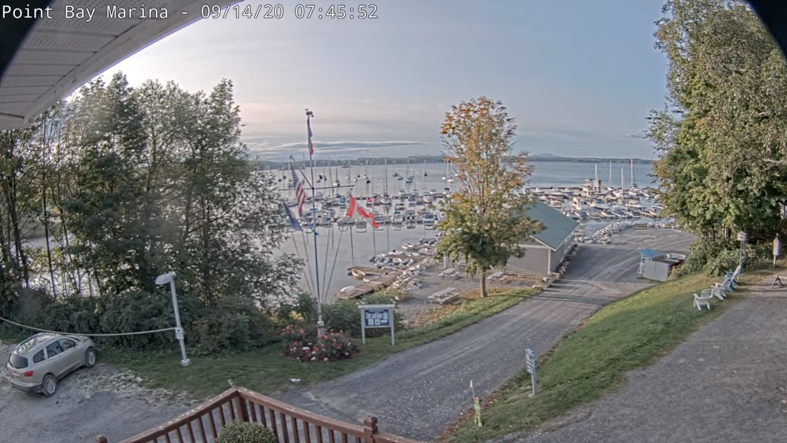
TODAY: Mainly cloudy. Widely scattered rain showers or sprinkles especially northern areas and south this afternoon. Partial late day clearing northern areas. A high 60 to 65. Northwest winds 10 mph.
TONIGHT: Lingering cloudiness. Occasional light showers Rutland south. A low upper 30s to mid-40s. Light north breeze.
FRIDAY: Morning clouds with a few lingering showers southern areas partial clearing in the afternoon. A high in the upper 50s around 60. North breeze 10 mph.
Looking further ahead…
FRIDAY NIGHT: Mostly clear. A low 30 to 35 with scattered areas of frost.
SATURDAY: A frosty start with areas of valley fog, then more sunshine than clouds. A high in the mid-50s.
SUNDAY: Mostly sunny. A low in the low to mid 30s with scattered frost. A high around 55.
MONDAY: Sunshine giving way to increasing high clouds. A low in the low 30s with areas of frost. A high in the upper 50s to around 60.
TUESDAY: Partly to mostly cloudy. A low in the mid-30s. A high in the mid-50s.
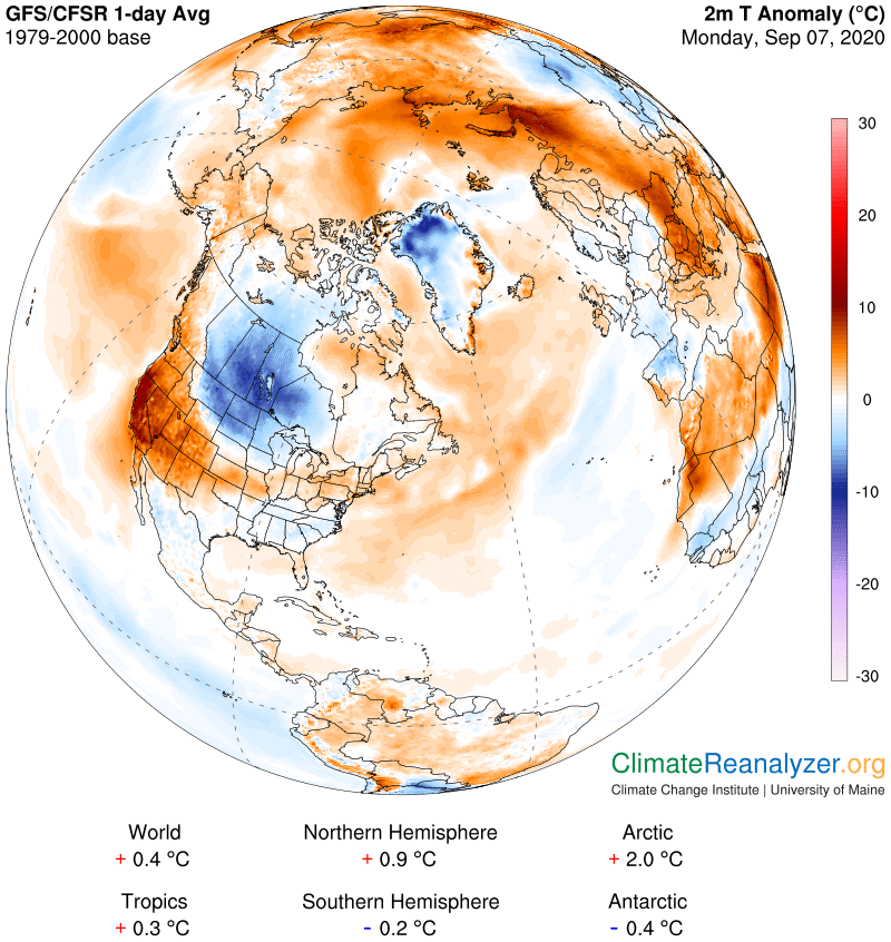
Average lows 45 to 50, Average highs mid-60s to around 70.
RH/9-17[end]