
Autumnal Equinox 9:30 AM
TODAY: Sunshine and a little warmer with a few high clouds eastern areas. A high 60 to 65. Light northwest winds.
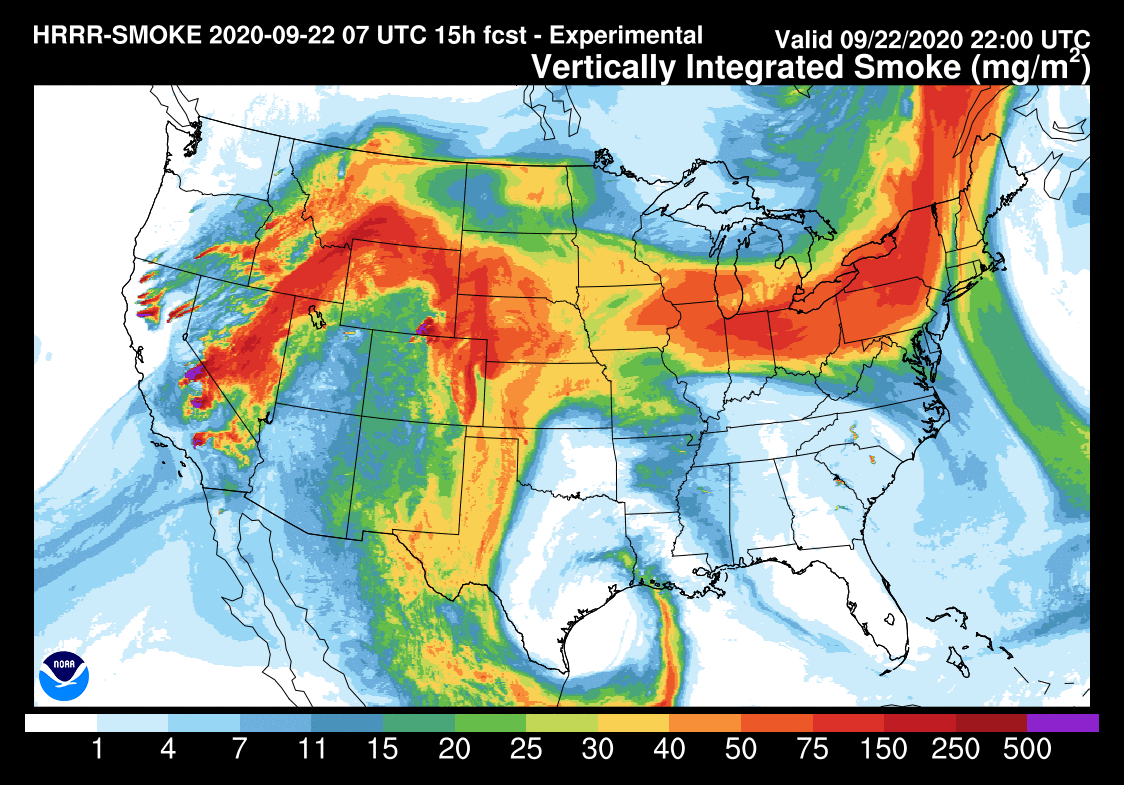
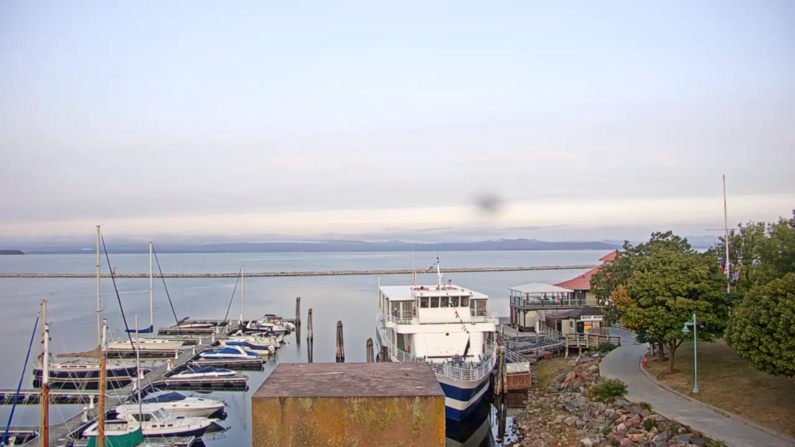
TONIGHT: Fair or smoky sky…with some high clouds. Not so cold. A low around 45. Light northwest winds.
WEDNESDAY: Partly to mostly cloudy. Maybe a late day sprinkle northern areas. A high in mid 60s. Northwest breeze 10 to 15 mph.
Looking further ahead…
WEDNESDAY NIGHT: Maybe an evening sprinkle northern areas, otherwise partly cloudy. A low in the mid-40s.
THURSDAY: Mixed clouds and sun. A possible mountain sprinkle. A high near 70.
FRIDAY: Partly sunny & warmer. A low near 50. A high in the mid to upper 70s.
SATURDAY: Mostly sunny. A low near 50. A high pushing toward 80 degrees!
SUNDAY: Thickening clouds. A rising chance for rain showers late morning on. A low mid to upper 50s. A high around 70.
MONDAY: More clouds than sun & breezy. Slight chance for a few leftover showers. A low near 55. A high near 65.
Average lows in the low to mid 40s, Average highs around 65.
RH/9-21 category forecast][end]
