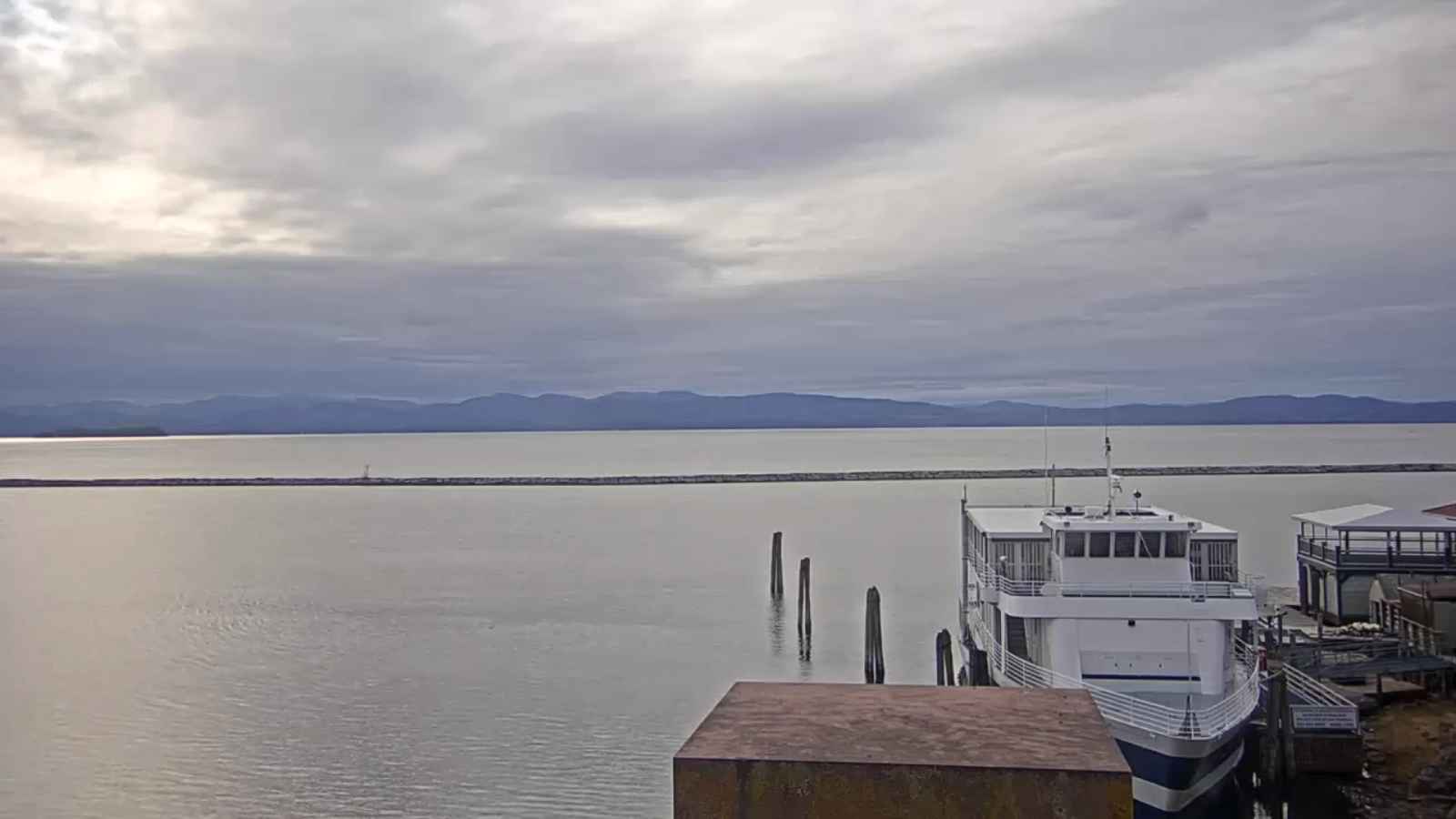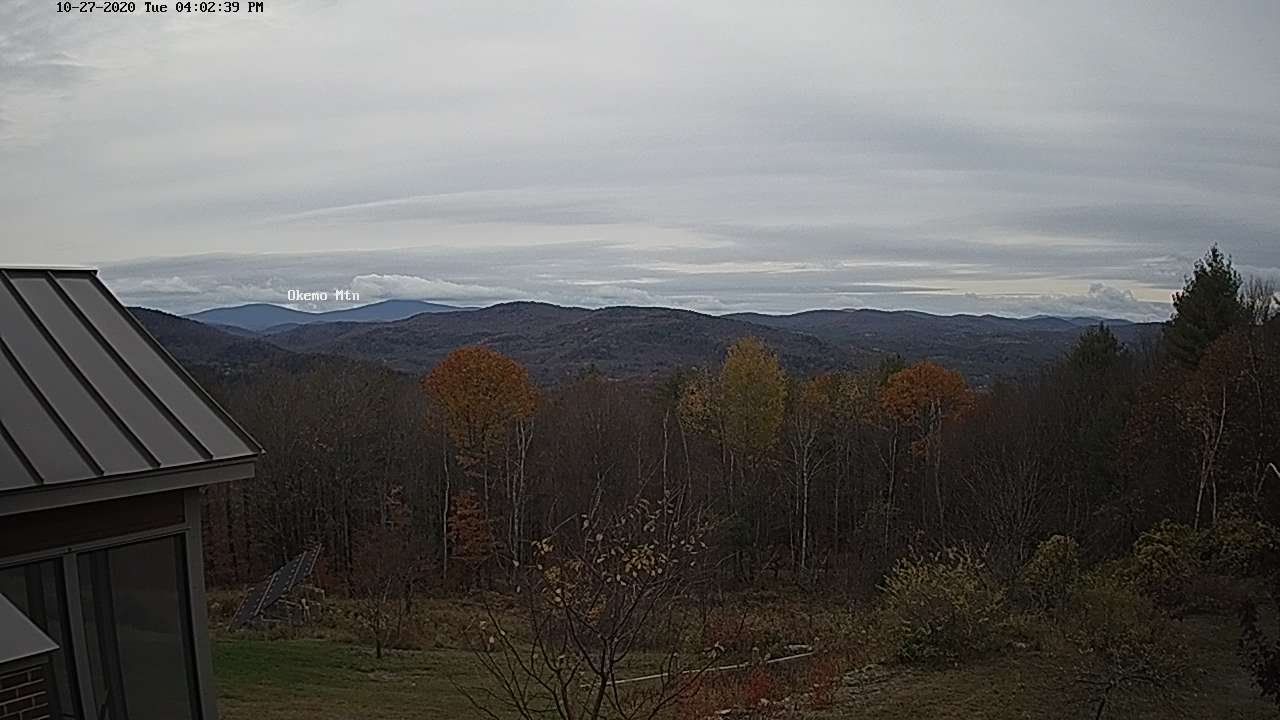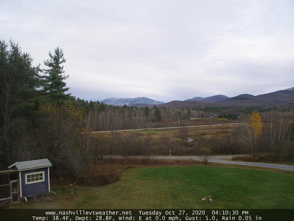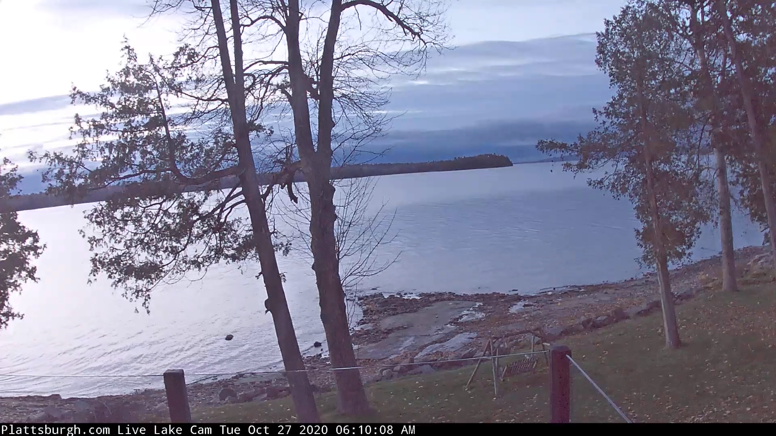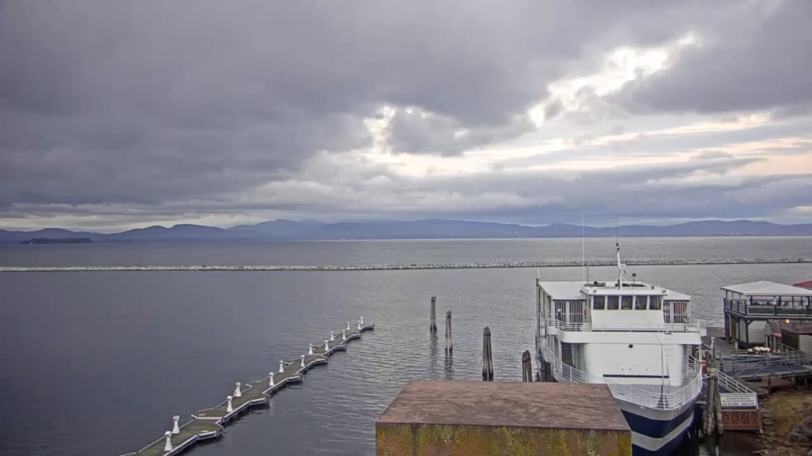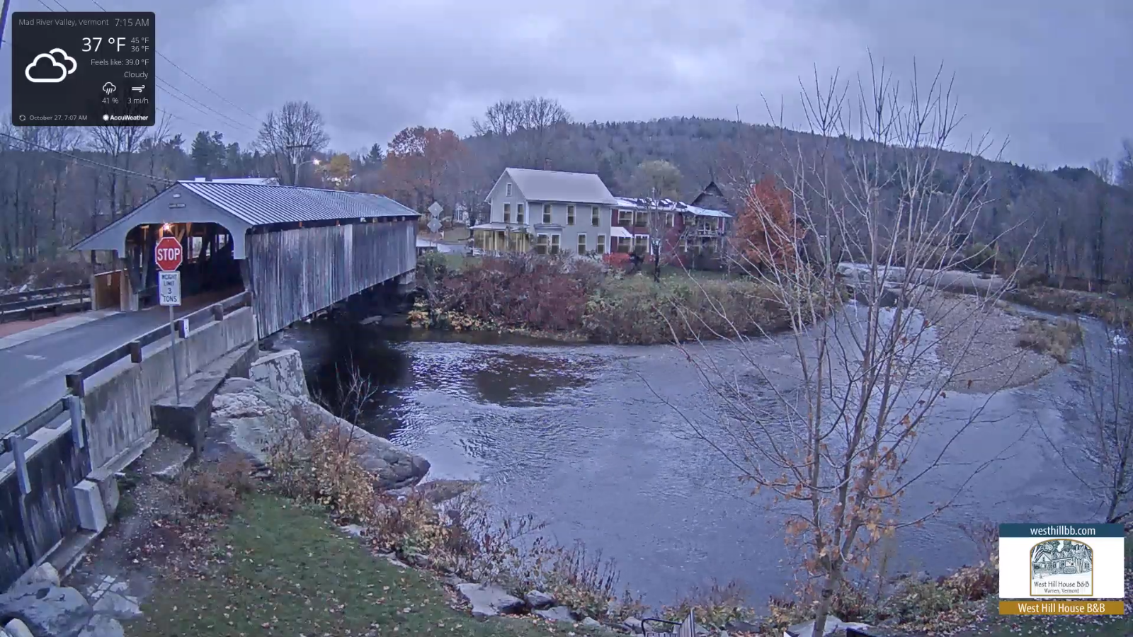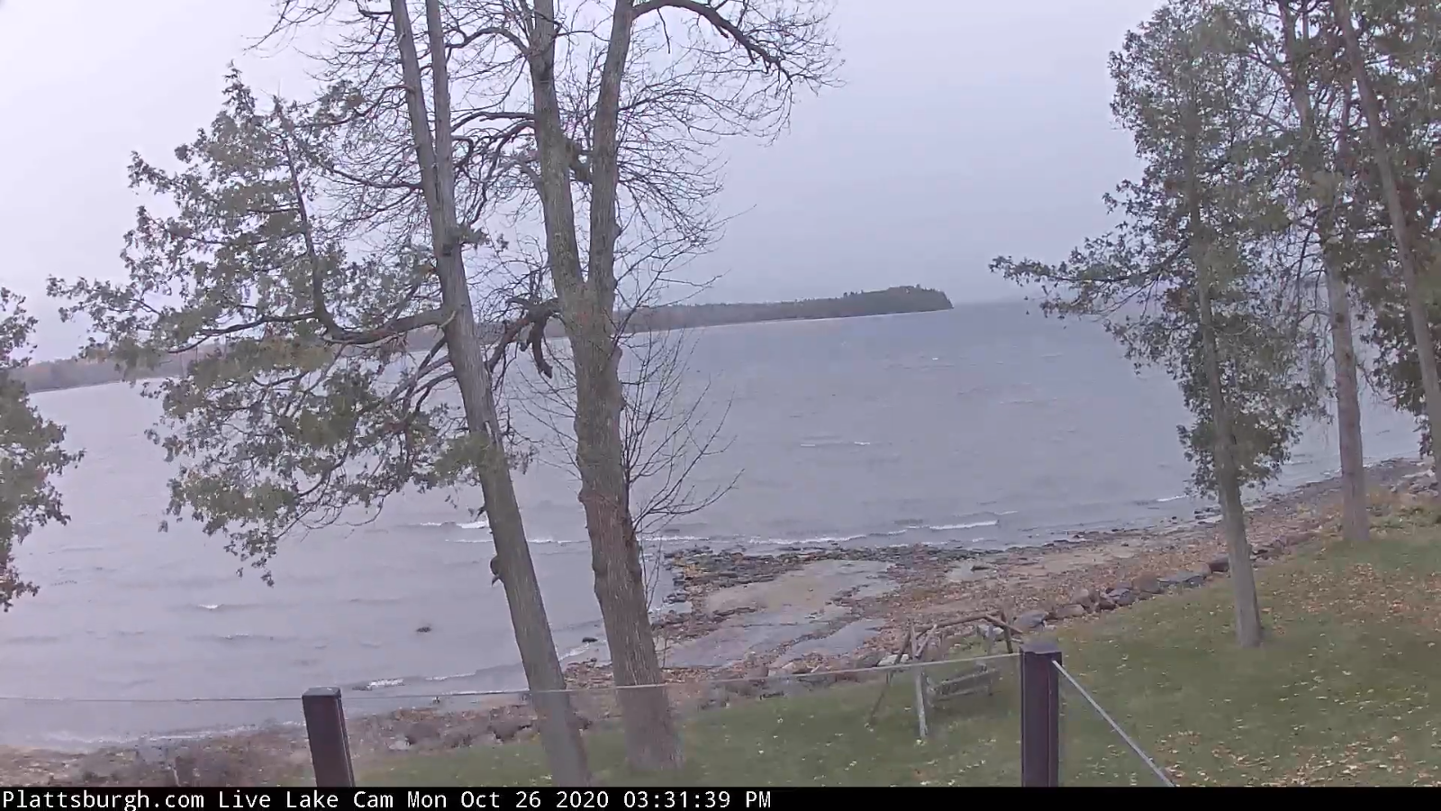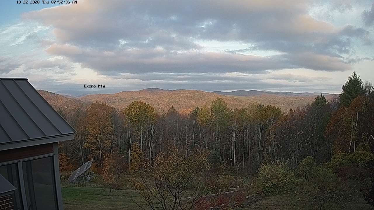
TONIGHT: Scattered rain showers dry up this evening. Otherwise partly to mostly cloudy. A low around 35. Light southwest winds.
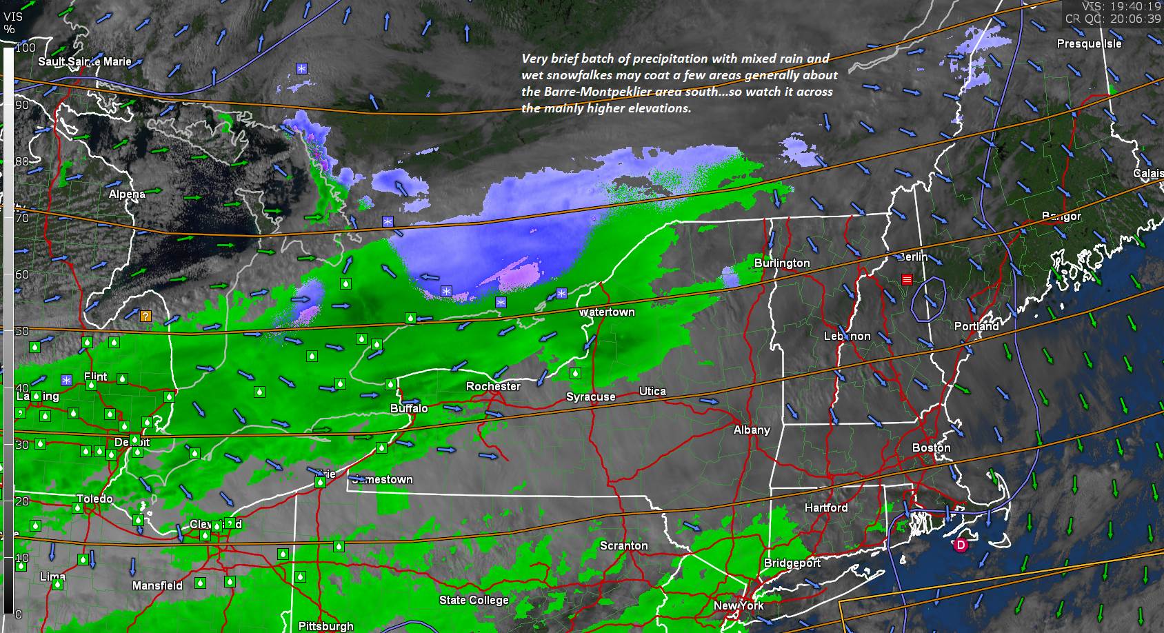
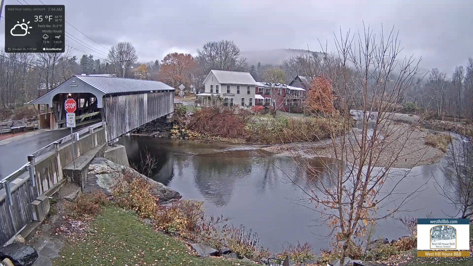
TOMORROW: Lots of clouds. Spotty light rain develops in the afternoon mixed with wet snow flakes elevated terrain. A high 40 to 45. Light north winds.
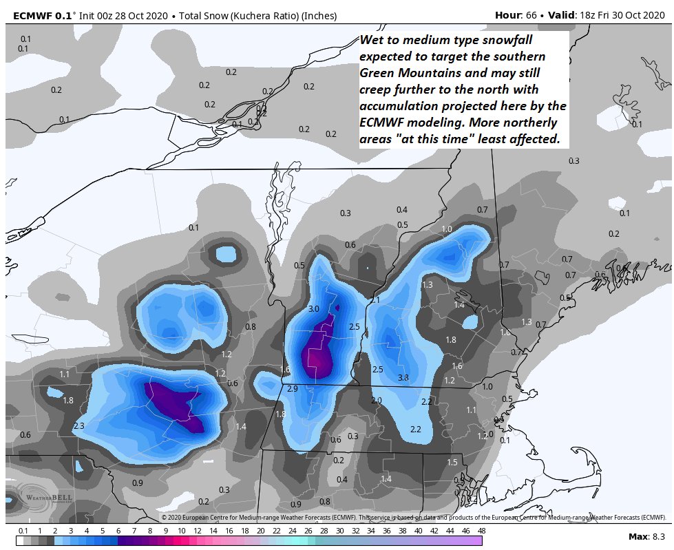
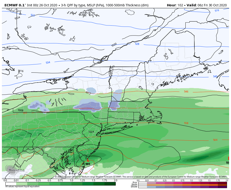
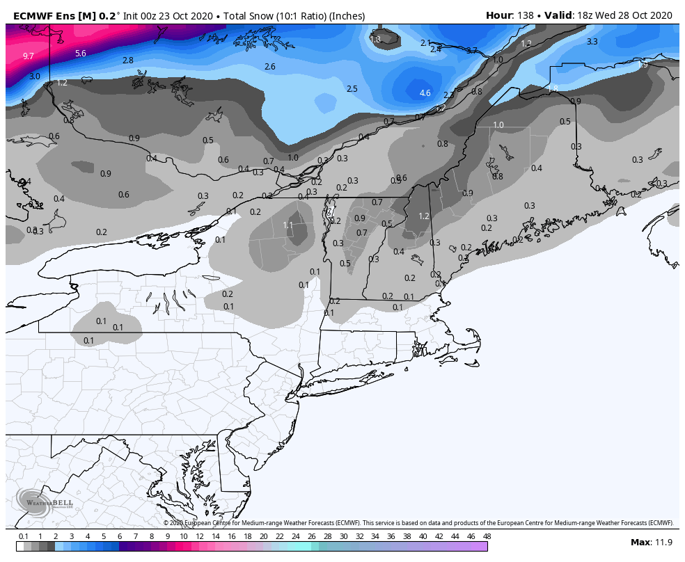
THURSDAY NIGHT: Rain…changes to accumulating wet snow. Dusting to 3” northern and central areas, with up to 6”higher southern Greens. A low mid-20s. North breeze 10 mph.
FRIDAY: Occasional light snow or snow showers exiting in the morning. Increasingly sunny in the afternoon.A high mid to upper 30s. North winds 10 mph.
Looking further ahead…
FRIDAY NIGHT: Mostly clear with patchy valley fog. Cold and frosty. A low upper teens to low 20s
SATURDAY: Blue skies and bright sunshine. Chilly. A high around 40.
SUNDAY: Filtered sunshine followed by lots of clouds. A rising chance for rain showers in the afternoon. A low near 25. A high upper 40s.
MONDAY: Variably cloudy. Lake Effect snow showers and flurries. Some minor accumulation elevated terrain. A low 20 to 25. A high in the mid-40s.
Average low ranging upper 20s to mid-30s, Average highs upper 40s to mid-50s.
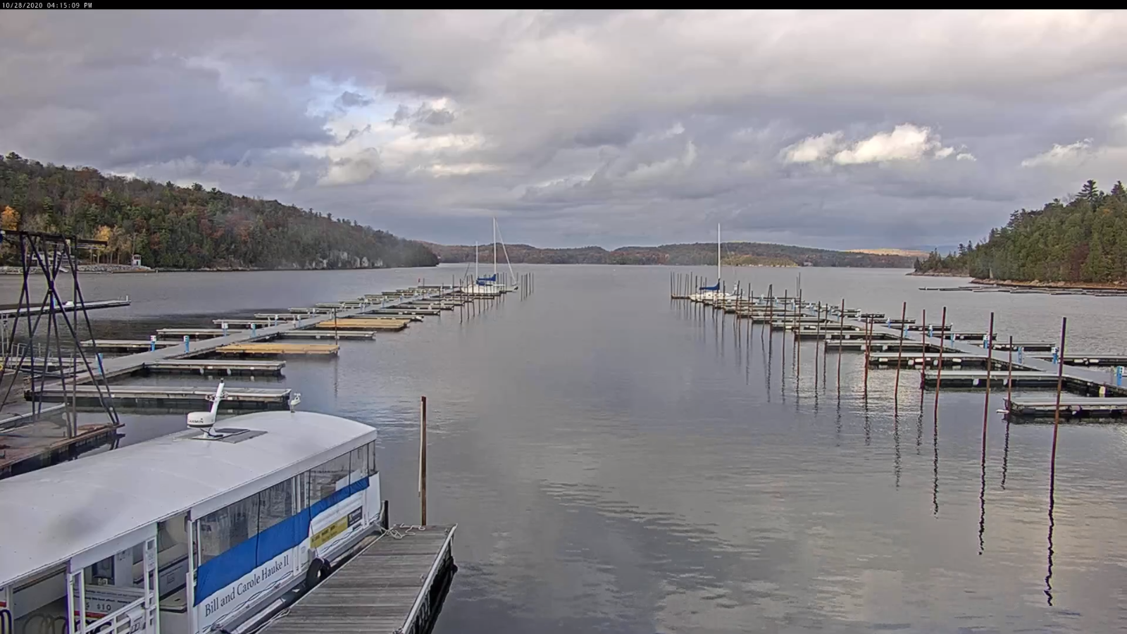
RH/10-28 category forecast][end]