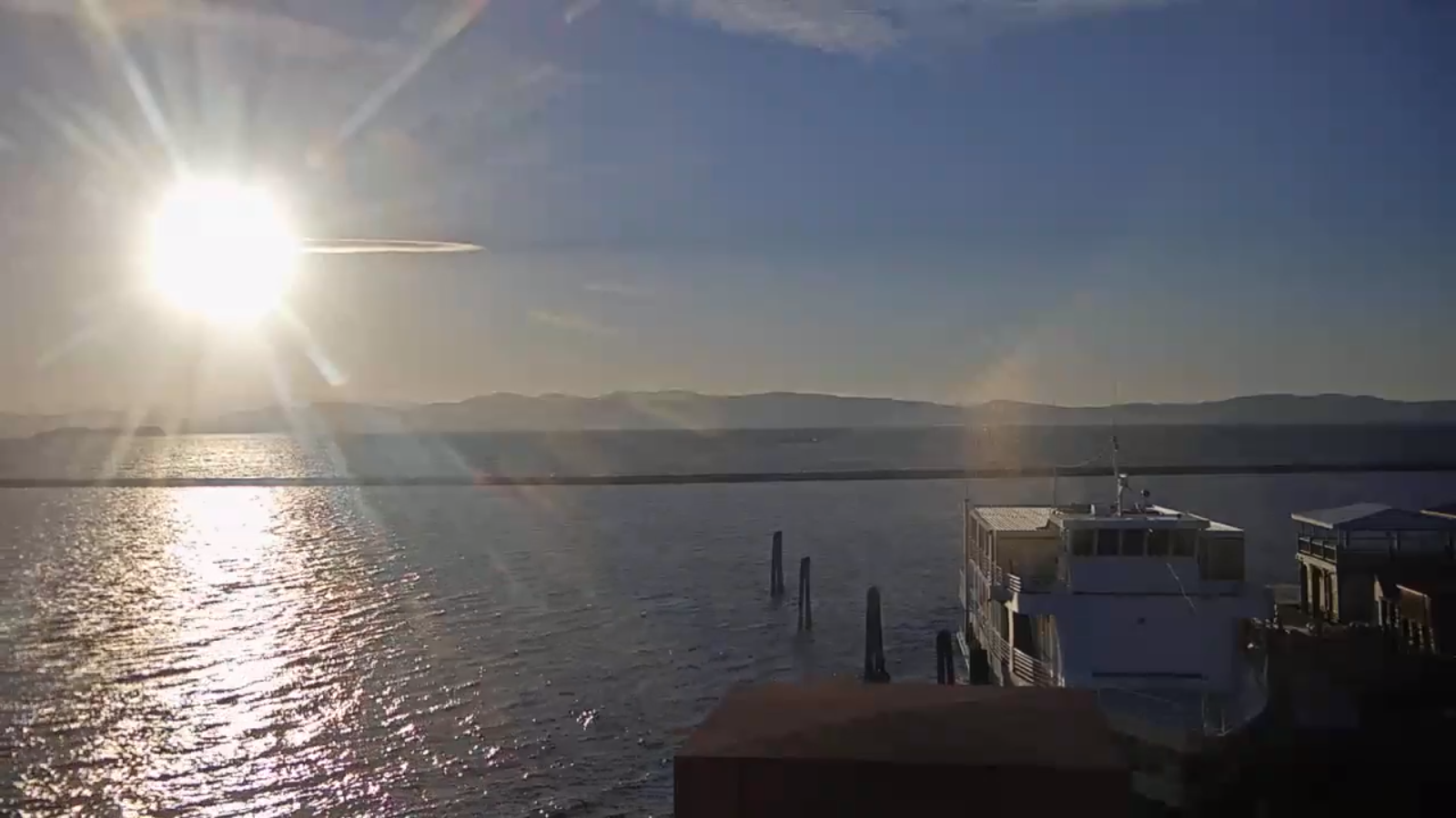
TONIGHT: Mostly clear with isolated valley fog. A low around 35. Light southeast winds.
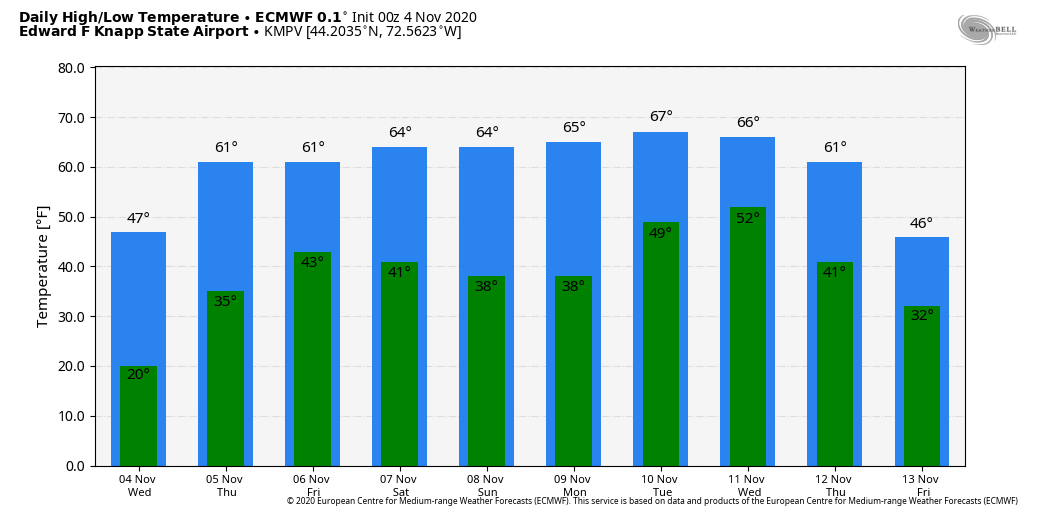
TOMORROW: Filtered sun through high cloudiness. Milder in the afternoon with a few more clouds. A high near 60. South breeze 10 mph.
THURSDAY NIGHT: High cloudiness. A low around 40 to 45. South breeze 10 mph.
FRIDAY: Sunshine filtered by high cloudiness. Mild. A high in the low 60s. Southwest breeze 10 mph.
Looking further ahead…
FRIDAY NIGHT: Variable high cloudiness. A low around 40.
SATURDAY: Mostly sunny. Mild. A high in the mid-60s.
SUNDAY: Mostly sunny. A low near. Remaining mild. A high near 65.
MONDAY: Sunny. Remaining mild. A low in the upper 30s. A high in the mid-60s.
TUESDAY: Sunshine gives way to clouds and slight chance for a shower. A low around 50. A high upper 60s to near 70.

Average low ranging upper 20s to low-30s, Average highs mid-40s to low-50s.
RH/11-4 category forecast][end]