Updated Wednesday Evening Forecast — October 21st, 2020

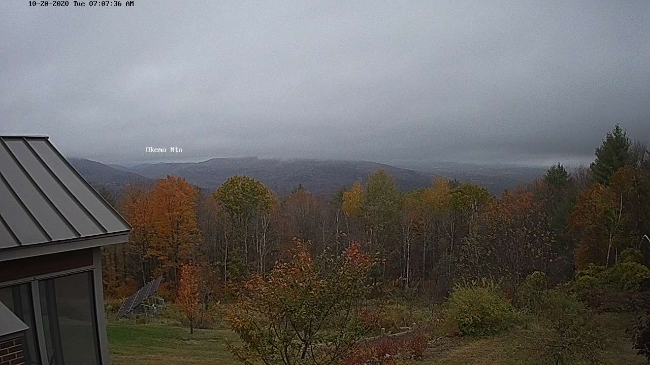
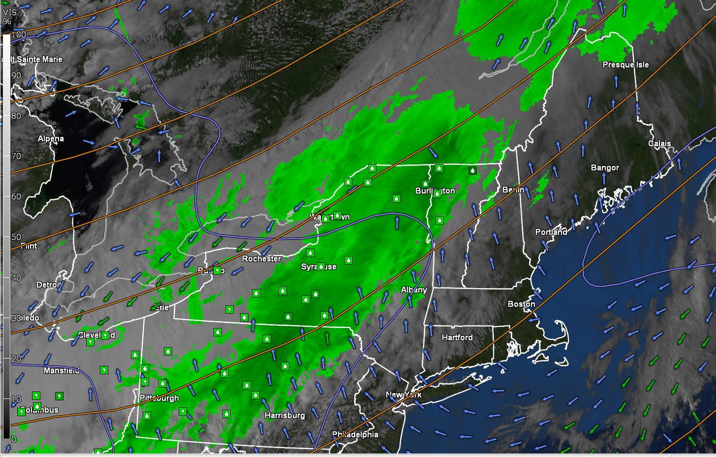
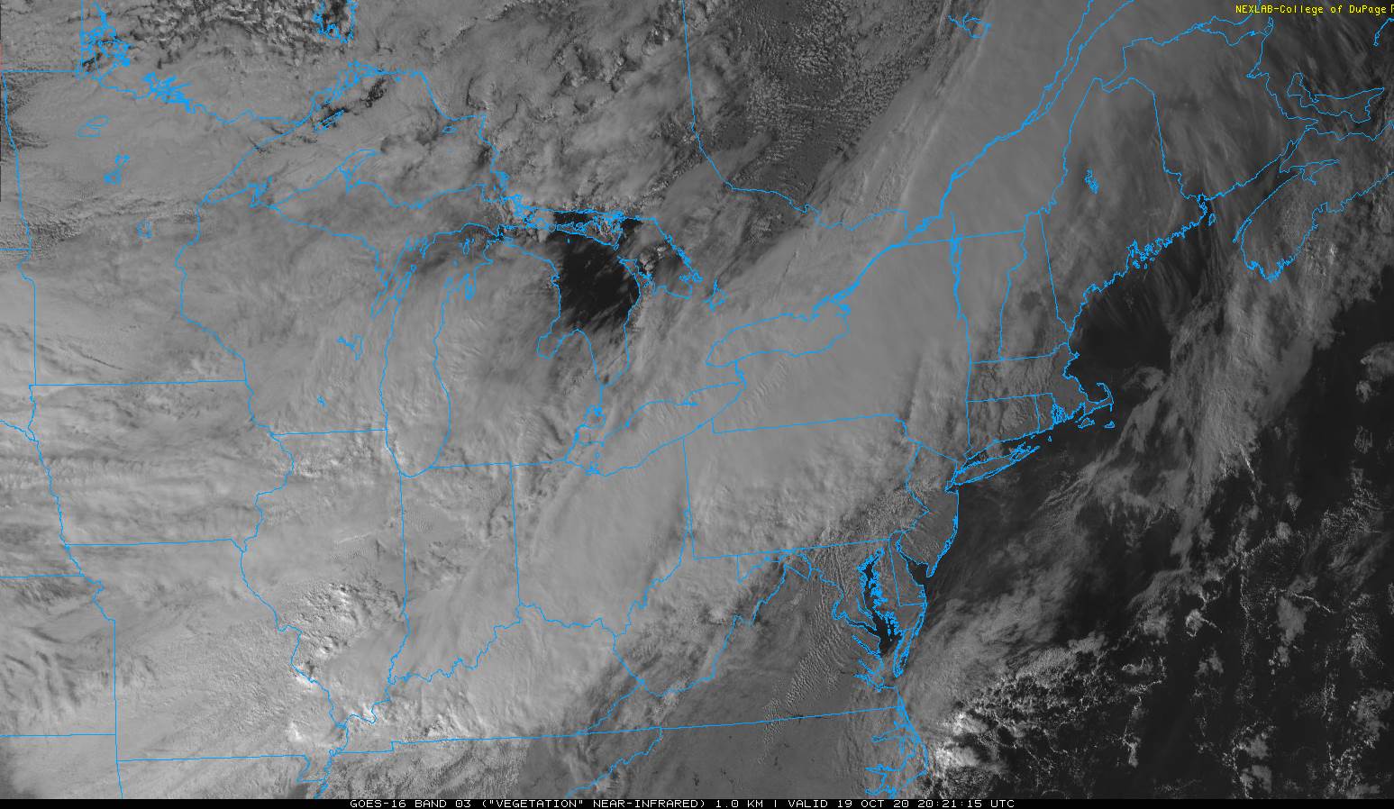
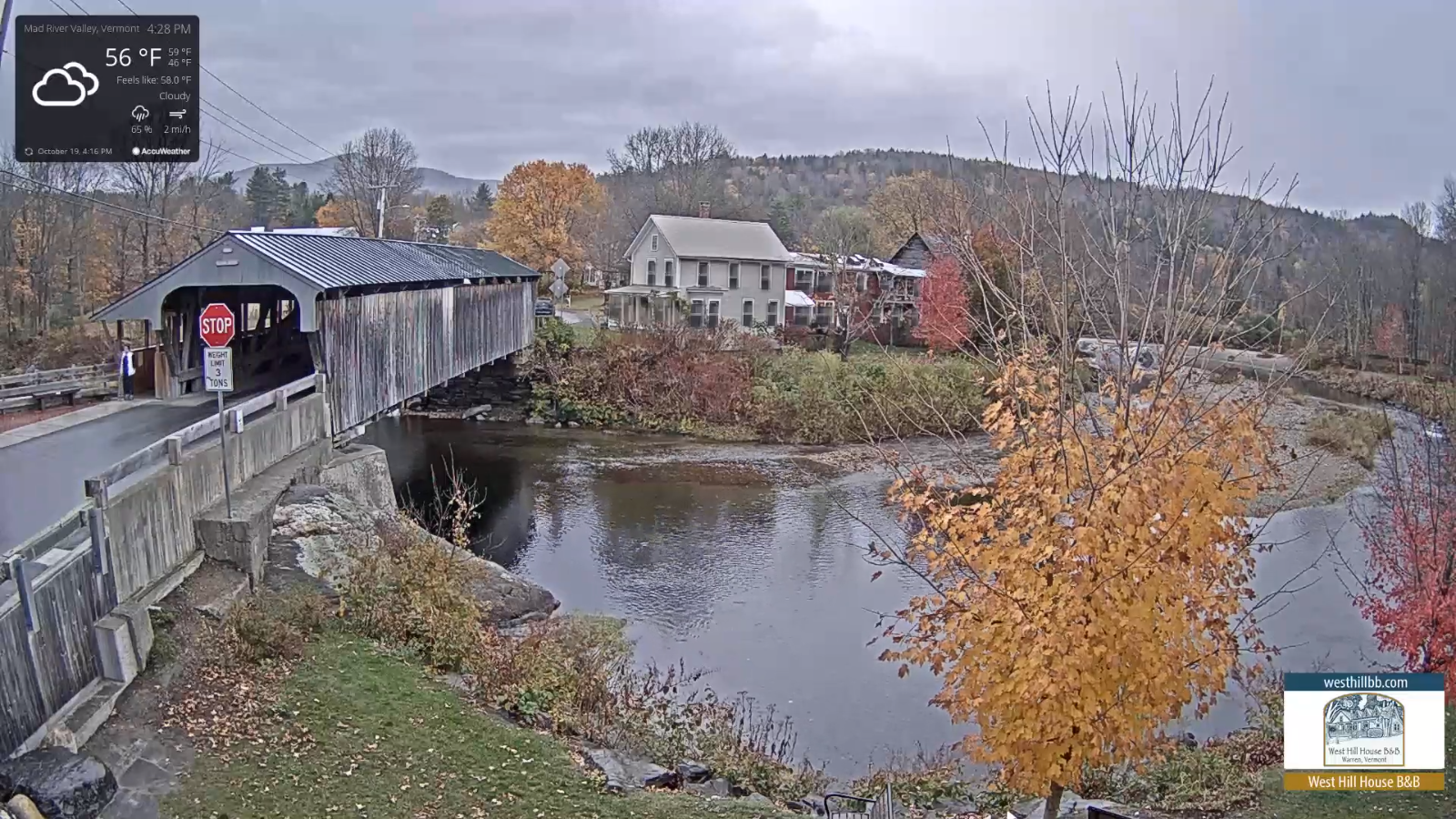
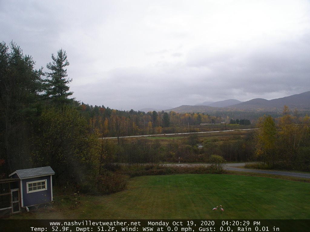
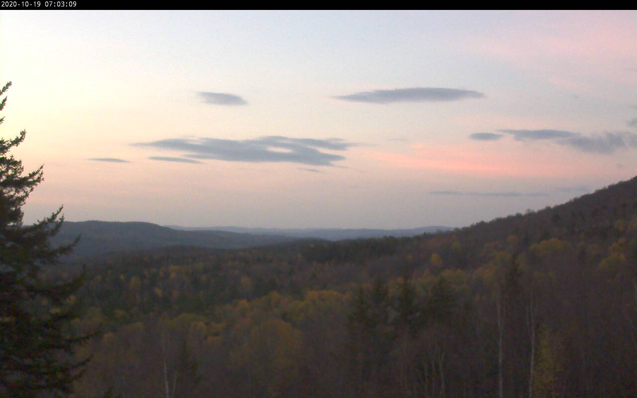
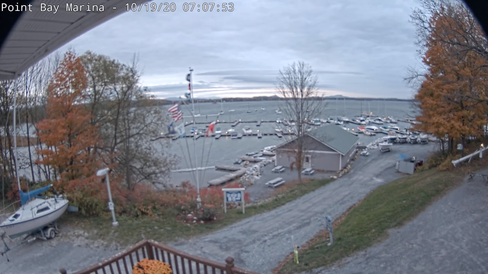
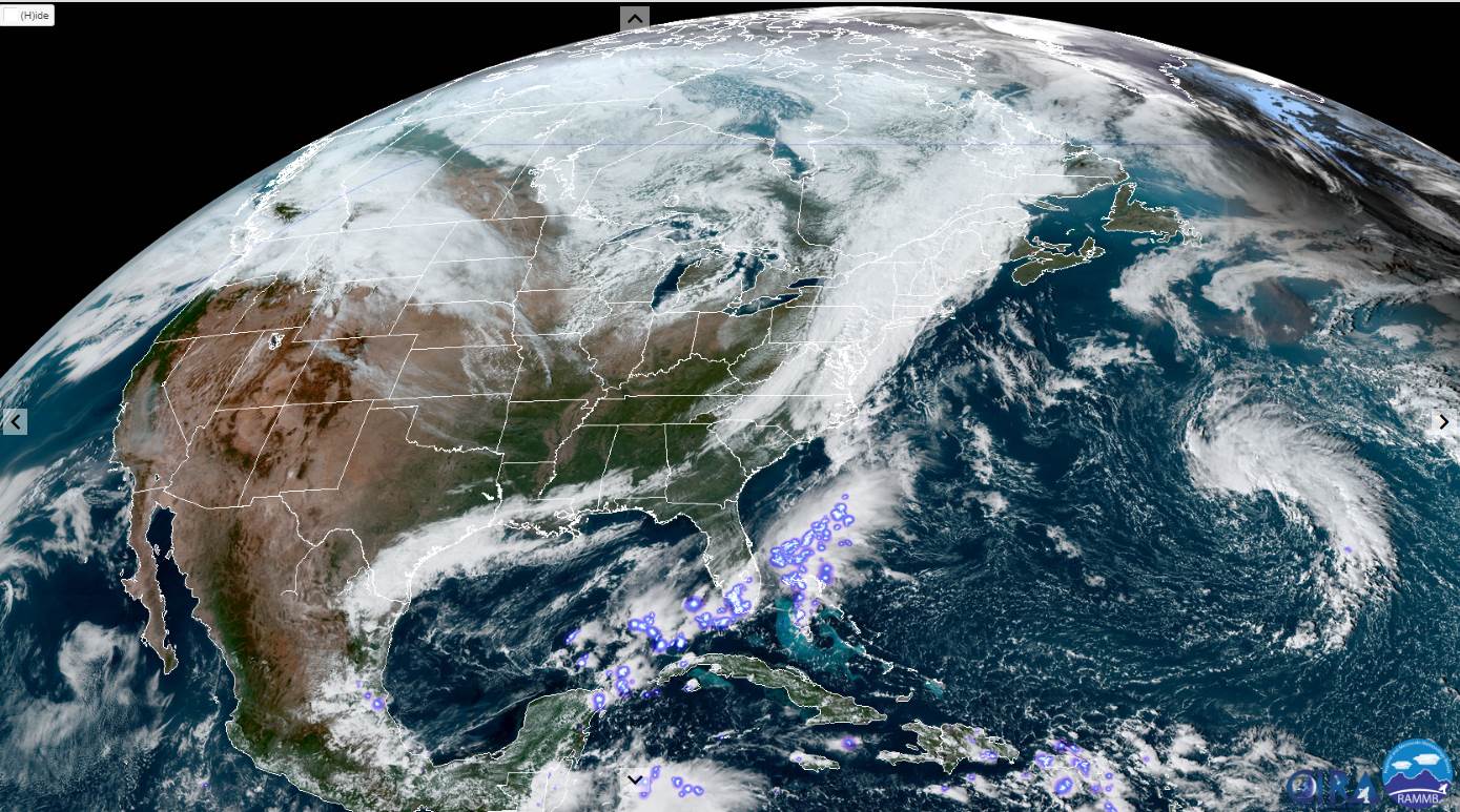
TONIGHT: Scattered showers, maybe a rumble of thunder Champlain valley…winding down later this evening. Otherwise partly cloudy. A low 40 to 45. Southwest winds 10 mph shifting to northwesterly.

TOMORROW: Mixed sun and clouds giving way to more afternoon sunshine. A high in the lower 60s. Light northwest winds.

THURSDAY NIGHT: Cloudy. Spotty light sprinkles or drizzle developing overnight. A low near 45. Light west winds.

FRIDAY: Morning clouds with areas of drizzle or sprinkles dries up, then partly sunny. Breezy at times. A high low to mid 60s. South to southeasterly breeze 10 to 20 mph.

Looking further ahead…

FRIDAY NIGHT: Partly cloudy. A low 40 to 45.

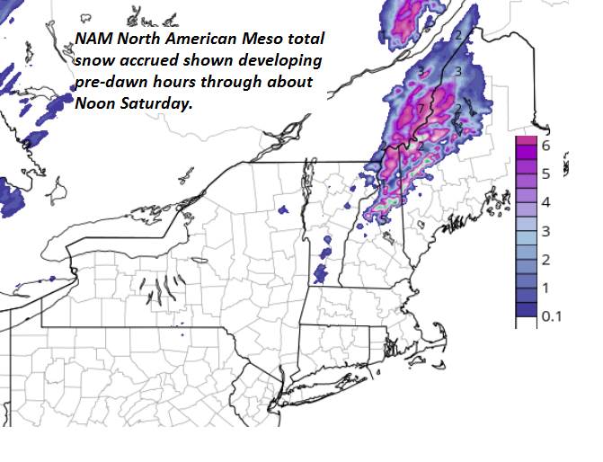
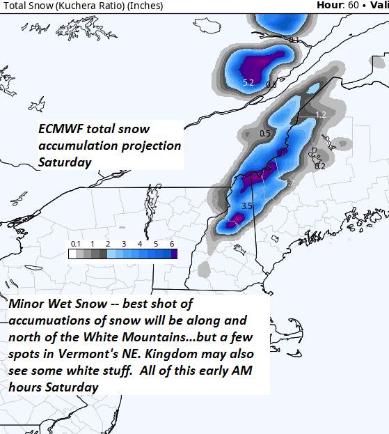
SATURDAY: Becoming mostly cloudy. Scattered light showers. A high in the upper 50s.

SUNDAY: Lots of sunshine. A low near 32. A high in the upper 40s.

MONDAY: Gray & breezy. Chance for periods of rain or showers. A low 30 to 35. A high 50 to 55.

TUESDAY: Chance for a morning showers…exiting to partial sunshine. A low in the upper 30s. A high in the mid-50s.

Average low ranging thru the low to mid 30s, Average highs in the low to mid 50s.

RH/10-20category forecast][end]

Updated Wednesday Morning forecast — October 21st, 2020

TODAY: Chance for a few showers toward the Champlain Valley northern areas, otherwise clouds with possible breaks of sun central and southern areas. Breezy at times. A high around 65. South breeze 10 to 25 mph, stronger Lake Champlain.

TONIGHT: A round of showers…moderate at times…with a risk for few rumbles of thunder this evening, otherwise becoming partly cloudy. A low 40 to 45. Southwest winds 10 mph shifting to northwesterly.

THURSDAY: Mixed sun and clouds giving way to more afternoon sunshine. A high in the lower 60s. Light northwest winds.

Looking further ahead…

THURSDAY NIGHT: Lows cloudiness with a chance for some spotty drizzle. A low near 45.

FRIDAY: Pick of the week. Morning clouds, slight chance for spotty drizzle…then increasing amounts of sunshine. Breezy at times. A high pushing to near 65.

SATURDAY: Becoming mostly cloudy. Chance for scattered light passing showers. A low around 45. A high around 60.

SUNDAY: Partly to mostly sunny. A low near 32. A high mid to upper 40s.

Average low ranging thru the low to mid 30s, Average highs in the low to mid 50s.

RH/10-20category forecast][end]

Updated Tuesday Evening Forecast — October 20th, 2020

TONIGHT: Cloudy. Spotty light rain and drizzle especially southern areas spreading north again overnight. A low around 45. Light north to northeast winds.

TOMORROW: Lingering showers mainly near the Canadian border, otherwise clouds with possible breaks of sun. Showers, maybe a rumble of thunder Champlain Valley developing early evening. Breezy to windy at times. A high 60 to 65. South winds 10 to 25 mph and stronger near Lake Champlain.

WEDNESDAY NIGHT: A round of showers maybe a rumble of thunder in the evening, otherwise becoming partly cloudy. A low 40 to 45. Southwest winds 10 mph shifting to northwesterly.

THURSDAY: Mixed sun and clouds giving way to more afternoon sunshine. A high around 60. Light northwest winds.

Looking further ahead…

THURSDAY NIGHT: Variable cloudiness. A low near 45.

FRIDAY: Pick of the week. A few morning clouds then mostly sunny. Breezy at times. A high pushing to near 65.

SATURDAY: Becoming mostly cloudy. Chance for a round of showers. A low around 45. A high around 60.

SUNDAY: Sunshine filtered by high clouds late. A low near 32. A high mid to upper 40s.

Average low ranging thru the low to mid 30s, Average highs in the low to mid 50s.

RH/10-20category forecast][end]

Updated Tuesday morning Forecast — October 20th, 2020

TODAY: Cloudy. Periods of rain or showers this morning, tapering to scattered light showers or sprinkles this afternoon. A high 55 to 60. South winds shifting to northwest 10 to 15 mph this afternoon.

TONIGHT: Lots of clouds. Spotty light rain especially southern areas spreading north again overnight. A low around 45. Light north to northeast winds.

WEDNESDAY: Considerable cloudiness. Lingering morning showers mainly northern areas redeveloping later in the afternoon. Breezy to windy far northern areas. A high 60 to 65. South winds 10 to 25 mph and stronger near Lake Champlain.

Looking further ahead…

WEDNESDAY NIGHT: Scattered evening showers exiting, otherwise becoming partly cloudy. A low mid to upper 40s.

THURSDAY: Mixed sun and clouds giving way to more afternoon sunshine. A high upper 50s to around 60.

FRIDAY: Pick of the week. A few morning clouds then mostly sunny. Breezy at times. A low near 45. A high pushing to near 65.

SATURDAY: Becoming mostly cloudy. Chance for a round of showers. A low around 45. A high mid to upper 60s.

SUNDAY: Filtered sun early then increasing high cloudiness. A low in the mid-30s. A high upper 40s to near 50.

Average low ranging thru the low to mid 30s, Average highs in the low to mid 50s.

RH/10-20category forecast][end]

Updated Monday Evening Forecast — October 19th, 2020

TONIGHT: Showers…winding down after midnight, otherwise cloudy & damp. A low upper 40s. Light southeast winds.

TUESDAY: Cloudy. Periods of rain early, winding down to scattered sprinkles in the afternoon. A high in the mid to upper 50s. South winds shifting to northwest 10 to 15 mph late.

TUESDAY NIGHT: Mostly cloudy. Spotty light rain redevelops overnight. A low 40 to 45. Light northeast winds.

WEDNESDAY: Overcast. Showers likely & breezy to windy. A high upper 50s to around 60. South winds 10 to 25 mph and stronger near Lake Champlain.

Looking further ahead…

WEDNESDAY NIGHT: Scattered evening showers exiting, otherwise becoming partly cloudy. A low near 40.

THURSDAY: Mixed sun and clouds giving way to more afternoon sunshine. A high near 60.

FRIDAY: Pick of the week. A few morning clouds then mostly sunny. A low 40 to 45. A high 60 to 65.

SATURDAY: Becoming mostly cloudy. Chance for showers. A low around 45. A high in the mid-60s.

Average low ranging thru the low to mid 30s, Average highs in the low to mid 50s.

RH/10-19category forecast][end]

Updated Monday morning Forecast — October 19th, 2020

TODAY: Brief morning sun followed by thickening clouds. Showers become likely late this morning Champlain Valley overspreading the region this afternoon. A high around 55. Light south winds.

TONIGHT: Rain showers winding down after midnight, otherwise cloudy. A low upper 40s to around 50. Light southeast winds.

TUESDAY: Cloudy. Periods of rain developing in the morning. Showery in the afternoon exiting late. A high in the mid to upper 50s. Southwest winds shifting to northwest 10 mph.

Looking further ahead…

TUESDAY NIGHT: Mostly cloudy. Spotty light rain likely overnight. A low in the mid-40s.

WEDNESDAY: Mainly cloudy. Good chance for showers. A high upper 50s to around 60.

THURSDAY: Pick of the week. Mixed sun and clouds. A low around 45. A high in the low to mid 60s.

FRIDAY: Clouds and intervals of afternoon sunshine. A low in the 40s. A high mid-60s to near 70.

Average low ranging thru the low to mid 30s, Average highs in the low to mid 50s.

RH/10-19category forecast][end]

Updated Friday Evening Forecast — October 16th, 2020

TONIGHT: Periods of rain…moderate at times…especially east of the Green Mountains. Wet snow to mix in with accumulation of an inch or two higher terrain of the Northeast Kingdom. A low in the upper 30s. Light northwest winds.

TOMORROW: Periods of morning rain with wet snow high terrain…exiting to partial afternoon sunshine. Blustery. A high around 50. Northwest winds pick up 10 to 20 mph in the afternoon.

SATURDAY NIGHT: Mostly clear and frosty. A low near 32. Light south winds.

SUNDAY: Morning sun then cloudy periods developing. Seasonable. A high mid-50s. South winds pick up 10 to 15 mph but stronger over Lake Champlain.

Looking further ahead…

SUNDAY NIGHT: Fair early, then increasing clouds overnight. A low near 45

MONDAY: Gray. Good chance for an occasional shower. A high near 55.

TUESDAY: Lots of clouds with chance for lingering showers eventually drying up. A low around 45. A high around 55.

WEDNESDAY: Variable clouds. Chance for lingering showers southern areas. A low in the mid to upper 30s. A high in the mid 50s.

Average low ranging thru the 30s, Average highs in the low to mid 50s.

RH/10-16 category forecast][end]

Updated Friday morning Forecast — October 16th, 2020

TODAY: Gray & dreary. Occasional spotty light rain…picking up eastern areas in the afternoon. Temperatures holding in the low to mid 50s. Light winds.

TONIGHT: Periods of rain…moderate at times east of the Greens. Wet snow accumulation possible above 2000 ft. late especially Northeast Kingdom. A low in the upper 30s. Light northwest winds.

SATURDAY: Periods of morning rain with wet snow high terrain…exiting to partial afternoon sunshine. Blustery. A high around 50. Northwest winds pick up 10 to 25 mph in the afternoon.

Looking further ahead…

SATURDAY NIGHT: Mostly clear and frosty. A low around 32.

SUNDAY: Morning sun then cloudy periods developing. Seasonable. A high mid-50s.

MONDAY: Gray. Good chance for an occasional shower. A low near 45. A high around 55.

TUESDAY: Lots of clouds with chance for lingering showers eventually drying up. A low around 45. A high around 55.

WEDNESDAY: Variable clouds. Chance for lingering showers southern areas. A low around 40. A high 55 to 60.

Average low ranging thru the 30s, Average highs in the low to mid 50s.

RH/10-16 category forecast][end]

Updated Thursday Evening Forecast — October 15th, 2020

TONIGHT: Fair early then clouding up. Showers developing northwestern areas spreading southeast by midnight. A low 45 to 50. Light winds become northwesterly.

TOMORROW: Gray & dreary. Occasional spotty light rain…picking up eastern areas in the afternoon. A high in the upper 50s. Light winds.

FRIDAY NIGHT: Periods of rain…moderate at times east of the Greens. Wet snow accumulation possible above 2000 ft. late especially Northeast Kingdom. A low near 40. Light northwest winds.

SATURDAY: Periods of morning rain with wet snow high terrain…exiting to partial afternoon clearing. Blustery. A high around 50. Northwest winds pick up 10 to 25 mph in the afternoon.

Looking further ahead…

SATURDAY NIGHT: Mostly clear and frosty. A low around 32.

SUNDAY: Morning sun then cloudy periods developing. Seasonable. A high mid-50s.

MONDAY: Morning clouds with a chance for a shower. Partial afternoon sunshine. A low near 45. A high in the low 50s.

TUESDAY: Thickening clouds leading to a chance for showers. A low in the low 40s. A high near 60.

WEDNESDAY: Partly to mostly sunny. A low near 50. A high near 70.

Average low ranging thru the 30s, Average highs in the mid-50s to upper 50s

RH/10-15 category forecast][end]