
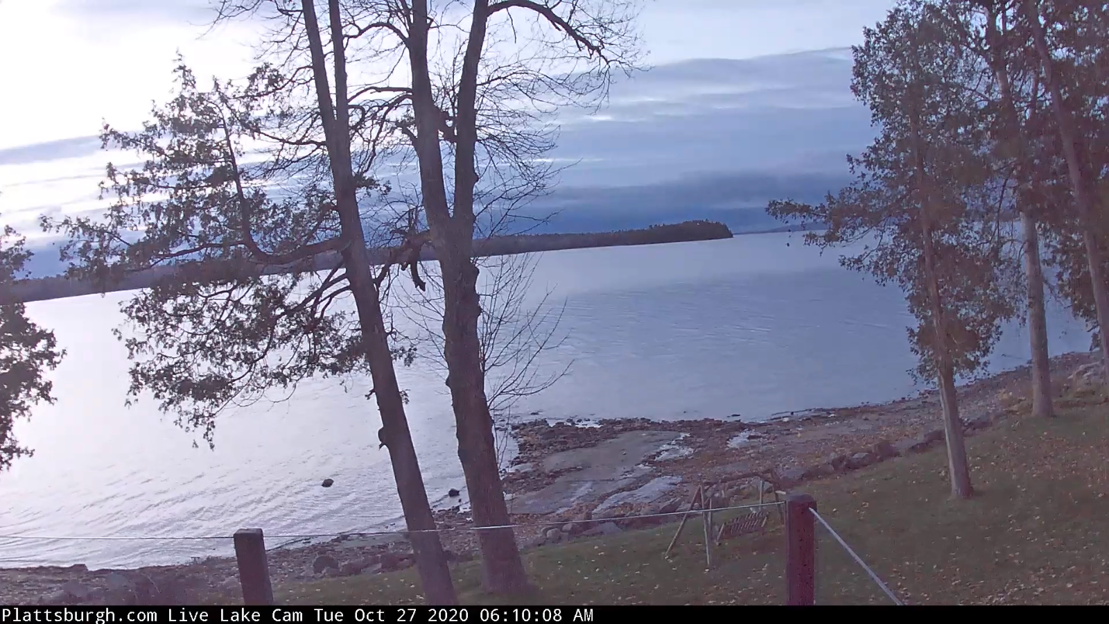
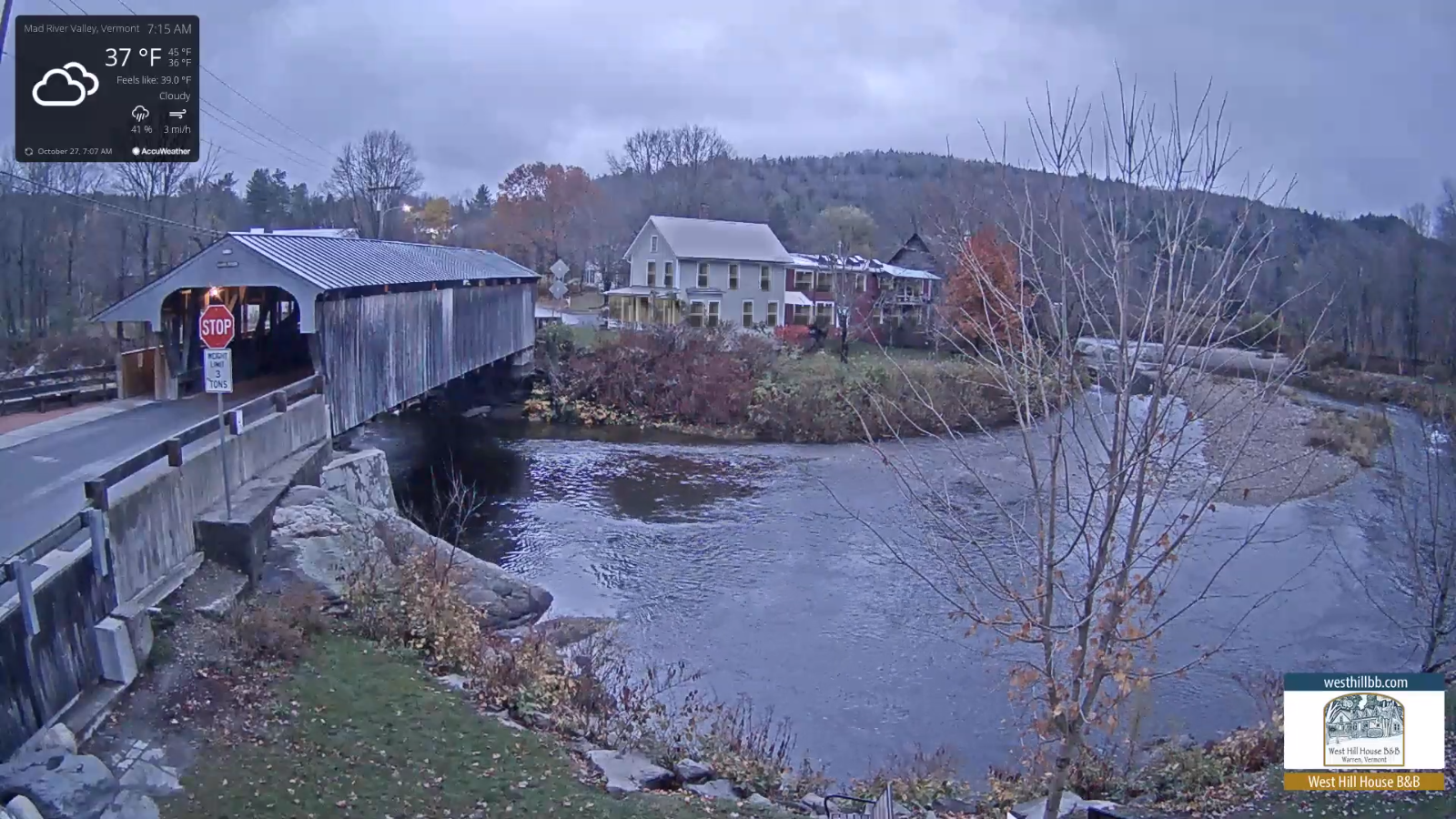
TODAY: Clouds with some hints of sun developing away from the mountains. A high near 45. Northwest winds 10 mph.
TONIGHT: Scattered clouds to mostly clear. A low upper 20s to low 30s. Light southeast winds.
WEDNESDAY: Clouds, with possible breaks of sun. Widely scattered mountain sprinkles. A high in the mid to upper 40s. Southwest breeze 10 to 20 mph.
Looking further ahead…
WEDNESDAY NIGHT: Mostly clear. A low in the low to mid 30s.
THURSDAY: Morning sunshine, then thickening clouds. Chance for a shower of rain or wet snow developing late southern areas. A high in the mid-40s.
THURSDAY NIGHT: Chance for rain showers…changing to accumulating wet snow. A couple/few inches possible especially high terrain. A low near 30.

FRIDAY: Overcast. Chance for snow…possible moderate accumulation especially southern Vermont exiting late. Temperatures holding in the low 30s.
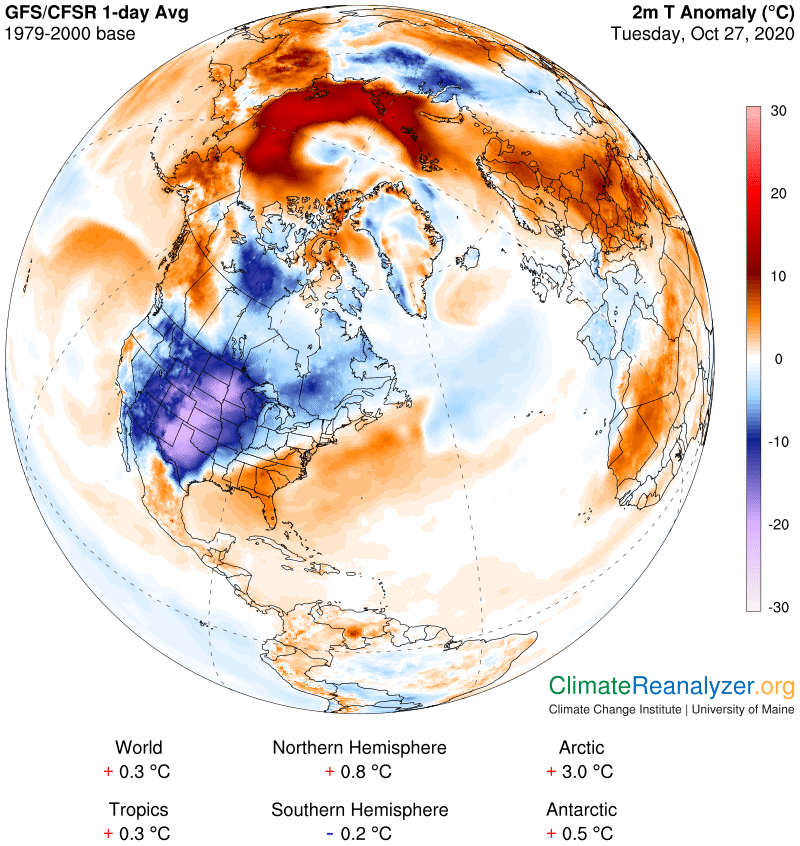
SATURDAY: Partly to mostly sunny but well below normal in temperature. A low around 20. A high only around 35 or about 15 to 20 degrees below normal.
Average low ranging upper 20s to mid-30s, Average highs 50 to 55.
RH/10-26category forecast][end]
