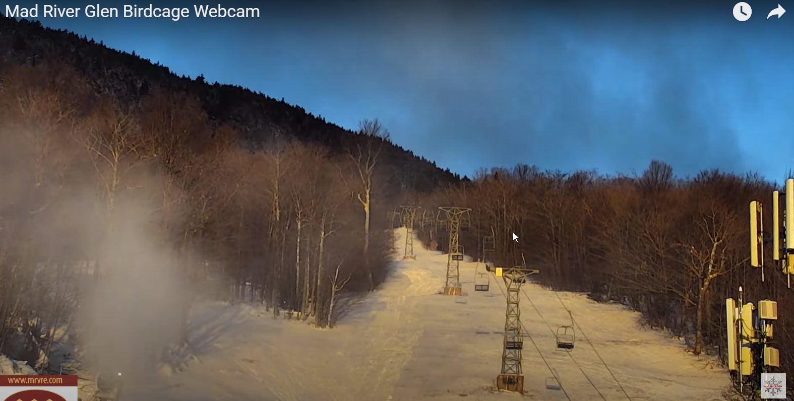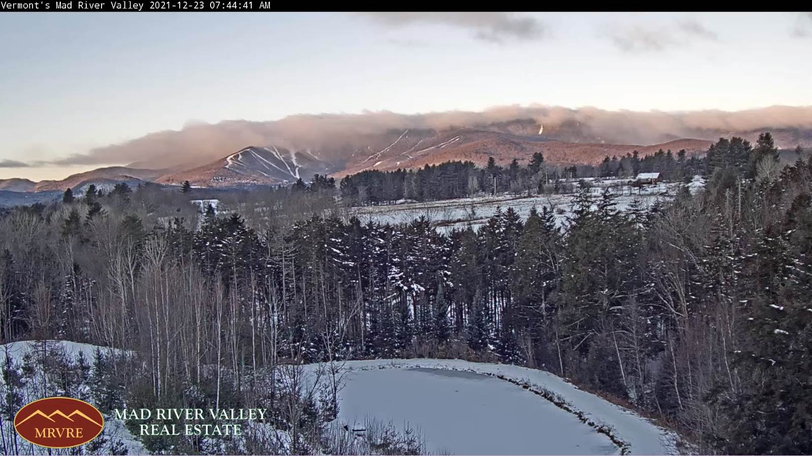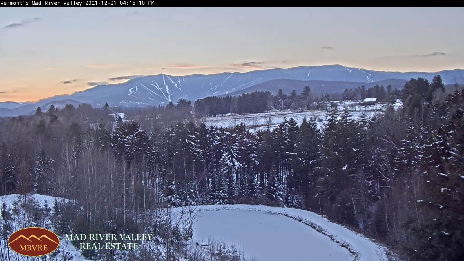
TODAY: Mixed sun and clouds. A high around 25. Little wind.
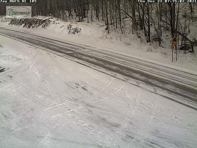
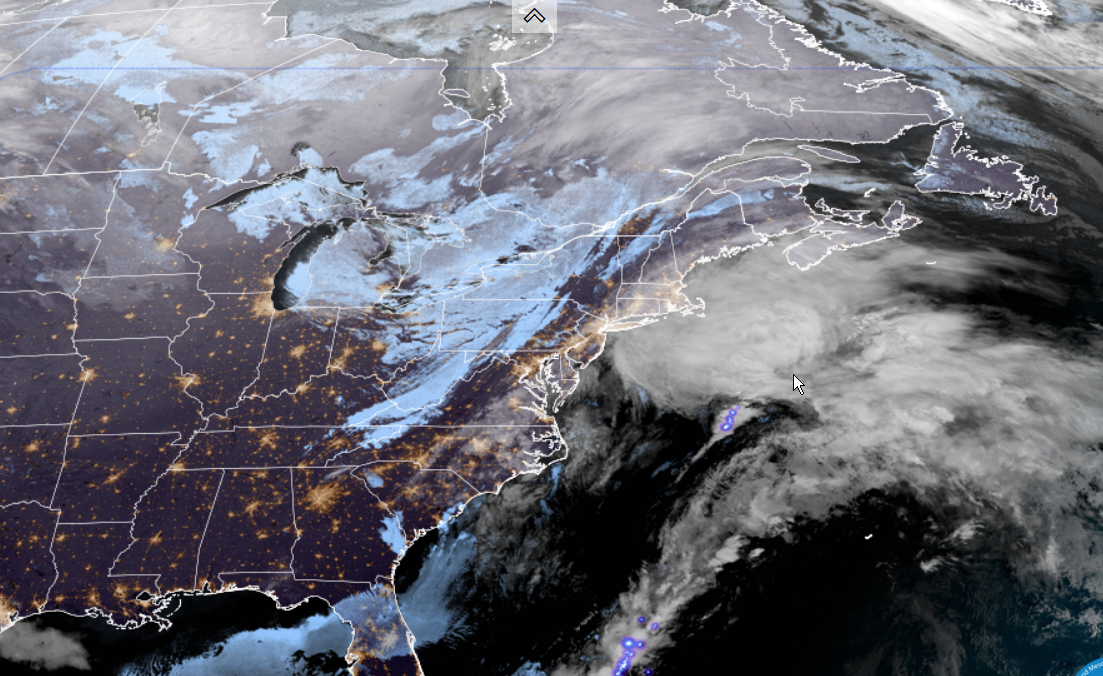
Winter Weather Advisory 10 PM Friday evening…through Christmas Day Saturday…until Sunday 8 AM.
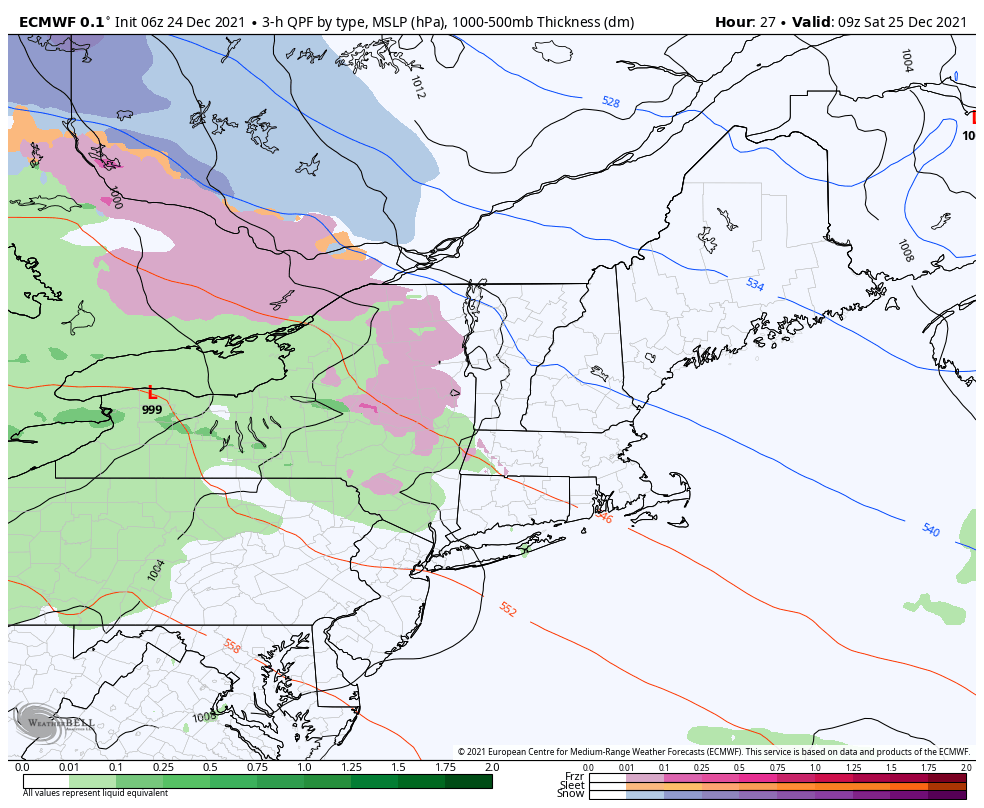
TONIGHT CHRISTMAS EVE: Fair this evening. Thickening clouds…with freezing rain or a wintry mix becoming likely after midnight. Hazardous travel conditions toward daybreak with minor sleet and snow accumulation and light icing. An evening low 5 to 15 above. Little wind.
SATURDAY CHRISTMAS DAY: Gray. Periods of light freezing rain or a wintry mix with hazardous travel. A high 32 Northeast Kingdom to mid-30s western valleys. Light southeast winds.
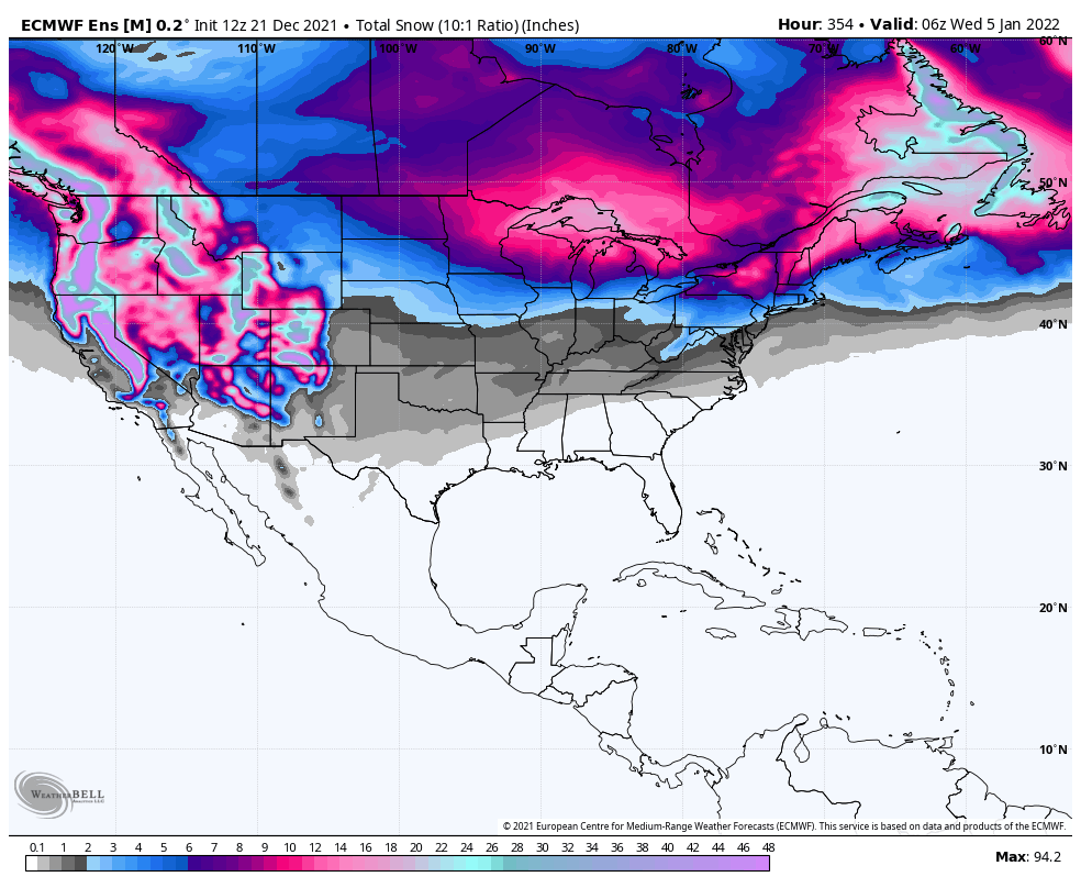
Looking further ahead…
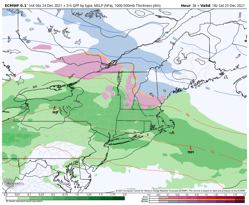
SATURDAY NIGHT: Overcast. A wintry mix with light icing due to freezing rain…changing over to snow. Sleet and snow accumulation around an inch, up to 2 inches especially toward the Northeast Kingdom with light icing. A low in the teens.
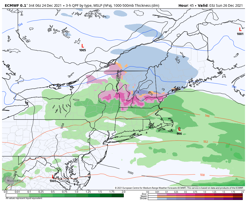
SUNDAY: Mainly gray. Scattered light snow showers or flurries in the morning…and a flare up in the afternoon.. Minor accumulation. A high around 30.
MONDAY: Filtered sunshine then thickening clouds. A chance for snow with a risk of mixed precipitation late. A low near 15. A high near 25.
TUESDAY: Mostly cloudy. Chance for light snow showers or flurries. A low in the teens. A high mid-30s to near 40.
WEDNESDAY: Mostly cloudy. Chance for flurries or snow showers. A low in the 20s. A high in the 30s.
Average upper single digits thru mid-teens. Average highs mid-20s to low 30s
Met winter peaks January 23rd, End of Met. Winter March 9th
RH/12-24forecast][end]