
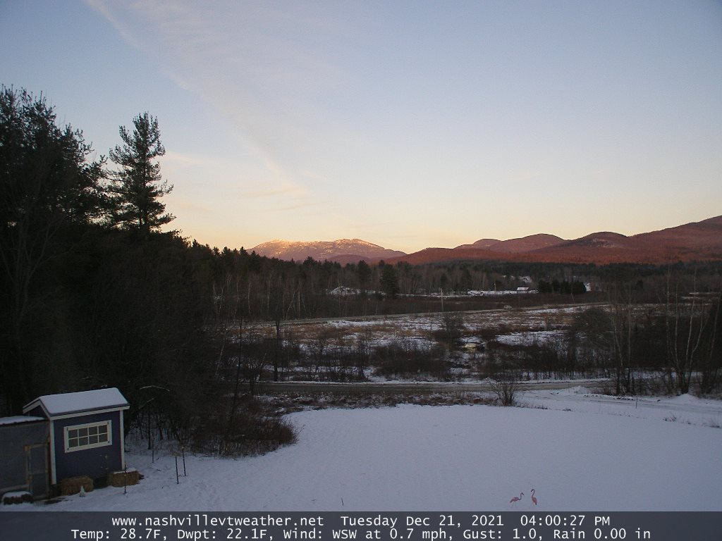
TONIGHT: Mostly clear skies give way to more clouds southern areas. Mixed precipitation develops across southeastern counties making for slick travel. A low ranging thru the teens. Southeast winds 10 mph.
TOMORROW: More clouds than sunshine. Mixed precipitation or light snow….southern and eastern areas in the morning. Minor accumulation making for slick travel. Isolated flurries everywhere in the afternoon. A high around 35. South to southwest breeze 10 mph.
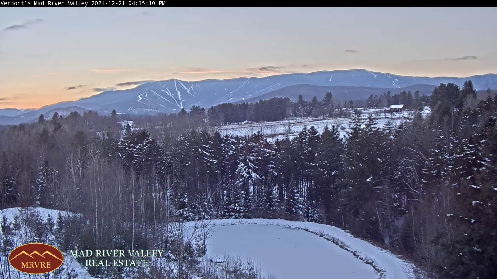
WEDNESDAY NIGHT: Cloudy periods especially in the north. Scattered mountain snow showers/flurries. Minor accumulation northern areas. A low about 5 to 15 above. West to northwesterly winds 10 to 20 mph.
THURSDAY: Mostly cloudy. Scattered snow showers or flurries. Minor accumulation. A high around 30. Northwest winds 10 mph.
Looking further ahead…
THURSDAY NIGHT: Mostly cloudy. Chance for a flurry southern areas. A low in the single digits above zero.
FRIDAY: Periods of morning sun, then increasing clouds. A rising chance for light accumulating snow overnight Friday night. A high mid-20s to near 30.
SATURDAY CHRISTMAS: Overcast. Chance for lingering snow showers in the morning… exiting in the afternoon to partial afternoon sun. A low in the teens. A high 30 to 35.
SUNDAY: Considerable mid and high cloudiness. Blustery at times. A low in the single digits. A high 25 to 30.
MONDAY: Filtered sunshine. A low in the teens. A high in the mid-20s.
Average upper single digits thru mid-teens. Average highs mid-20s to low 30s
Start of Met winter December 12th, Peaks January 23rd, End of Met. Winter March 9th
RH/12-22forecast][end]
