
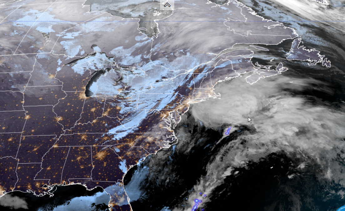
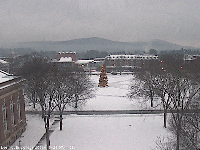
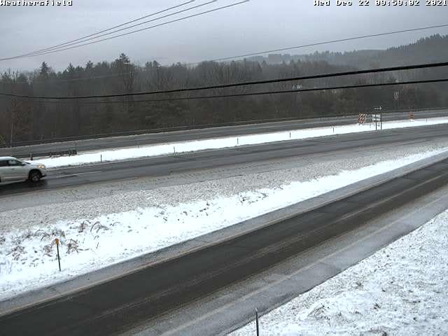
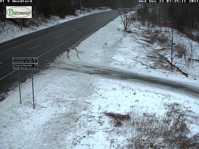
Winter Weather Advisory for Windsor and Windham counties expiring at Noon…
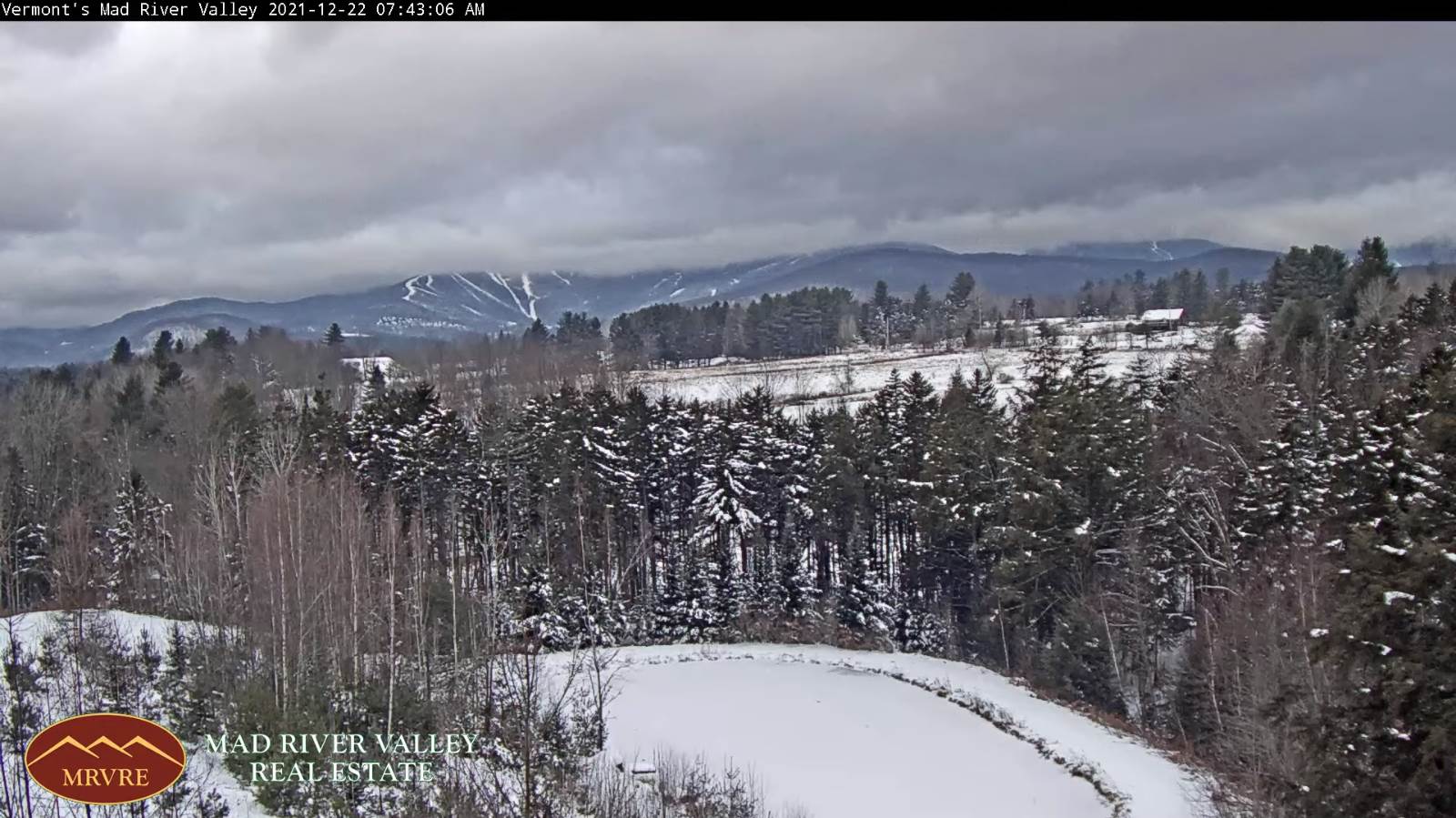
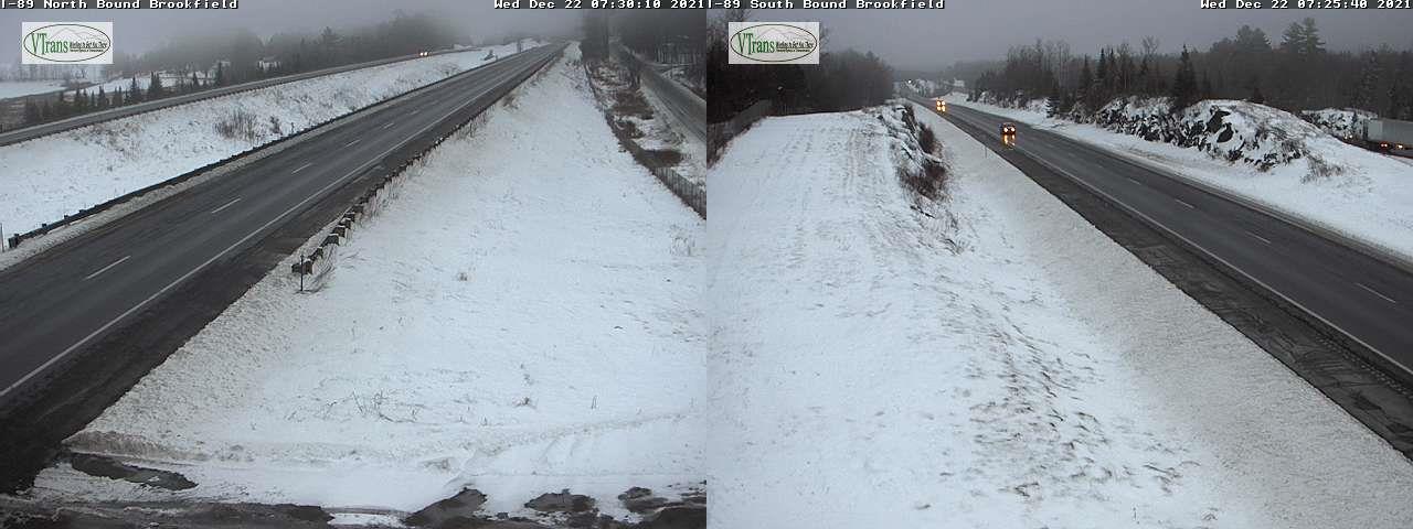
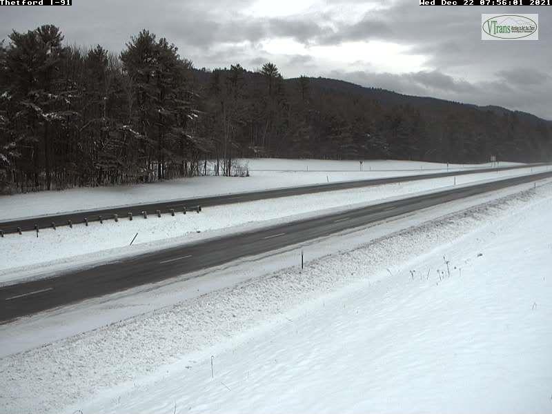
TODAY: Considerable cloudiness. Mixed light snow with spotty freezing rain toward the Connecticut River valley this morning exiting mid-day with slick travel. Maybe a stray flurry late northern areas. A high 35 to 40. South to southwest breeze 10 mph shifting to westerly 10 to 20 mph this afternoon.
TONIGHT: Cloudy periods especially in the north. Scattered mountain snow showers/flurries. Dusting to a half inch. A low 10 to 15. West to northwesterly winds 10 to 15 mph.
THURSDAY: Mostly cloudy. Scattered snow showers or flurries. Minor accumulation. A high low to mid 20s. Light northwest winds.
Looking further ahead…
THURSDAY NIGHT: Mostly cloudy. Scattered snow showers or flurries with a light coating possible southern/western areas. A low in the teens.
FRIDAY: Periods of morning sun, then increasing clouds. A rising chance for light accumulating snow overnight Friday night Christmas Eve. A high 25 to 30.
SATURDAY CHRISTMAS: Overcast. Good chance for occasional accumulating snow showers…exiting later in the afternoon to a couple sprinkles. Accumulation up to couple inches. A low around 15. A high about 35
SUNDAY: Considerable mid and high cloudiness. Blustery at times. A low mid-teens to low 20s. A high 25 to 30.
MONDAY: Filtered sunshine. A low 15 to 20. A high 25 to 30.
Average upper single digits thru mid-teens. Average highs mid-20s to low 30s
Start of Met winter December 12th, Peaks January 23rd, End of Met. Winter March 9th
RH/12-22forecast][end]
