
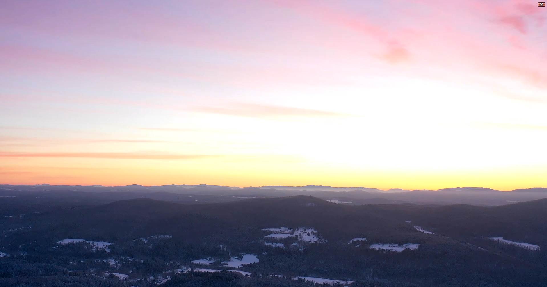
TODAY: Mid and high cloudiness with some hints of sun this morning. Cold. A high mid to upper 20s. Light south winds.
TONIGHT: Cloudy. Scattered light snow showers or flurries developing after midnight with a light coating by morning northern areas. A low upper single digits cold spots otherwise in the teens. South to southwest winds 10 to 15 mph strongest near Lake Champlain.
Winter Solstice 10:58 AM
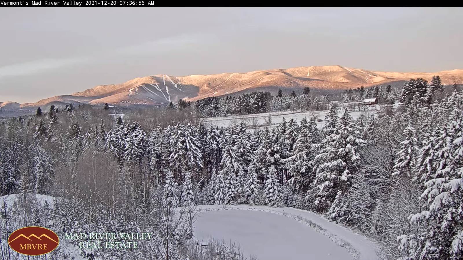
TUESDAY: Mostly cloudy. Scattered snow showers or flurries with minor accumulation. A high near 32 degrees. Light northwest winds.
Looking further ahead…
TUESDAY NIGHT: Variable cloudiness. Cold. A low in the single digits to mid-teens.
WEDNESDAY: Variable cloudiness. Chance for a late day flurry or brief rain showers southern areas. Maybe a few flurries northern areas late. A high 32 to 35 degrees.
THURSDAY: Mostly cloudy. Scattered snow showers or flurries. Minor accumulation. A low in the single digits above zero. A high around 30.
FRIDAY: Clouds mixed with intervals of sun. Maybe a few flurries early. A low single digits to lower teens. A high near 32 degrees.
SATURDAY CHRISTMAS: Overcast. Chance for snow mixing with sleet freezing rain before changing to rain showers. A low 15 to 25. A high mid-30s to near 40.
Average upper single digits thru mid-teens. Average highs mid-20s to low 30s
Start of Met winter December 12th, Peaks January 23rd, End of Met. Winter March 9th
RH/12-20forecast][end]
