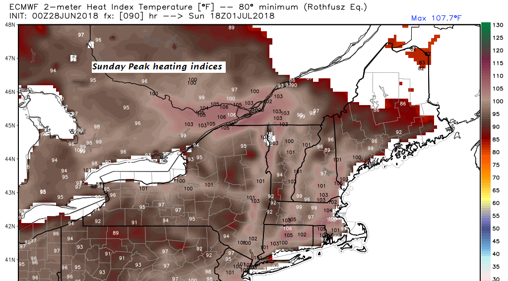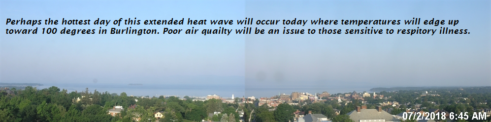
Excessive Heat Warnings and Heat Advisories into the evening…Air Quality Unhealthy for sensitive groups…
TODAY: Morning clouds then mostly sunny, hazy hot and sultry. A high in the mid 90s. Southwest breeze about 10 mph.
TONIGHT: Variably cloudy northern & western areas with isolated evening thunderstorms some briefly strong to locally severe northern and western areas. Sultry. A low 70 to 75. Light south winds.
TUESDAY: Mixed sun and clouds, hot and muggy. Isolated showers and thunderstorms mainly in the morning. A high around 90. Light west winds.
Looking further ahead…
TUESDAY NIGHT: Mostly clear, not quite so uncomfortable for sleeping. A low in the low to mid 60s.
WEDNESDAY 4th of July: Partly to mostly sunny hot and sticky. A high in the mid 90s.
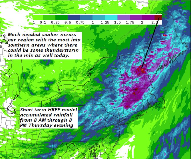
THURSDAY: Mixed clouds and sunshine. Isolated late day evening showers and thunderstorms. A low 65 to 70. A high in the low to mid 90s.
FRIDAY: Mixed clouds and sun. Scattered showers with a chance for strong to locally severe thunderstorms. A low in the mid to upper 60s. A high in the mid to upper 70s.
SATURDAY: Sunshine with few afternoon clouds. A low in the 50s. A high in the 70s.
Average lows in the mid to upper 50s, Normal highs in the mid 70s to around 80.
RH/7-2[end]
| Virus-free. www.avast.com |