
TODAY: Filtered morning sun then clouding up. A rising chance for late afternoon showers toward Rutland-Middlebury. A high in the upper 70s. South winds 10 to 15 mph.
TONIGHT: Cloudy. Showers with areas of fog. A low in the mid 50s. Light southeast winds.
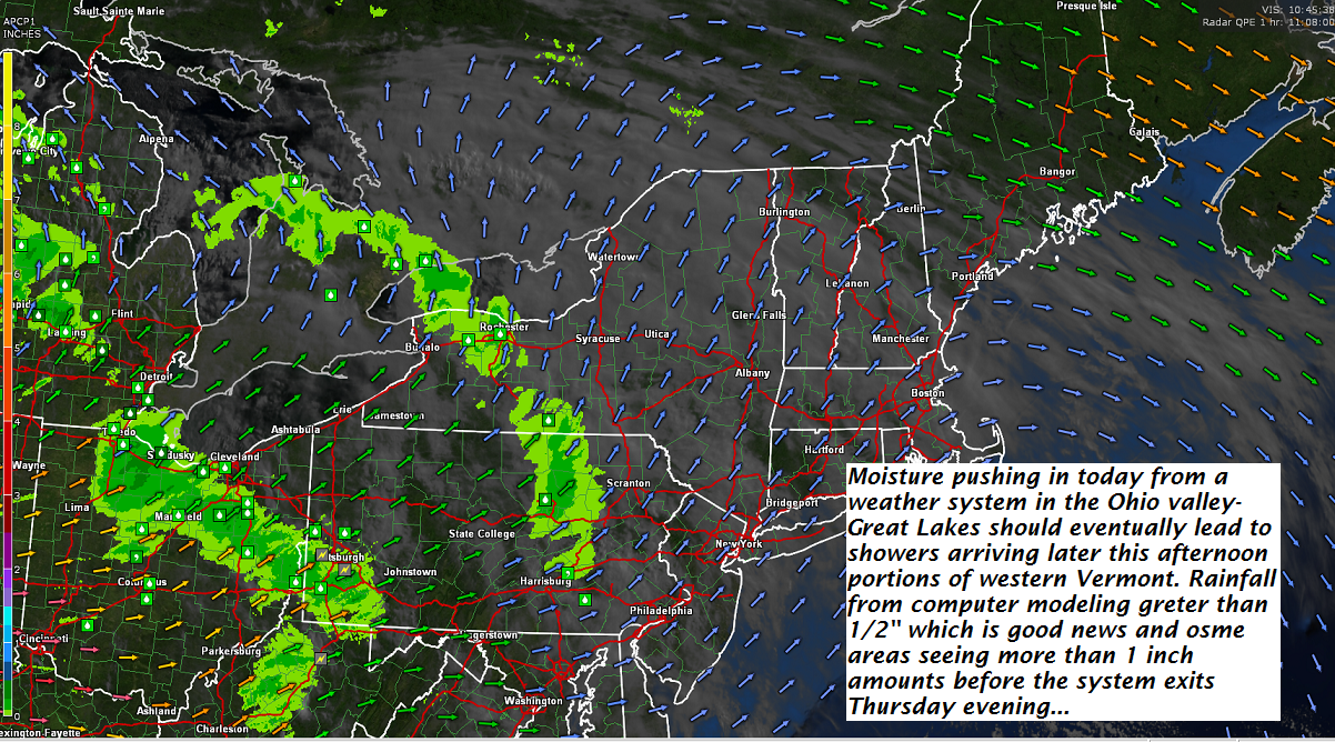
THURSDAY: Gray skies. Frequent showers or periods of rain moderate at times. A few rumbles of thunder especially southern areas. A high 70 to 75. South winds 10 mph.
Looking further ahead…
Full Strawberry Moon 11:53 PM Thursday Evening
THURSDAY NIGHT: Gradual clearing after an early evening sprinkle. A low 50 to 55.
FRIDAY: Mixed clouds and sun. A high around 80.
SATURDAY: Partly to mostly sunny. Hazy hot and humid. A low in the upper 50s. A high 85 to 90.
SUNDAY: Partly to mostly sunny. Hazy hot and very sticky. A low mid 60s to around 70. Near record highs in the mid 90s.
MONDAY: Partly to mostly sunny. Hazy hot and humid. A low 70 to 75. A high around 95!
TUESDAY: Partly to mostly sunny hot and muggy. Widely scattered showers and afternoon thunderstorms. A low 65 to 70. A high 85 to 90.
WEDNESDAY 4th of July: Partly to mostly sunny warm and humid. A low around 65. A high in the mid 80s.
Average lows in the mid 50s, Normal highs in the mid 70s to around 80.
RH/6-27[end]
| Virus-free. www.avast.com |
