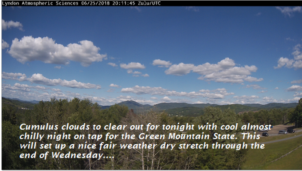
TONIGHT: Mostly clear and partially moonlit with some high clouds. A low 50 to 55. Light south winds.
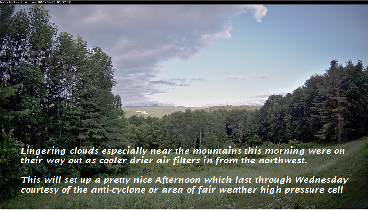
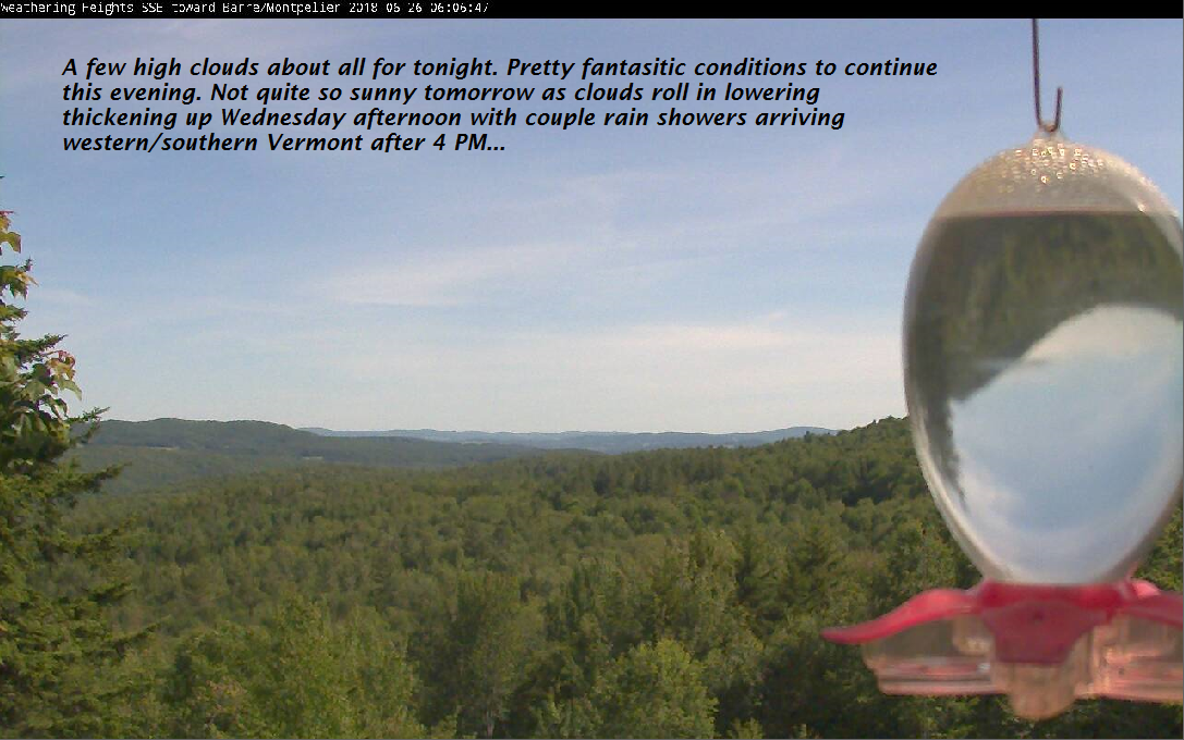
TOMORROW: Filtered sun, gives way to thickening clouds in the afternoon. Chance for late afternoon showers toward Rutland-Champlain Valley. A high in the mid to upper 70s. South winds 10 to 15 mph.
WEDNESDAY NIGHT: Cloudy with showers. A low in the mid to upper 50s. Light southeast winds.
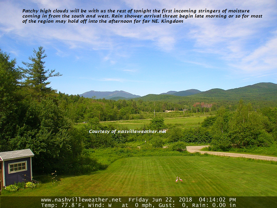
THURSDAY: Lots of clouds. Showers likely with a slight risk for a few rumbles of thunder. A high in the low 70s. south winds 10 mph.
Looking further ahead…
Full Strawberry Moon 11:53 PM Thursday Evening
THURSDAY NIGHT: Gradual clearing after an early evening sprinkle. A low in the mid to upper 50s.
FRIDAY: Mixed clouds and sun. A high in the low 80s.
SATURDAY: Hazy hot and humid. A low in the upper 50s. Becoming hot and sticky. A high near 90.
SUNDAY: Hazy hot and humid. A low mid to upper 60s. Near record highs in the mid 90s.
MONDAY: Hazy hot and humid. A low around 70. A high in the mid 90s.
Average lows in the mid 50s, Normal highs in the mid 70s to around 80.
RH/6-26[end]
| Virus-free. www.avast.com |