
TONIGHT: A few clouds otherwise fully moonlit. A low around 60. Light south winds.
TOMORROW: Partly to mostly sunny. Rising chance for late day thunderstorms northern border areas. Hot and sticky. A high around 90. Southwest breeze 10 to 20 mph.
SATURDAY NIGHT: Variably cloudy and muggy. Widely scattered evening thunderstorm north of the Barre-Montpelier area. A low in the upper 60s to around 70. Light west winds.
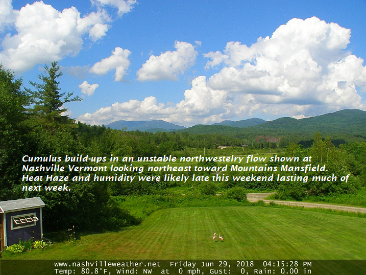
SUNDAY: Partly to mostly sunny. Hazy hot and very sticky. A high 90 to 95. Light winds.
Looking further ahead…
SUNDAY NIGHT: A few clouds otherwise mostly clear. A low around 70.
MONDAY: Partly to mostly sunny. Hazy hot and humid. A high in the mid 90s.
TUESDAY: Partly to mostly sunny hot and muggy. Isolated late day thunderstorms. A low 70 to 75. A high in the low 90s.
WEDNESDAY 4th of July: Partly to mostly sunny continued hot and sticky. A low 65 to 70. A high 90 to 95.
THURSDAY: Mixed clouds and sunshine. A low 65 to 70. A high in the low to mid 90s.
Average lows in the mid to upper 50s, Normal highs in the mid 70s to around 80.
RH/6-29[end]
| Virus-free. www.avast.com |
