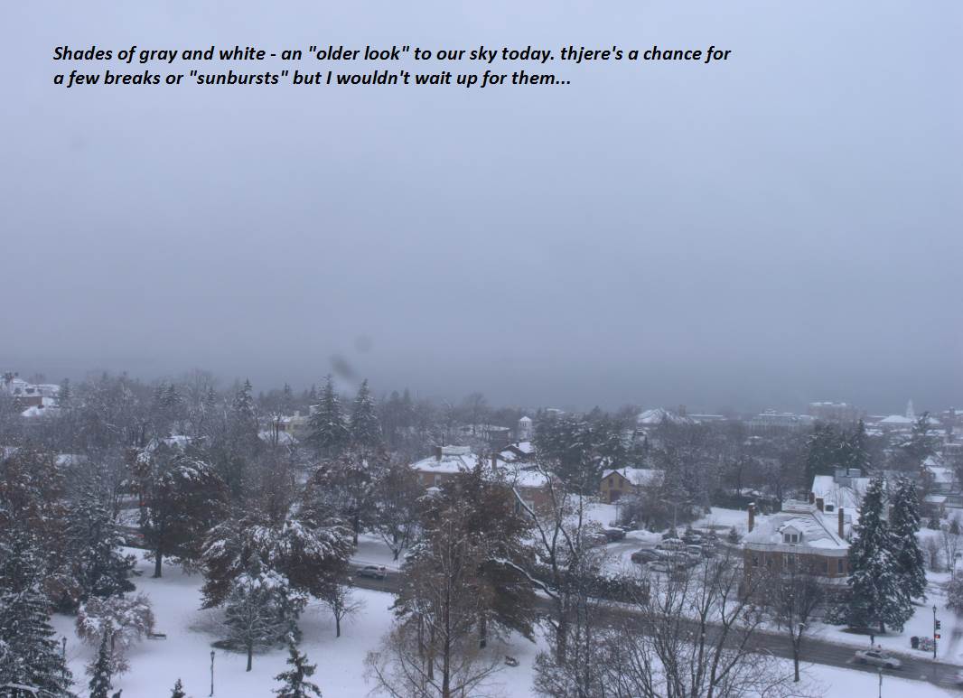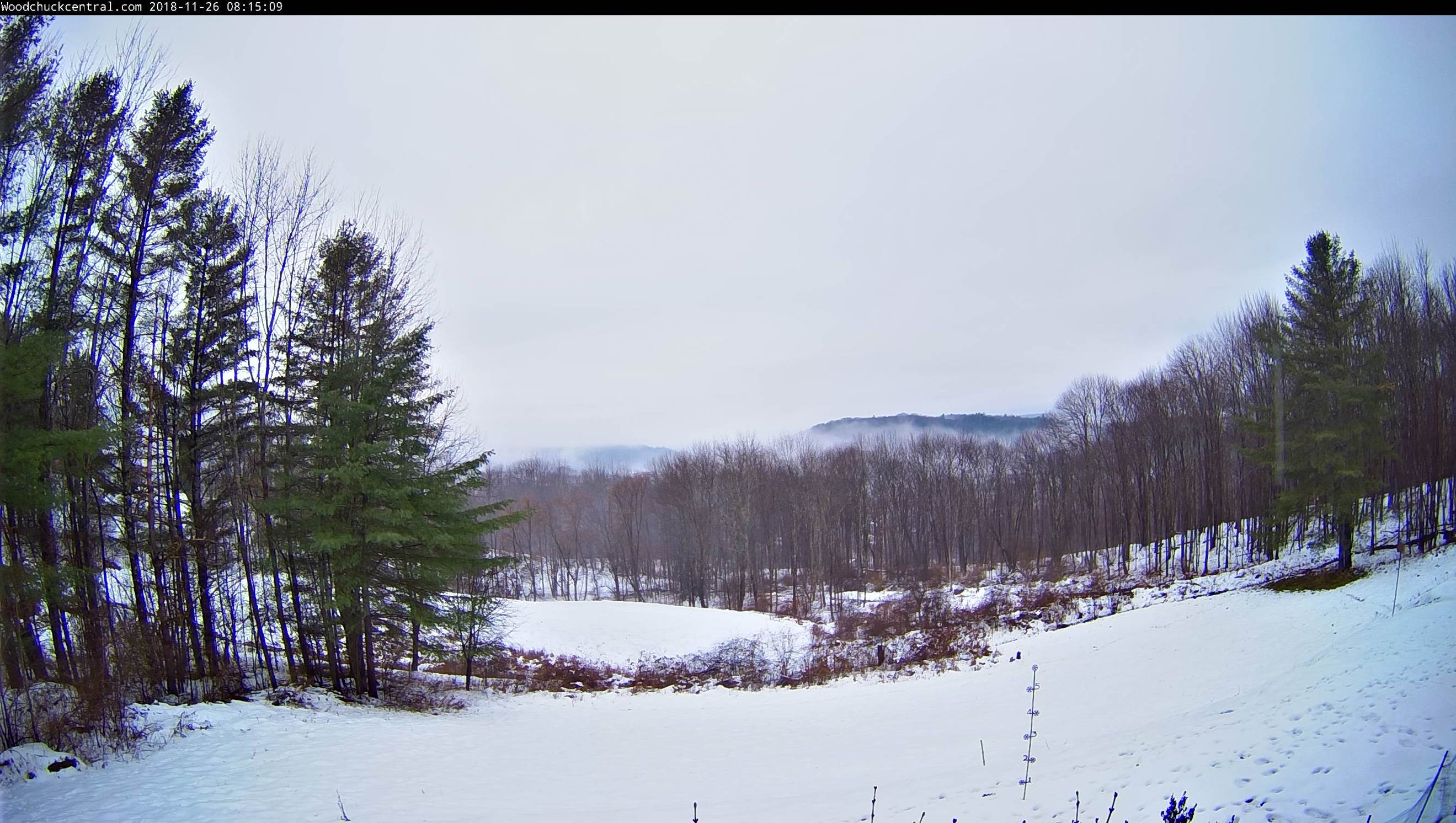
TONIGHT: Lots of clouds. Mountain snow showers winding down as scattered flurries. Additional accumulation western slopes and higher northern terrain dusting to an inch or two. A low in the upper 20s. Northwest winds 10 to 15 mph.
TOMORROW: Mainly cloudy with an isolated mountain flurry early. A high near 32. Northwest winds 10 to 20 mph.
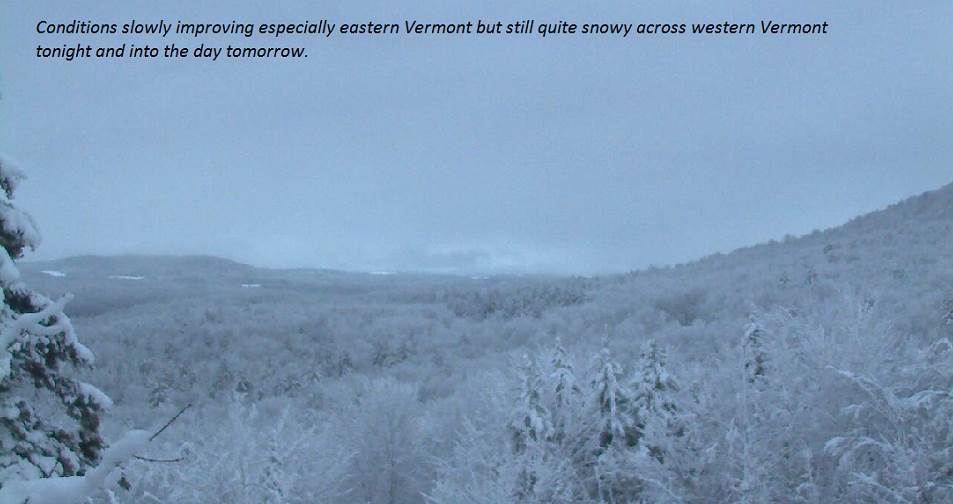
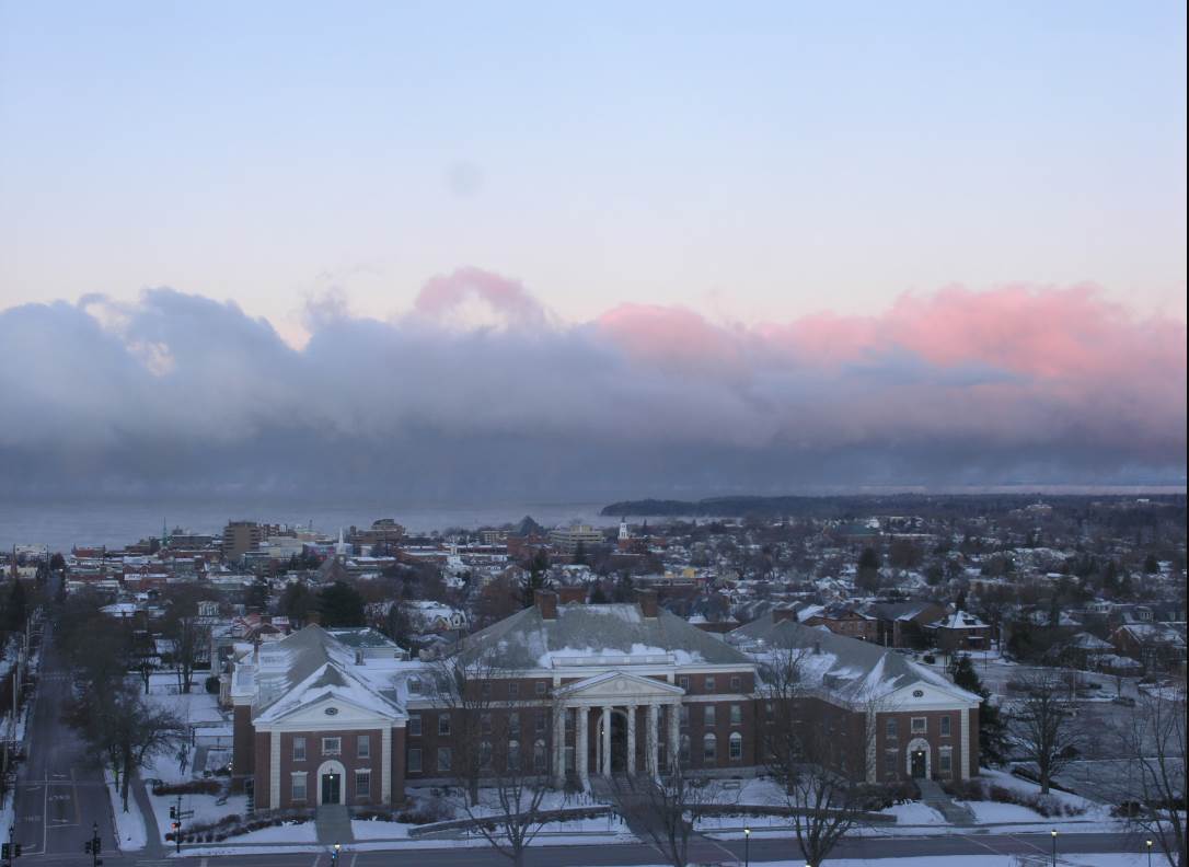
THURSDAY NIGHT: Considerable cloudiness. A low upper 20s to near 30. Light northwest winds.
FRIDAY: Clouds maybe a break or two of sun. Slight threat for a few flurries late. A high near 32. Light northwest winds.
Looking further ahead…
FRIDAY NIGHT: Isolated flurries then partly cloudy. A low 20 to 25.
SATURDAY: “Pick of the weekend” Becoming partly sunny. A high around 32.
SUNDAY: Chance for mixed precipitation with poor travel early…changing over to all rain in the afternoon. A low in the upper 20s. A high in the upper 30s to low 40s.
MONDAY: Mostly cloudy. Scattered rain showers mixed with wet snow higher terrain. A low in the mid 30s. A high 40 to 45.
Average lows 20 to 25. Average highs upper 30s to low 40s.
RH/11-28-18[end]