
Winter Weather Advisory will expire at 7 PM
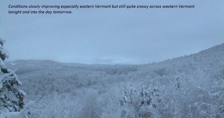
TONIGHT: Mountain snow showers and valley flurries. Additional accumulation dusting to 3”with the most along western slopes of the Greens. A low around 30. West breeze 10 mph.
TOMORROW: Gray skies.Scattered leftover snow showers and flurries with minor accumulation early.Maybe a few breaks of sun away from the mountains. A high near 32.Northwest winds 10 to 20 mph.
WEDNESDAY NIGHT: Lots of clouds. Chance for flurries & mountain snow showers with minor accumulation. A low in the upper 20s. Northwest winds 10 mph.
THURSDAY: More clouds than sunshine…after a morning flurry. A high near 32. Northwest winds 10 to 15 mph.
Looking further ahead…
THURSDAY NIGHT: Mostly cloudy. A low mid to upper 20s.
FRIDAY: Clouds maybe a break or two of sun. Chance for flurries late. A high in the low 30s.
SATURDAY: Becoming partly to mostly sunny. A low 20 to 25. A high around 32.
SUNDAY: Chance for mixed precipitation early…changing over to all rain by the afternoon. A low in the 20s. A high in the 30s.
Average lows 20 to 25. Average highs upper 30s to low 40s.
RH/11-27-18[end]
