
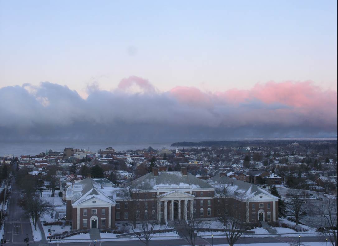
TODAY: Sunny. A high around 20 with a warming trend. Light southwest winds.
TONIGHT: Clear and cold. A low in the lower teens. Light south winds.
SATURDAY: Sunshine filtered by high cloudiness thickening up late. Milder and more seasonable in temperature. A high upper 30s to near 40. South breeze 10 mph.
Looking further ahead…
SATURDAY NIGHT: Cloudy. Rain likely around midnight, starting as a mix of rain and freezing east of the Green Mountains producing hazardous travel.. A low 32 to 35.
SUNDAY: Gray. Periods of rain likely with a risk for pockets of freezing rain early east of the Green Mountains. Areas of fog. Rain tapers to sprinkles late. A high in the upper 30s to near 40.
MONDAY: Cloudy. Good chance wet snow or mixed precipitation arriving late in the afternoon. A low near 32. A high mid to upper 30s.
TUESDAY: Cloudy. Chance for wet snow with potential for significant accumulation. A low around 25. A high near 32.
WEDNESDAY: Mostly cloudy. Scattered leftover snow showers and flurries with minor accumulation.A low in the mid 20s. A high in the low to mid 30s.
Average lows low to mid 20s. Average highs upper 30s to low 40s.
RH/11-23-18[end]
