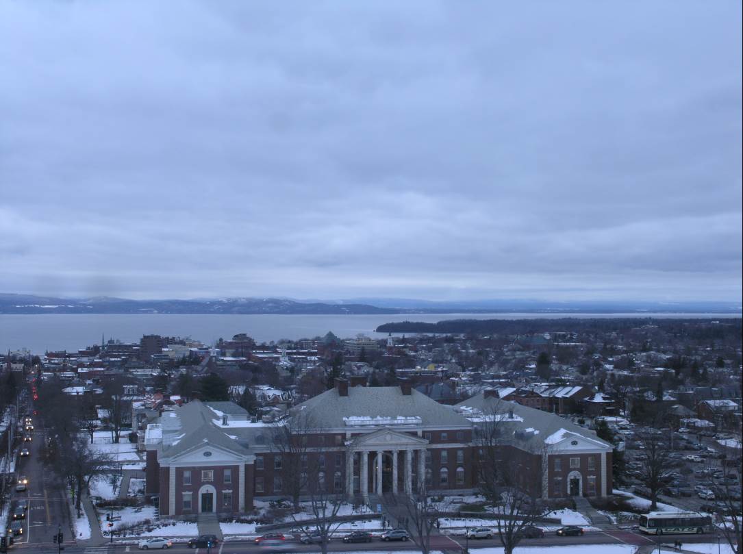
TODAY: Lots of sunshine, with a few clouds. A stray flurry or two toward the northern Champlain valley arrives late. A high in the mid 20s. Light southwest winds.
TONIGHT: Partly cloudy far northern areas. A few flurries. A low around 10. Little wind.
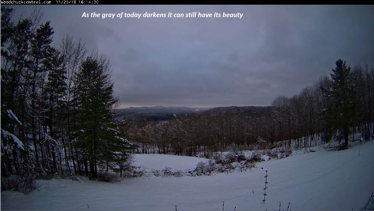
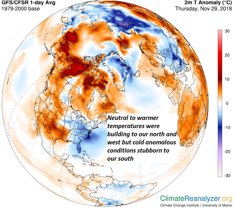
THURSDAY: Partly to mostly cloudy. Chance for afternoon flurries. A high near 30. Southwest winds 10 to 15 mph.
Looking further ahead…
THURSDAY NIGHT: Lots of clouds. Chance for mountain snow showers and valley flurries. Accumulation less than an inch. A low near 20.
FRIDAY: Morning snow showers and flurries exiting in the afternoon. Dusting to an inch. Otherwise mostly cloudy. A high around 25.
SATURDAY: Partly sunny.A low close to zero degrees. A high in the mid to upper teens.
SUNDAY: Morning clouds with scattered mountain snow showers and valley flurries with minor accumulation. Mostly sunny. A low around zero. A high in the mid teens.
MONDAY: Stray flurries northern areas. Otherwise partly to mostly sunny. A low zero to 10 above. A high pushing toward 30 degrees.
TUESDAY: Mixed clouds and sun. A low in the low to mid teens. A high in the upper teens to around 20.
Average lows upper teens to mid 20s. Average highs ranging through the 30s.

RH/12-5[end]