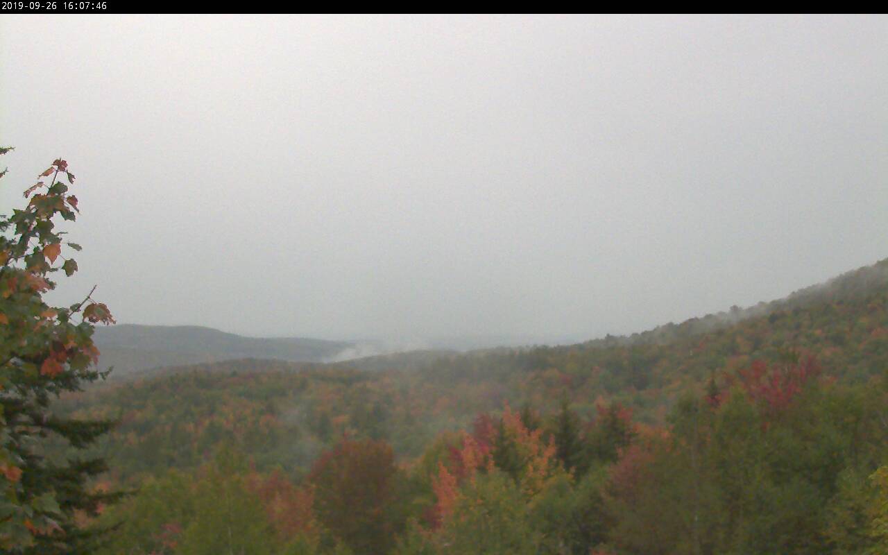
Frost Advisory overnight
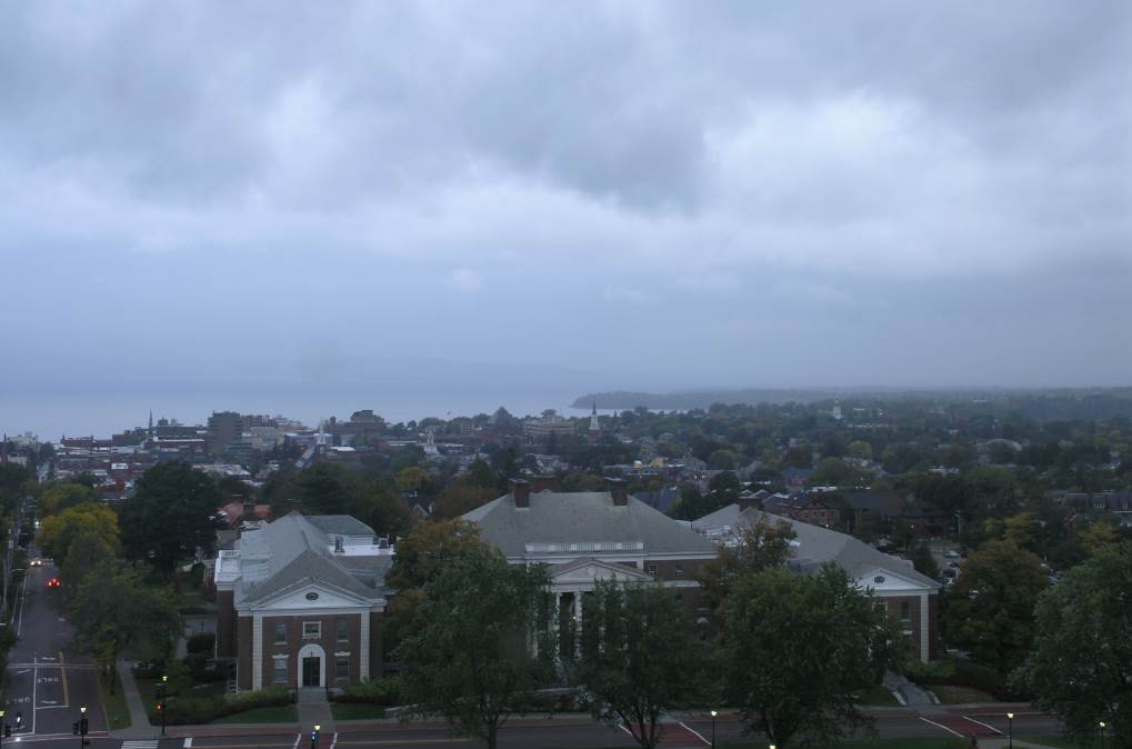
TONIGHT: Becoming partly cloudy and colder. Considerable valley fog with scattered frost. A low in the mid to upper 30s. Light north winds.
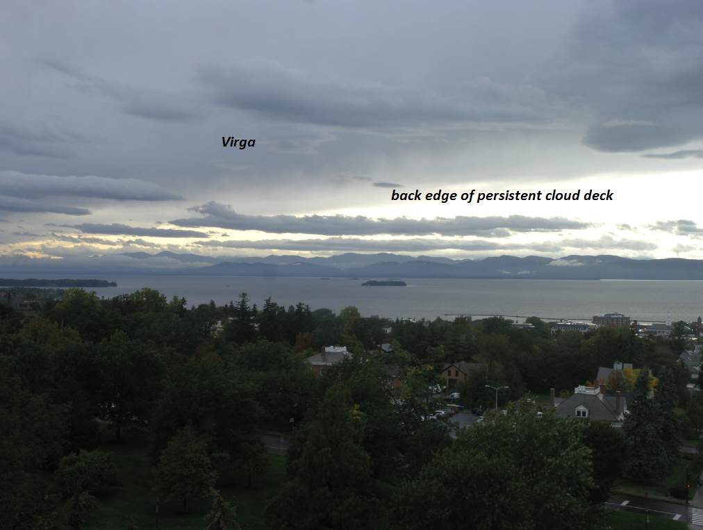
TOMORROW: Morning fog, then, intervals of sunshine before clouding up in the afternoon. Widely scattered light showers developing in the afternoon. A high around 55. Light east to southeast winds.
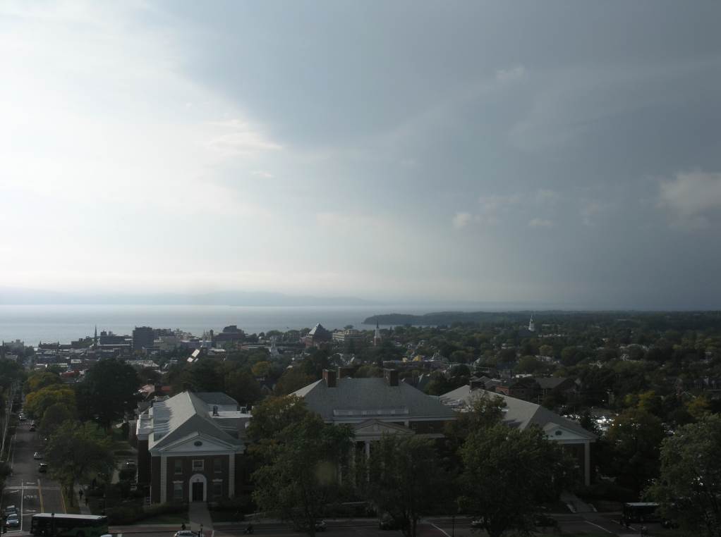
THURSDAY NIGHT: Overcast. Periods of light rain. Areas of fog. A low in the lower 40s. Light southeast winds.
FRIDAY: A few morning showers…otherwise gray, blustery and chilly. A high only in the upper 40s. Northwest winds 10 to 25 mph.
Looking further ahead…
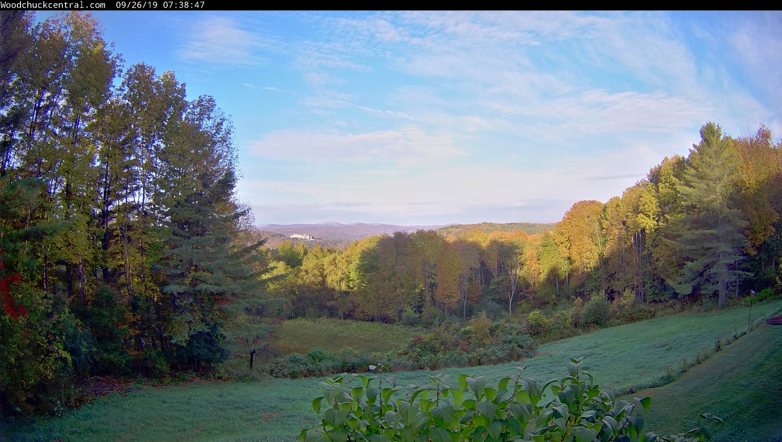
FRIDAY NIGHT: Clear and frosty cold. A low 30 to 35 with widespread frost.
SATURDAY: Morning fog with areas of frost, then lots of sun. A high pushing to near 55.
SUNDAY: Brief morning sun, then lots of clouds. Widely scattered light showers developing in the afternoon. A low mid to upper 30s. A high around 60.
MONDAY: Overcast and gray. Chance for rain or showers. A low in the low 50s. A high near 60.
Average lows mid 30s to lower 40s. Average highs upper 50s to low 60s
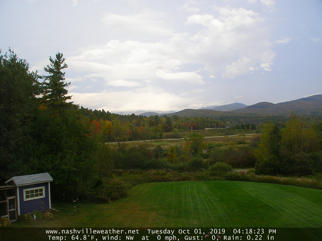
RH/10-2-19[end]