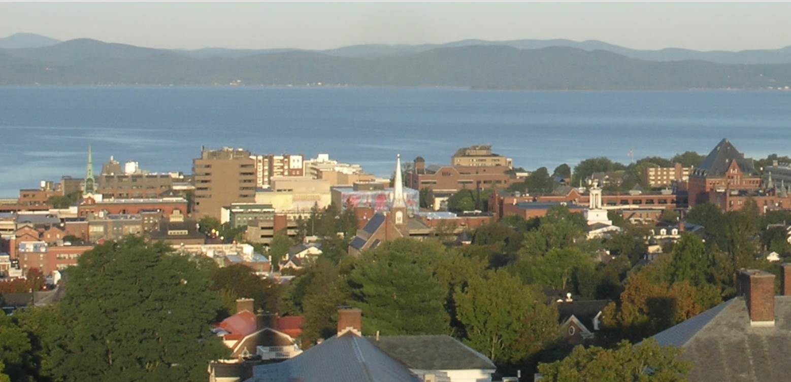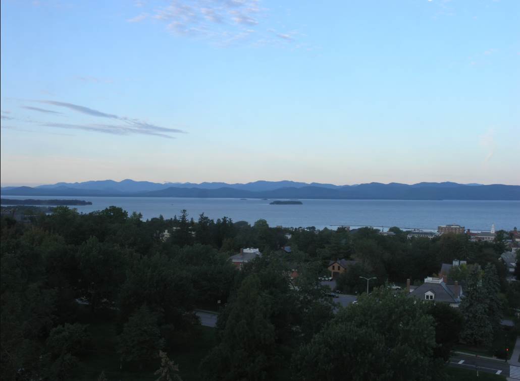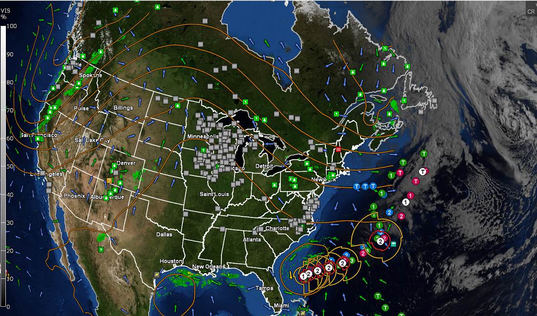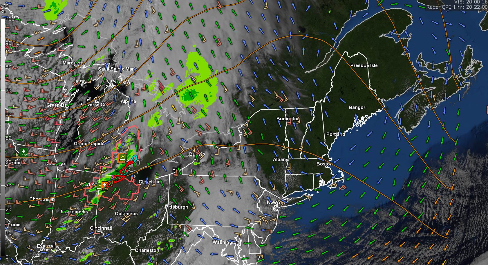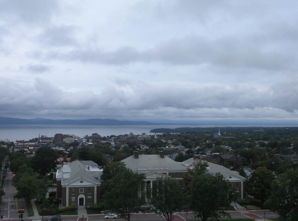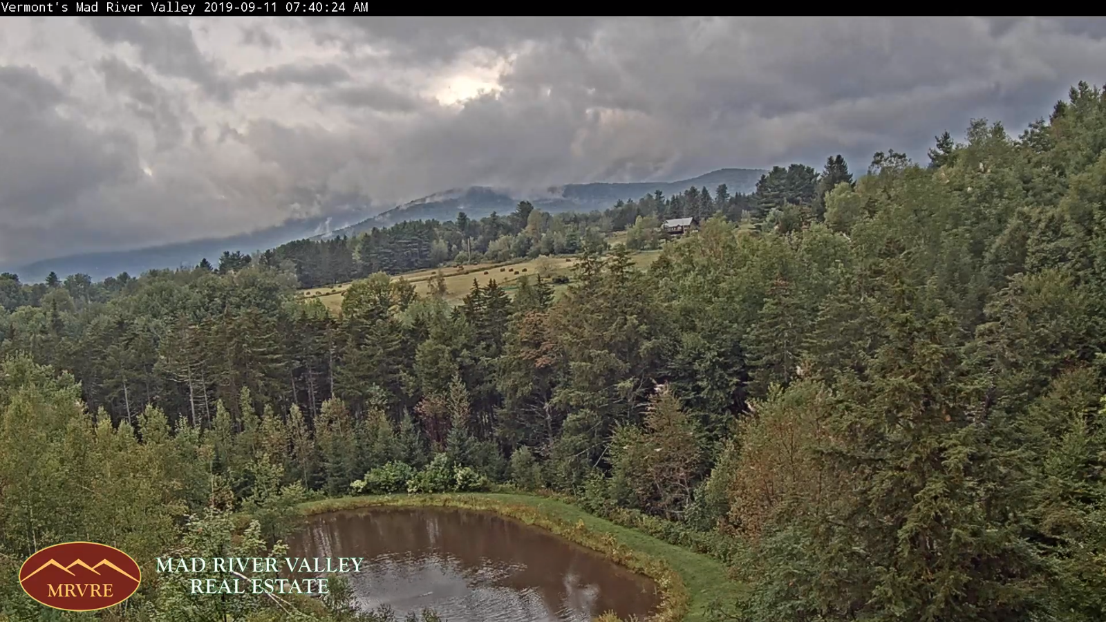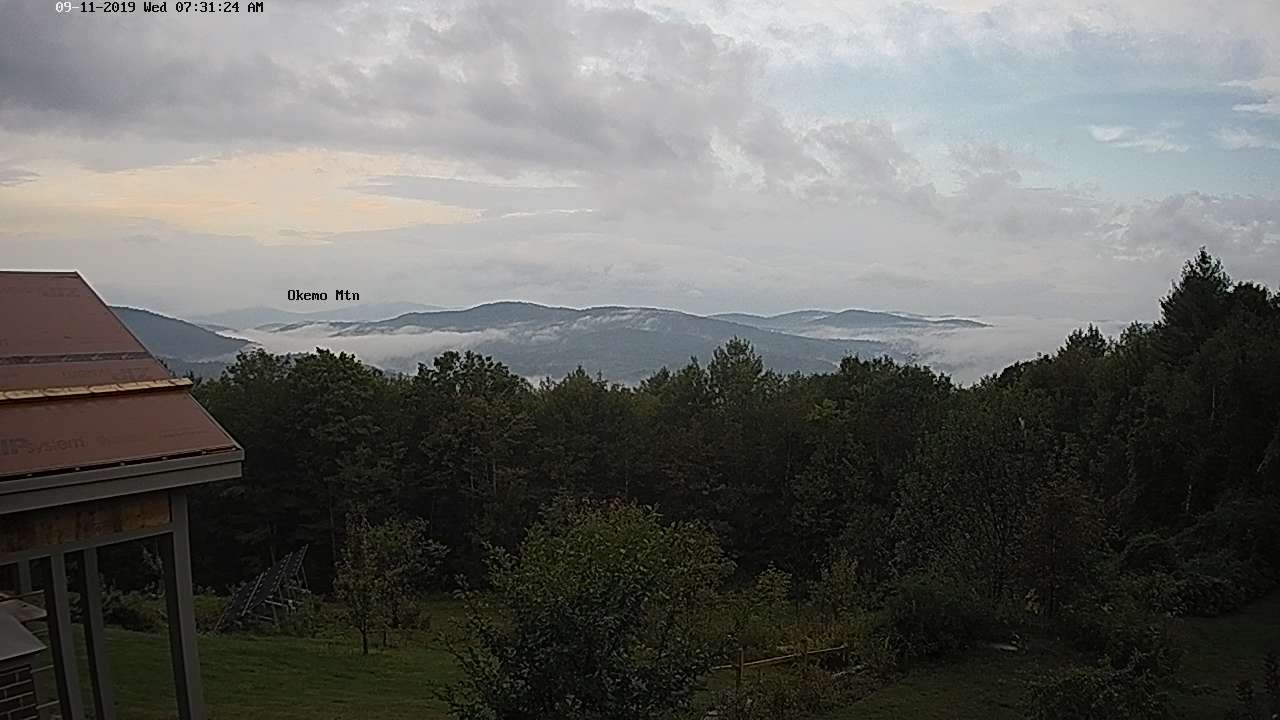
TONIGHT: Evening clouds exiting to mostly clear skies. Patchy valley fog. A low in the upper 30s to low 40s. Light north winds.
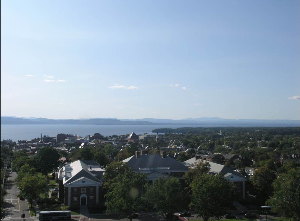
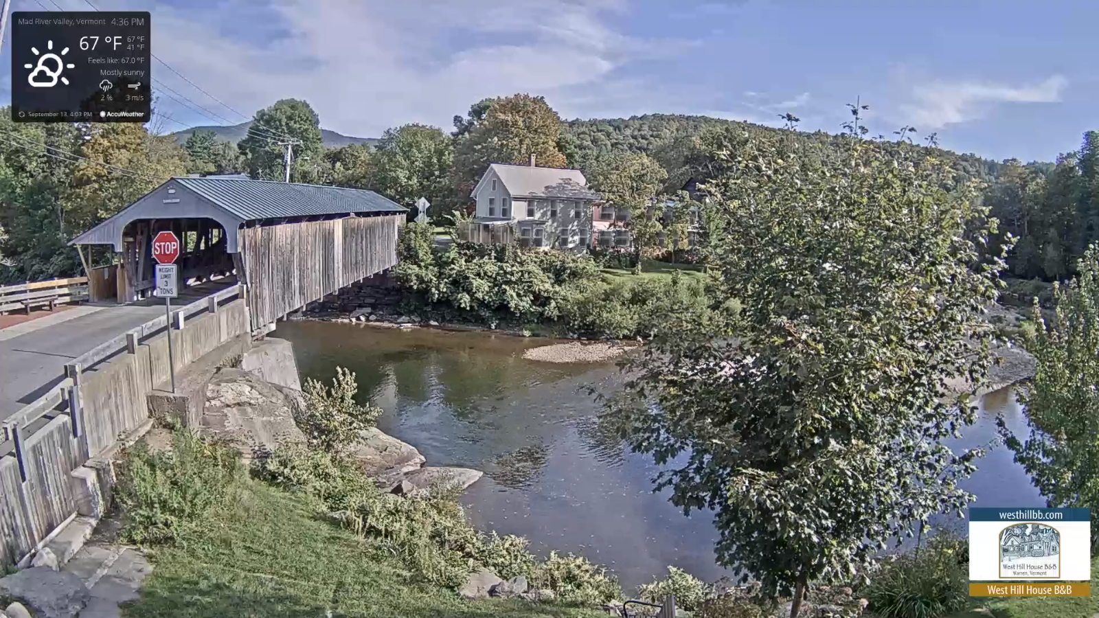
TOMORROW: Morning fog burns off to partly to mostly sunny skies. A high in the mid 60s. Light northeast winds.
WEDNESDAY NIGHT: Mostly clear. Patchy valley fog. A low mid 30s to low 40s. Light southeast winds
THURSDAY: Morning fog, then partly to mostly sunny. A high in the upper 60s to around 70. Light southeast winds.
Looking further ahead…
THURSDAY NIGHT: Mostly clear with patchy valley fog. A low in the mid 40s.
FRIDAY: Morning fog then partly to mostly sunny. A high around 75.
SATURDAY: Mostly sunny with high cloudiness. A low in the mid 50s. A high in the mid to upper 70s.
SUNDAY: Sunshine filtered through high cloudiness. A low in the 50s. A high around 80.
Autumnal Equinox 350 AM Monday morning…
MONDAY: Becoming mostly cloudy. Chance for afternoon showers, maybe a thunderstorm. Moderately warm and humid. A low in the lower 60s. A high 75 to 80
Average lows in the 40s. Average highs 65 to 70.
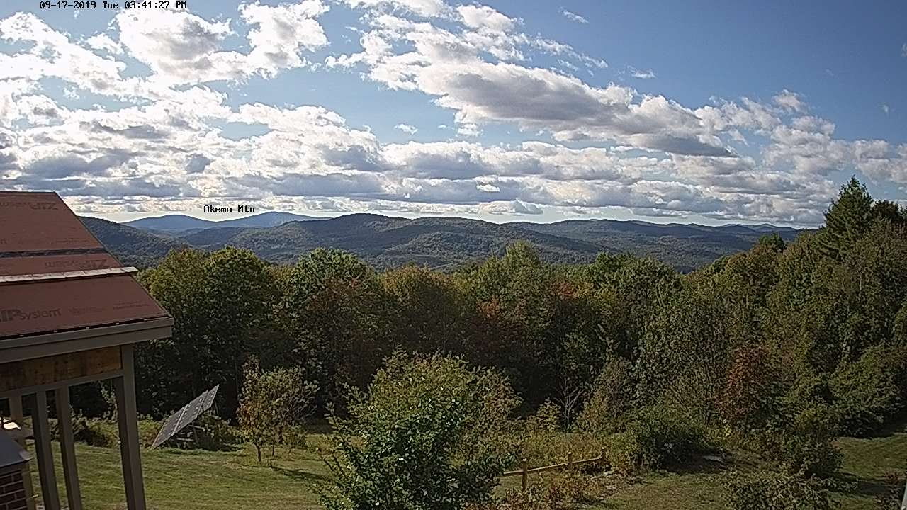
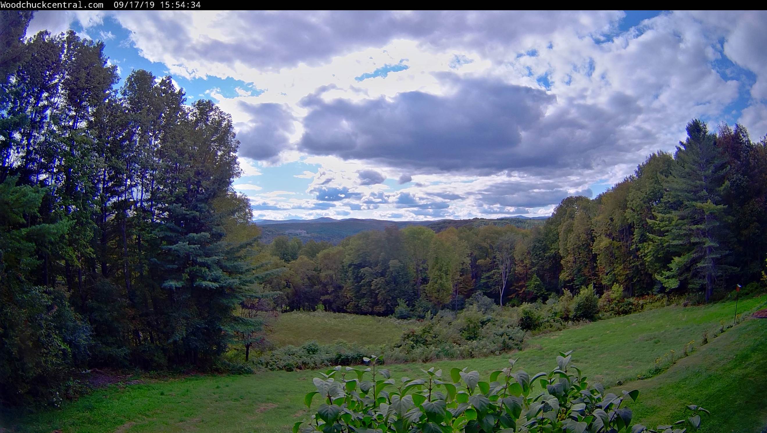
RH/9-17-19[end]