TODAY: Sunshine occasionally filtered through high clouds…thickening up late. Slight chance for a sprinkle far southern areas late. A high upper 50s to low 60s. Light northeast winds.
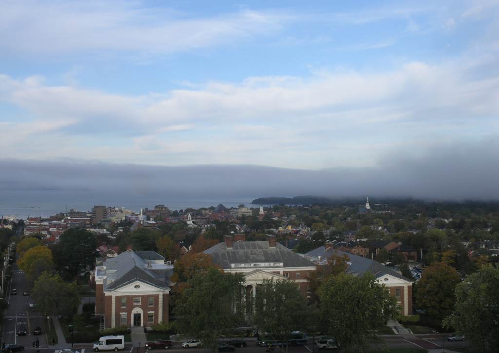
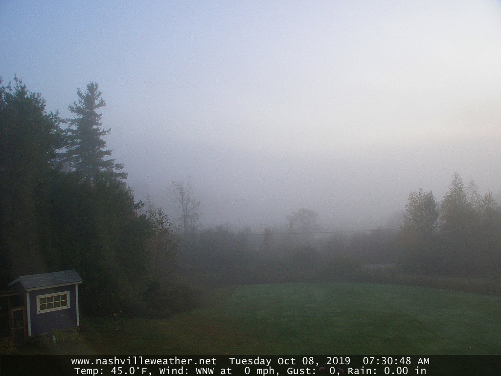
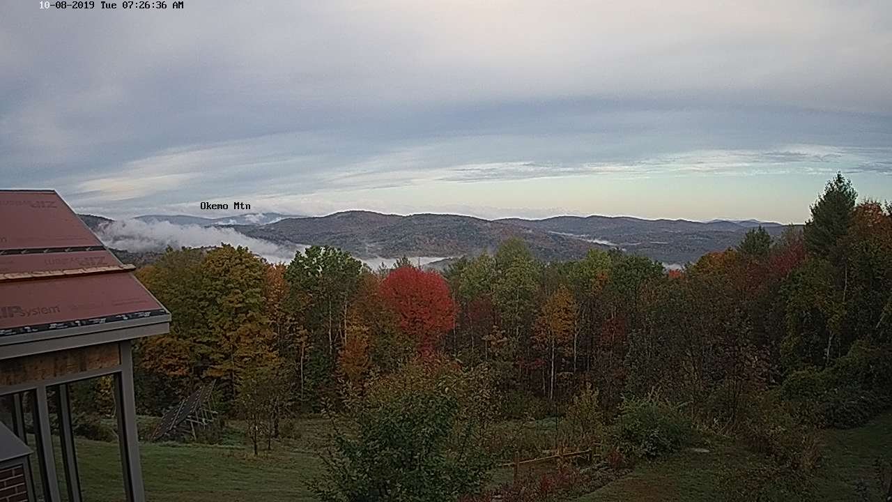
TONIGHT: Partly cloudy with patchy valley fog northern areas. Mainly cloudy southern areas with a few sprinkles. A low ranging low to mid 40s. Light northeast winds.
FRIDAY: Maybe a sprinkle far southern areas, otherwise clouds mixing with more sunshine in the afternoon. A high mid to upper 50s. Northeast breeze 10 mph.
Looking further ahead…
FRIDAY NIGHT: Partly cloudy. Patchy valley fog. A low around 45.
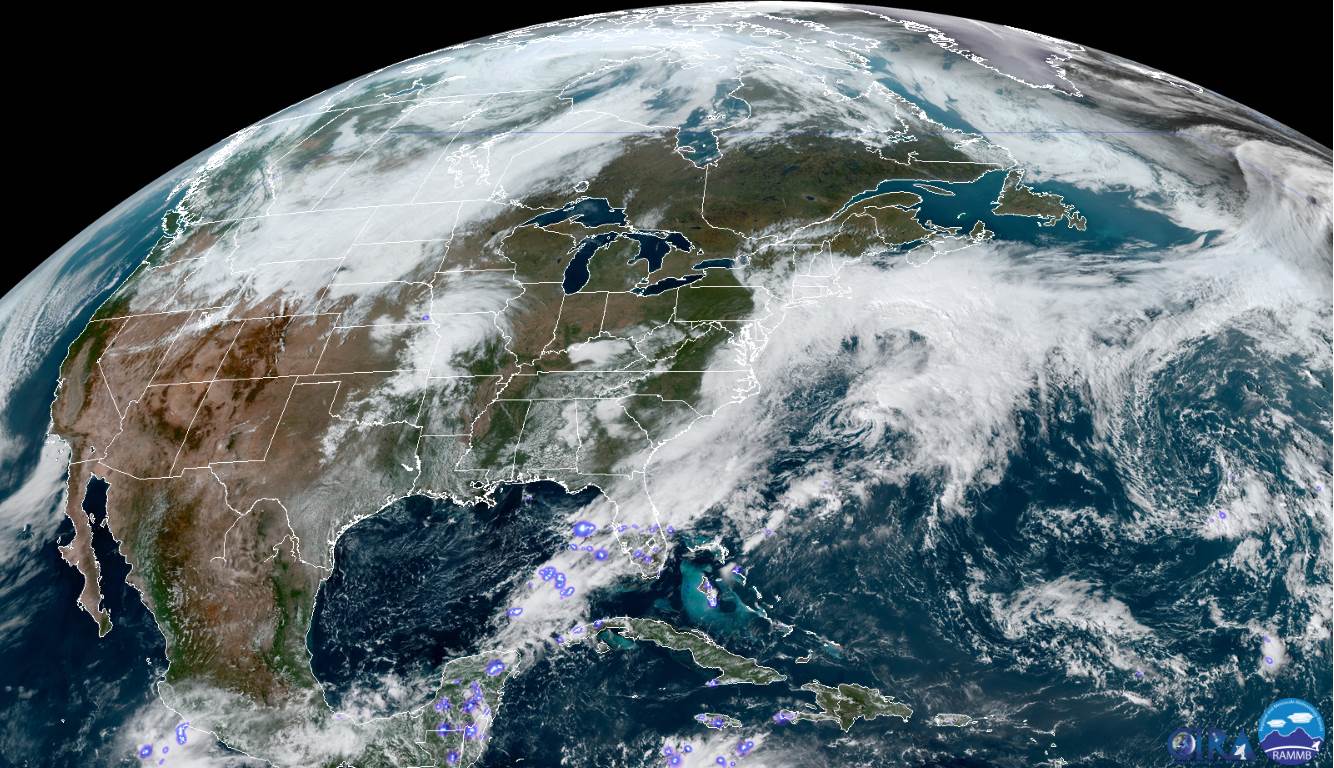
SATURDAY: Partial morning sun, then mostly cloudy. Scattered showers developing toward evening. A high in the lower 60s.
SUNDAY: Maybe a morning shower then partly sunny.A low around 45. A high 55 to 60.
MONDAY: Mostly sunny. A low mid 30s to around 40. A high 60 to 65.
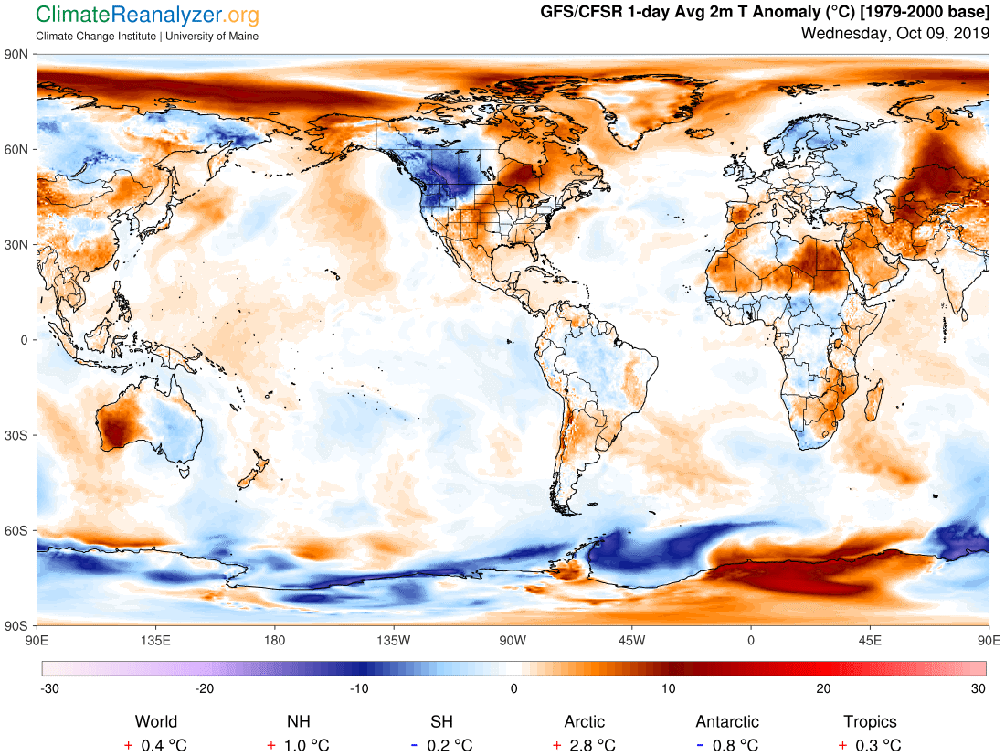
Average lows 35 to 40. Average highs in the mid 50s to around 60.
RH/10-10-19[end]