
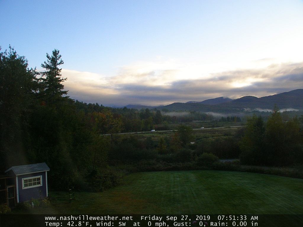
TODAY: Areas of morning fog and low cloudiness, then mostly sunny skies.A high around 65.Light southwest winds.
TONIGHT: Mostly clear then more clouds arrive overnight. A low around 50. Light southwest winds.
SATURDAY: Sun mixed with clouds and breezy in the morning, with a few showers far north. Otherwise clouding up. Showers and isolated late day thunderstorms.A high near 75. Southwesterly breeze 10 to 20 mph.
Looking further ahead…
SATURDAY NIGHT: Scattered evening showers and isolated thunderstorms exiting to gradual clearing overnight. A low upper 40s.
SUNDAY: Morning fog burns off to lots of sunshine and beauty. A high near 65.
MONDAY: Morning fog burns off to lots of sunshine.More clouds late.A low upper 30s. A high 60 to 65.
TUESDAY: Cloudy. Chance for lingering showers in the morning and later again in the afternoon. A low 45 to 50. A high in the low to mid 70s.
WEDNESDAY: Cloudy. Chance for another round of showers and possibly a thunderstorm. A low in the mid 50s. A high near 70.
Average lows upper 30s to mid 40s. Average highs low to mid 60s.
RH/9-27-19[end]
