
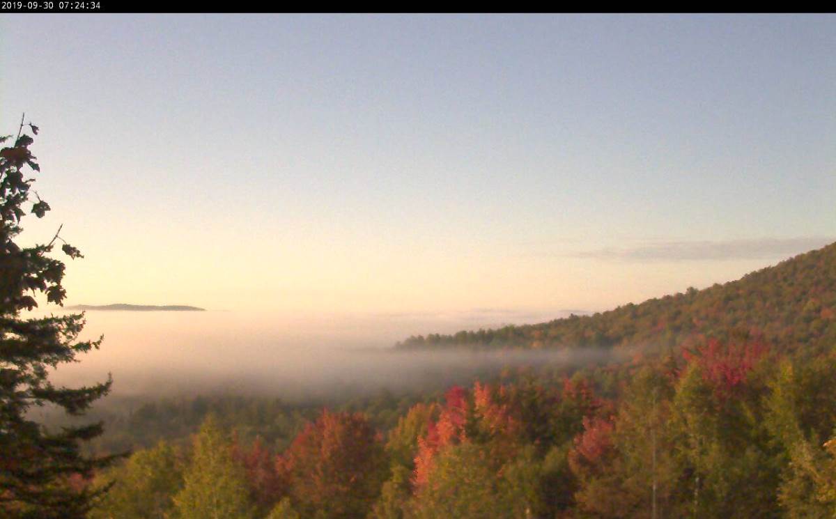
TODAY: Morning fog burns off to lots of sunshine, with more high cloudiness in the afternoon.A high 60 to 65. Light south winds.
TONIGHT: Thickening clouds. A rising chance for a few showers toward daybreak. A low in the upper 40s. South breeze 10 mph.
TUESDAY: Cloudy. Scattered showers in the morning northern areas, otherwise intervals of afternoon sunshine more humid and milder in the afternoon. Chance for late day showers and maybe a thunderstorm. A high in the low 70s.Southerly breeze 10 to 20 mph.
Looking further ahead…
TUESDAY NIGHT: Chance for showers and isolated thunderstorms in the evening. Otherwise mostly cloudy with a lingering shower threat across southern areas overnight. A low 50 to 55.
WEDNESDAY: Lots of clouds with a few breaks of sun northern areas. Chance for showers southern areas. A high in the mid 50s with temperatures falling in the afternoon central and northern areas.
THURSDAY: Partly sunny after morning fog, then increasing clouds. Chance for showers or rain in the afternoon. A morning low in the mid 30s to near 40 with a threat for frost. Well below normal temperatures. A high around 50.
FRIDAY: Clouds with a chance for showers. A low in the 30s with areas of frost. Well below normal temperatures. A high in the mid 40s to around 50.
Average lows mid 30s to lower 40s. Average highs in the 60s.

RH/9-30-19[end]
