Updated Wednesday morning Forecast — December 18th, 2019

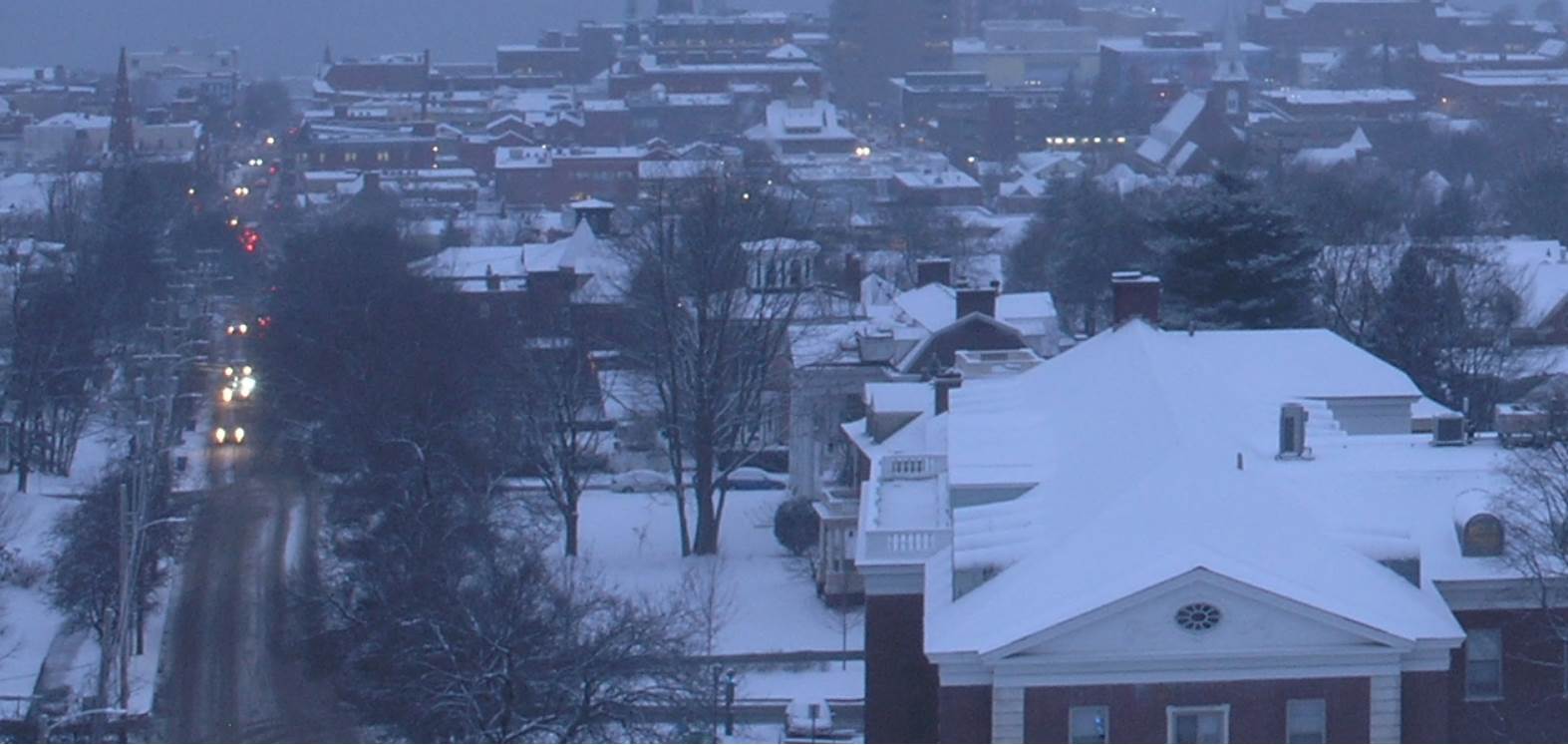
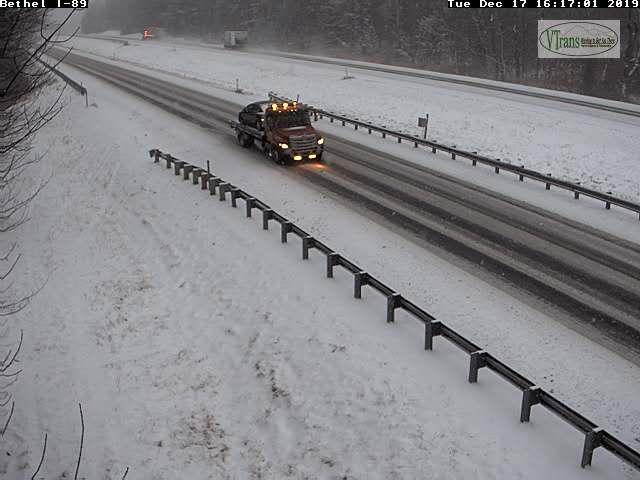
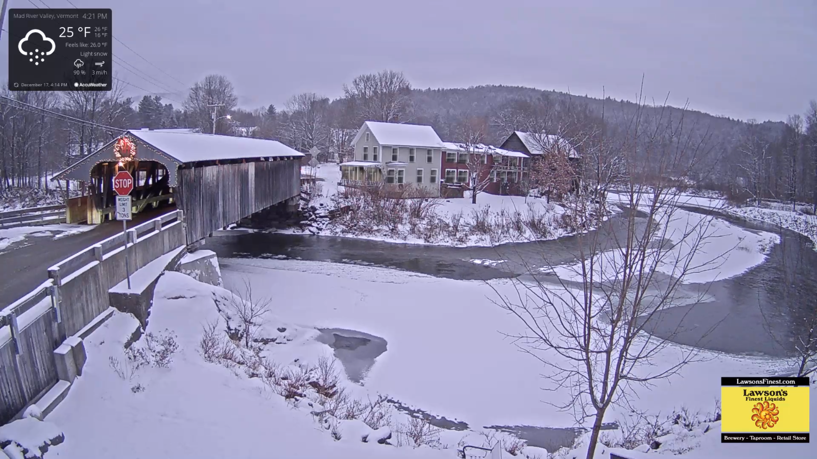
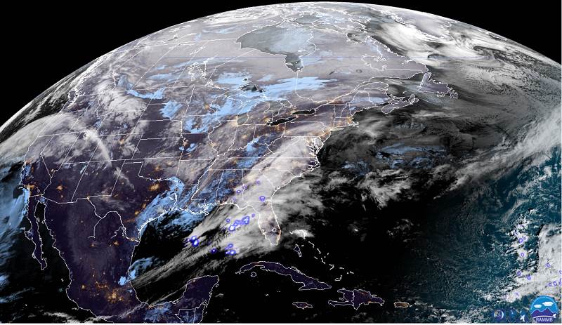
TODAY: Mainly cloudy with a few flurries exiting this morning. Accumulating snow showers & a few intense squalls developing later this afternoon with white-outs and poor travel. Additional accumulation up to 2”. A high upper 20s to near 30. West to southwest winds pick up 10 to 20 mph late.


TONIGHT
: Variable clouds. Blustery and sharply colder. Accumulating snow squalls with white-outs and poor travel…winding down overnight. Dusting to locally 3”. A low 5 below to 5 above. Northwest winds lowering wind chills.

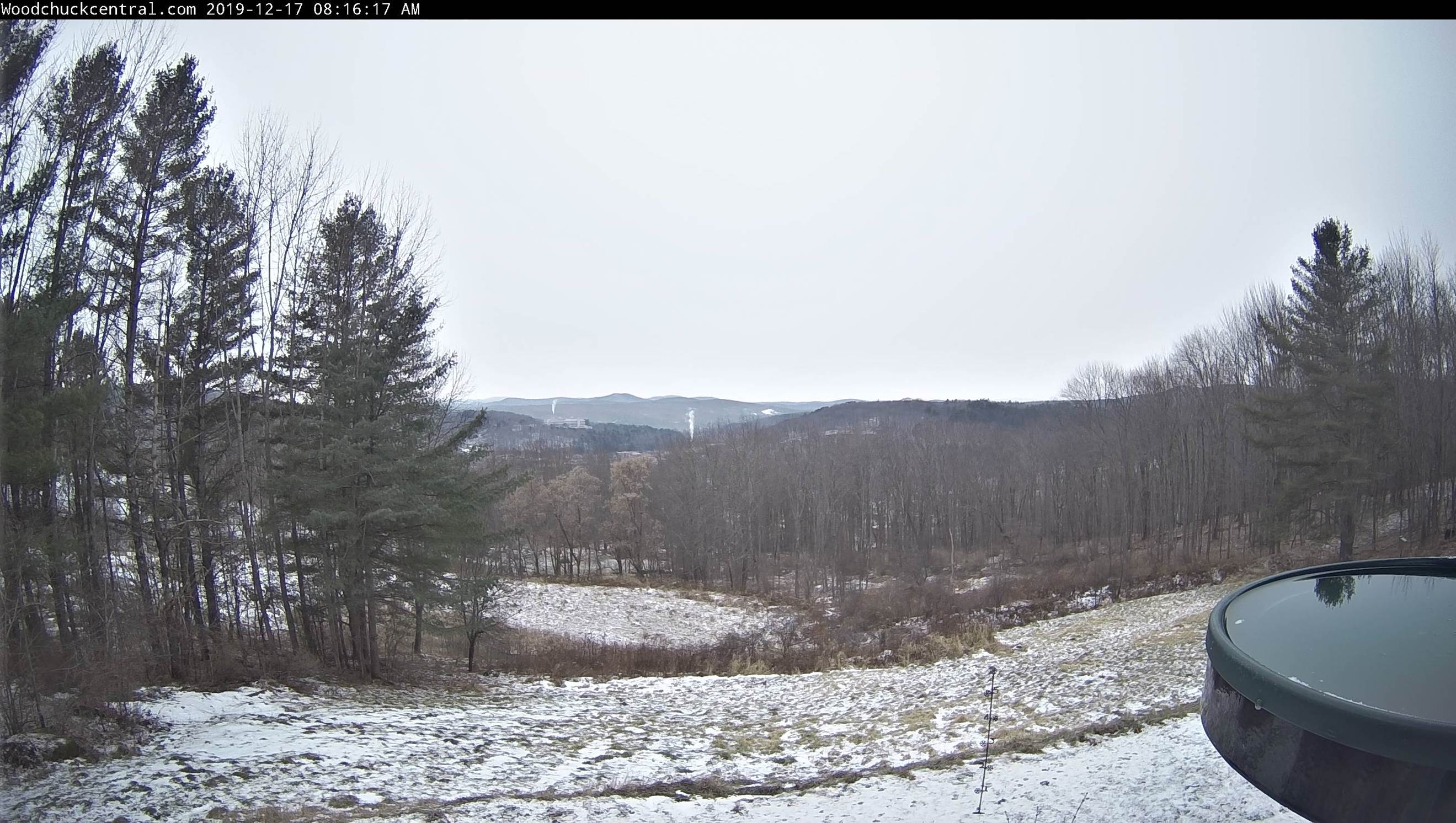
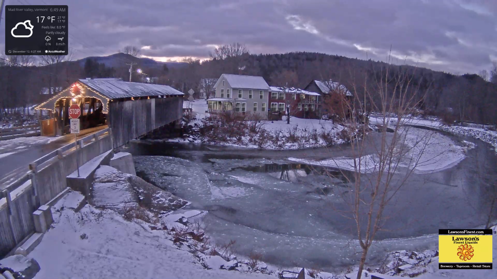
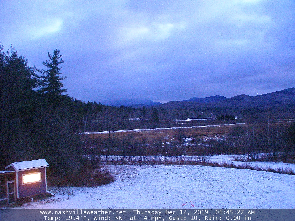
THURSDAY: Scattered morning flurries followed by partly cloudy skies north, and mostly sunny Barre-Montpelier area south. Cold and blustery with lowered wind chills and blowing a drifting snow. A high mid to upper teens. Northwest winds 10 to 20 mph.

Looking further ahead…

THURSDAY NIGHT: Partly cloudy. “Diamond dust” A low 5 below to 5 above.

FRIDAY: Morning clouds with Diamond dust then sunny and cold. A high just 10 to 15.

Winter Solstice 11:19 PM Saturday evening

SATURDAY: Some clouds in the morning then mostly sunny after a frigid start. A low 10 below to 5 above. A high 20 to 25.

SUNDAY: Partly to mostly sunny. Beginning of a warming trend. A low 5 to 10. A high 35 to 40.

MONDAY: Partly to mostly sunny. A low in the teens. A high 40 to 45.

Average lows ranging through upper single digits to mid teens, average highs 30 to 35.

RH/12-18-19[end]

Updated Tuesday Evening Forecast — December 17th, 2019

TONIGHT: Snow showers this evening becoming isolated overnight. Total accumulation 1 to locally 4”. Otherwise mainly cloudy. A low 15 to 20. Light north winds.

TOMORROW: Mostly cloudy and becoming blustery late. Accumulating snow showers & a few intense squalls developing northern areas in the afternoon. Additional accumulation up to 2”. A high upper 20s to near 30. West to southwest winds pick up 10 to 20 mph late.

WEDNESDAY NIGHT: Variable clouds. Blustery and sharply colder. Accumulating snow squalls winding down overnight. Dusting to 2”. A low zero to 5 above. Northwest winds lowering wind chills.

THURSDAY: Flurries in the morning followed by intervals of afternoon sunshine north, and mostly sunny southern areas. Cold and blustery with lowered wind chills. A high in the teens. Northwest winds 10 to 20 mph.

Looking further ahead…

THURSDAY NIGHT: Partly cloudy. “Diamond dust” A low 5 below to 5 above.

FRIDAY: A few morning clouds with Diamond dust then sunny and cold. A high just 10 to 15.

Winter Solstice 11:19 PM Saturday evening

SATURDAY: Filtered sunshine after a frigid start. A low zero to 10 below. A high around 25.

SUNDAY: Partly to mostly sunny. Beginning of a warming trend. A low around 10. A high in the mid 30s.

Average lows ranging through upper single digits to mid teens, average highs 30 to 35.

RH/12-17-19[end]

Updated Tuesday Morning Forecast — December 17th, 2019

TODAY: Gray. Light accumulating snow develops northward from Rutland…with snow coated roads developing by mid day northern areas. A high 25 to 30. Light northeast winds.

TONIGHT: Periods of light accumulating snow showers and flurries. Total accumulation 1 to 3”northern VT…2 to locally 5” southern areas. Otherwise mainly cloudy. A low 15 to 20. Light north winds.

WEDNESDAY: Mostly cloudy and blustery at times. Accumulating snow showers with a risk for snow squall far northern areas late. Additional accumulation dusting to 2” Blustery at times. A high upper 20s to near 30. West to southwest winds pick up 10 to 20 mph late.

Looking further ahead…

WEDNESDAY NIGHT: Variable clouds Blustery and sharply colder. Scattered snow showers and chance for a snow squall in the evening winding down overnight. Colder. A low zero to 5 above.

THURSDAY: Morning flurries exit the Northeast Kingdom. Increasing sunshine but cold and blustery with lowered wind chill. A high in the teens.

FRIDAY: Mostly sunny and cold. A low 5 below to 5 above. A high just 10 to 15.

SATURDAY: Filtered sunshine after a frigid start. A low zero to 10 below. A high around 25.

SUNDAY: Partly to mostly sunny. Beginning of a warming trend. A low around 10. A high in the mid 30s.

Average lows ranging through upper single digits to mid teens, average highs 30 to 35.

RH/12-17-19[end]

Updated Monday Evening Forecast — December 16th, 2019

TONIGHT: Mostly clear early…giving way to more clouds becoming partially moonlit. A low upper teens to near 20. Little wind.

TOMORROW: Gray skies. Light accumulating snow toward Rutland…spreading north mid to late morning. A high 25 to 30. Light northeast winds.

TUESDAY NIGHT: Periods of light accumulating snow showers and flurries. Total accumulation 1 to 3”. Otherwise mainly cloudy. A low upper teens to around 20. Light north winds.

WEDNESDAY: Mostly cloudy. Good chance for additional accumulating snow showers. An inch or two. Blustery at times. A high in the upper 20s. West to southwest winds pick up 10 to 20 mph.

Looking further ahead…

WEDNESDAY NIGHT: Variable clouds. Scattered snow showers and chance for a snow squall. Colder. A low zero to 5 above.

THURSDAY: Morning snow showers and flurries exiting to partial sunshine. Blustery at times and chilly. A high in the low to mid teens.

FRIDAY: Mostly sunny and cold. A low 5 below to 5 above. A high near 15.

SATURDAY: Mostly sunny after a frigid start. A low 5 above to 10 below. A high around 25.

Average lows ranging through upper single digits to mid teens, average highs 30 to 35.

RH/12-16-19[end]

Updated Monday morning Forecast — December 16th, 2019

TODAY: Clouds mixing with periods of sunshine. A high in the mid 20s. Northwest winds 10 mph.

TONIGHT: A few mid and high clouds becoming partially moonlit. A low around 20. Light south winds.

TUESDAY: Thickening clouds leading to periods of light accumulating snowfall with snow coated roads in the afternoon. A high upper 20s to around 30. Light northeast winds.

Looking further ahead…

TUESDAY NIGHT: Periods of light accumulating snow showers and flurries winding down toward midnight. Total accumulation 1 to locally 3”. Otherwise partial clearing developing overnight. A low near 20.

WEDNESDAY: Brief partial morning sun, then more clouds. Rising chance for accumulating snow showers and snow squalls. Blustery. A high in the upper 20s.

THURSDAY: Morning snow showers and flurries exiting to partial sunshine. Blustery at times. A low in the single digits. A high around 20.

FRIDAY: Mostly sunny and cold. A low zero to 10 above. A high mid-teens to low 20s.

Average lows ranging through upper single digits to mid teens, average highs 30 to 35.

RH/12-16-19[end]

Updated Friday Evening Forecast — December 13th, 2019

Winter Weather Advisory through midnight tonight

TONIGHT: Cloudy. Spotty mixed precipitation for a time this evening. Watch for hazardous travel developing across colder valleys. Periods of rain with areas of dense fog overnight. Temperatures near 32 to rise into the mid to upper 30s overnight. Light southeast winds.

TOMORROW: Cloudy. Occasional rain tapering to scattered light showers. Areas of fog. A high 40 to 45. Easterly winds 10 mph but stronger western slopes of the Green Mountains in the morning.

SATURDAY NIGHT: Scattered light rain showers…changing to wet snow showers overnight. Temperatures in the low 40s falling to around 32. Winds becoming southwesterly 10 to 20 mph.

SUNDAY: Mostly cloudy. Blustery to windy. Snow showers across mainly the northern Green Mountains. A dusting to a couple inches. A high 32 to 35. Gusty west winds 10 to 25 mph with higher gusts across the hills.

Looking further ahead…

SUNDAY NIGHT: Scattered evening flurries exiting. Otherwise becoming partly cloudy. A low around 15.

MONDAY: Partly to mostly sunny. A high in the mid 20s.

TUESDAY: Gray. Chance for snow accumulation mixed with sleet and freezing rain across southern areas. A low near 15. A high around 25.

WEDNESDAY: Mostly cloudy. Chance for lingering snow showers and flurries. A low 15 to 20. A high around 25.

Average lows 15 to 20, average highs 30 to 35.

RH/12-13-19[end]

Updated Friday Morning Forecast — December 13th, 2019

TODAY: Intervals of morning sun, then lots of clouds. A high in the mid-30s. South winds 10 to 15 mph in the afternoon.

TONIGHT: Cloudy. Mixed precipitation transitioning to rain. Watch for slick icy spots. Temperatures holding in the low 30s. East to southeast breeze 10 mph.

SATURDAY: Cloudy & breezy. Periods of rain…moderate at times in the morning. A high 40 to 45. Easterly winds 10 mph but stronger western Green Mountains.

Looking further ahead…

SATURDAY NIGHT: Occasional rain or rain showers…changing to wet snow showers higher terrain. Temperatures in the low 40s falling sharply overnight to around 32.

SUNDAY: Mostly cloudy. Blustery to windy. Chance for accumulating snow or snow showers especially central and northern Green Mountains. A high 32 to 35. Gusty west to northwest winds to 40 mph.

MONDAY: Partly sunny. A low around 15. A high in the mid 20s.

TUESDAY: Gray. Chance for snow accumulation mixed with sleet and freezing rain across southern areas. A low near 15. A high around 25.

Average lows 15 to 20, average highs 30 to 35.

RH/12-13-19[end]

Updated Thursday Night Forecast — December 12th, 2019

TONIGHT: Considerable high cloudiness. A low around 20. Light southeast winds.

TOMORROW: Intervals of morning sunshine, then lots of clouds. A high in the mid-30s. South winds 10 to 15 mph in the afternoon.

FRIDAY NIGHT: Cloudy. Mixed precipitation transitioning to rain. Watch for slick icy spots. A low around 32. East to southeast breeze 10 mph.

SATURDAY: Cloudy & breezy. Periods of rain…moderate at times in the morning. A high 40 to 45. Easterly winds 10 mph but stronger western Green Mountains.

Looking further ahead…

SATURDAY NIGHT: Occasional rain or rain showers…changing to wet snow showers higher terrain. A low near 32

SUNDAY: Mostly cloudy. Blustery to windy. Chance for accumulating snow or snow showers especially central and northern Green Mountains. A high near 35. Gusty west to northwest winds to 45 mph.

MONDAY: Morning clouds then partial sunshine. A low 10 to 15. A high 25 to 30.

TUESDAY: Gray. Chance for light snow accumulation. A low in the mid teens. A high around 25.

Average lows 15 to 20, average highs 30 to 35.

RH/12-12-19[end]

Updated Thursday Morning Forecast — December 12th, 2019

TODAY: Clouds mixing with lots of sunshine this morning. Sunshine gives way to more clouds later this afternoon. A high in the mid to upper 20s. West to northwest winds 10 mph.

TONIGHT: Considerable high cloudiness. A low 20 to 25. Light southeast winds.

FRIDAY: Intervals of sunshine then clouding up in the afternoon. A high in the mid to upper 30s. South winds 10 to 15 mph.

Looking further ahead…

FRIDAY NIGHT: Cloudy. A rising chance for mixed precipitation transitioning to rain. Watch for slick icy spots. A low around 32.

SATURDAY: Cloudy & breezy. Periods of rain…moderate at times in the morning. A high in the low 40s.

SUNDAY: Mainly cloudy and blustery to windy. Chance for accumulating snow or snow showers. A low near 32. A high mid 30s. Gusty west to northwest winds.

MONDAY: Morning clouds then partial sunshine. A low around 15. A high in the low 30s.

TUESDAY: Gray. Chance for light snow accumulation. A low 15 to 20. A high in the upper 20s.

Average lows 15 to 20, average highs 30 to 35.

RH/12-12-19[end]

Updated Wednesday Evening Forecast — December 11th, 2019

TONIGHT: Scattered snow showers and flurries this evening diminishing around midnight. A light coating in spots across northern Vermont. Otherwise clearing overnight. Blustery. A low around 15. West to northwest winds picking up at 10 to 20 mph lowering wind chills.

TOMORROW: Bright sunshine, then more clouds arriving late. A high in the mid to upper 20s. West to northwest winds 10 mph.

THURSDAY NIGHT: Considerable high cloudiness. A low 20 to 25. Light southeast winds.

FRIDAY: Intervals of sunshine then clouding up in the afternoon. A high in the mid to upper 30s. South winds 10 to 15 mph.

Looking further ahead…

FRIDAY NIGHT: Cloudy. A rising chance for mixed precipitation transitioning to rain. Watch for slick icy spots. A low around 32.

SATURDAY: Cloudy & breezy. Periods of rain…moderate at times in the morning. A high in the low 40s.

SUNDAY: Mainly cloudy and blustery. Chance for periods of accumulating snow or snow showers. A low near 32. A high 40 to 45.

MONDAY: Morning clouds then intervals of sun. A low around 15. A high in the low 30s.

TUESDAY: Gray. Chance for light snow accumulation. A low around 20. A high in the mid to upper 20s.

Average lows 15 to 20, average highs 30 to 35.

RH/12-11-19[end]